These Irish name elements are associated with this record in the Logainm glossary.
An element’s translation is a clue, rather than a complete explanation of the name. Its form and meaning depend on local history and the full Irish name.
Recorded forms
Cluain Lára· Irish · main form · validated name
Cloonlara· English · main form
Clonlara· English · main form · local name
Place & story
Navigation around the Shannon falls
The eighteenth-century Errina Canal formed part of the navigation works bypassing the Doonass Falls between Limerick and Killaloe. Samuel Lewis's 1837 parish description records daily communication by steam and other boats, alongside local limestone quarrying and bleaching works. Clonlara itself had a dispensary, police station and weekly petty sessions. These details show a village serving a working river district, with transport, public services and small-debt courts supporting the surrounding population. The canal's purpose was to carry traffic past a difficult stretch of the natural river.[2]
A second canal for a different purpose
The Shannon hydroelectric scheme transformed the area again in the late 1920s. Clonlara lay between Parteen weir and Ardnacrusha power station, with the new headrace carrying water towards the turbines. The community heritage project records farms and townlands divided, rivers diverted and new roads and bridges created during the works. Unlike the older navigation canal, the headrace was built to supply power generation. The two waterways explain why Clonlara's surroundings contain engineering works of very different scale and purpose, separated by roughly a century and a half.[3]
The Church of Ireland building
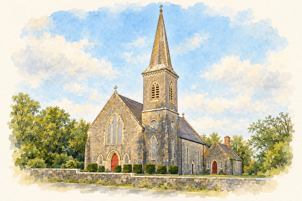
Cloonlara's Church of Ireland church dates from around 1815, with its entrance tower added around 1830. The National Inventory of Architectural Heritage records a compact nave, later side additions and a three-stage tower finished with battlements and pinnacles. Dressed limestone details frame the pointed openings, while coloured glazing and iron gates contribute to the building's character. Its construction belongs to the period between the two major canal projects. The church therefore offers an architectural reference point for the village before the much larger changes brought by hydroelectric development.[4]
Both counts use the 2016 settlement boundary, allowing like-for-like comparison. CSO supplies the 2022 count on this older boundary for comparison only. The official 2022 Built Up Area has different boundaries.
View population figures
Clonlara — Census 2016 settlement footprint — census population
These are the historical areas published in the 2006 census report. Boundaries may differ between censuses and from modern settlements. Legal towns, environs and suburbs are shown separately; none has been combined into a modern settlement total.
View population figures
Clonlara, Clare — Census town, CSO 2006 report — census population
These are the historical areas published in the 1996 census report. Boundaries may differ between censuses and from modern settlements. Legal towns, environs and suburbs are shown separately; none has been combined into a modern settlement total.
View population figures
Clonlara, Clare — Census town, CSO 1996 report — census population
Figures cover the historical town area printed in the 1986 report. Boundaries may have changed between censuses. Legal town, environs and suburb totals remain separate and differ from modern settlement boundaries.
View population figures
Clonlara, Clare — Census town, CSO 1986 report — census population
These figures use different area definitions. Read the boundary note before comparing them.
Clonlara, Clare
Published census settlement populations
713people · 2016
Settlement boundaries changed during this period. Differences may reflect boundary changes as well as population change. Where a 2011 legal-town-and-environs count is shown, it has not been recalculated onto the 2016 settlement boundary.
St Senan's Catholic Church, Clonlara illustration: based on a The Roman Catholic church at Clonlara by Humphrey Bolton. AI-assisted watercolour and ink adaptation; cream paper margins added, incidental clutter omitted and fine details simplified. Licence: CC BY-SA 2.0.
 placenames