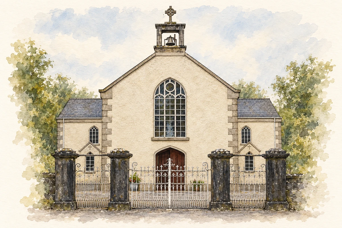
Crusheen grew beside the Ennis–Gort road. Its church records generations of local patronage, while storyteller Eddie Lenihan has made the village his home.
Illustration, St Cronan's Church, Crusheen, County Clare
⊕Recorded locationCrusheen52.93801° N · 8.89662° WInteractive map supplied by OpenStreetMap.
A reliable full-name meaning has not been established here. The recorded Irish and English forms are given without an unsupported translation.
Recorded forms
Croisín· Irish · main form · validated name
Crusheen· English · main form
Place & story
A roadside trading and administrative centre
In 1837 Samuel Lewis described Crusheen as a village of 57 houses and 316 inhabitants on the road from Ennis to Gort. Livestock fairs took place at nearby Brodagh on four dates spread through the year. A police station and dispensary served the district, while fortnightly petty sessions and road sessions made the village a place for public business. Lewis also recorded both an older Catholic chapel and its nearly completed replacement, capturing a moment of change in the settlement's religious buildings.[2]
Saint Cronan's and its benefactors
Saint Cronan's Catholic Church was built in 1837 and substantially reconstructed in 1915. Its cross-shaped arrangement belongs to the period of large, practical parish churches built before the Famine. The later work included an elaborate altar and reredos by Earley of Dublin. Margaret Spelman, who died in 1912, left £500 for church improvements in memory of her first husband, John Curtin; local fundraising also supported the project. Two small circular stained-glass windows beside the altar carry the sacred monogram IHS.[3]
People & connections
Eddie Lenihan's collecting and railway interests
Eddie Lenihan, the storyteller and folklore collector, was born in Brosna, County Kerry, and has lived for much of his life in Crusheen. His interests also extend to railway history. He published In the Tracks of the West Clare Railway in 1990 and described walking its entire former route in a later interview. Speaking about Crusheen's own railway in 2025, he argued that a halt could serve local passengers. His contribution connects an interest in remembered stories with the practical history of movement through Clare.[4]
Both counts use the 2016 settlement boundary, allowing like-for-like comparison. CSO supplies the 2022 count on this older boundary for comparison only. The official 2022 Built Up Area has different boundaries.
View population figures
Crusheen — Census 2016 settlement footprint — census population
These are the historical areas published in the 2006 census report. Boundaries may differ between censuses and from modern settlements. Legal towns, environs and suburbs are shown separately; none has been combined into a modern settlement total.
View population figures
Crusheen, Clare — Census town, CSO 2006 report — census population
These figures use different area definitions. Read the boundary note before comparing them.
Crusheen, Clare
Published census settlement populations
543people · 2016
Settlement boundaries changed during this period. Differences may reflect boundary changes as well as population change. Where a 2011 legal-town-and-environs count is shown, it has not been recalculated onto the 2016 settlement boundary.
St Cronan's Church, Crusheen, County Clare illustration: based on a Crusheen Church outside by The Banner. AI-assisted watercolour and ink adaptation; cream paper margins added, incidental clutter omitted and fine details simplified. Licence: CC BY-SA 3.0.
 placenames