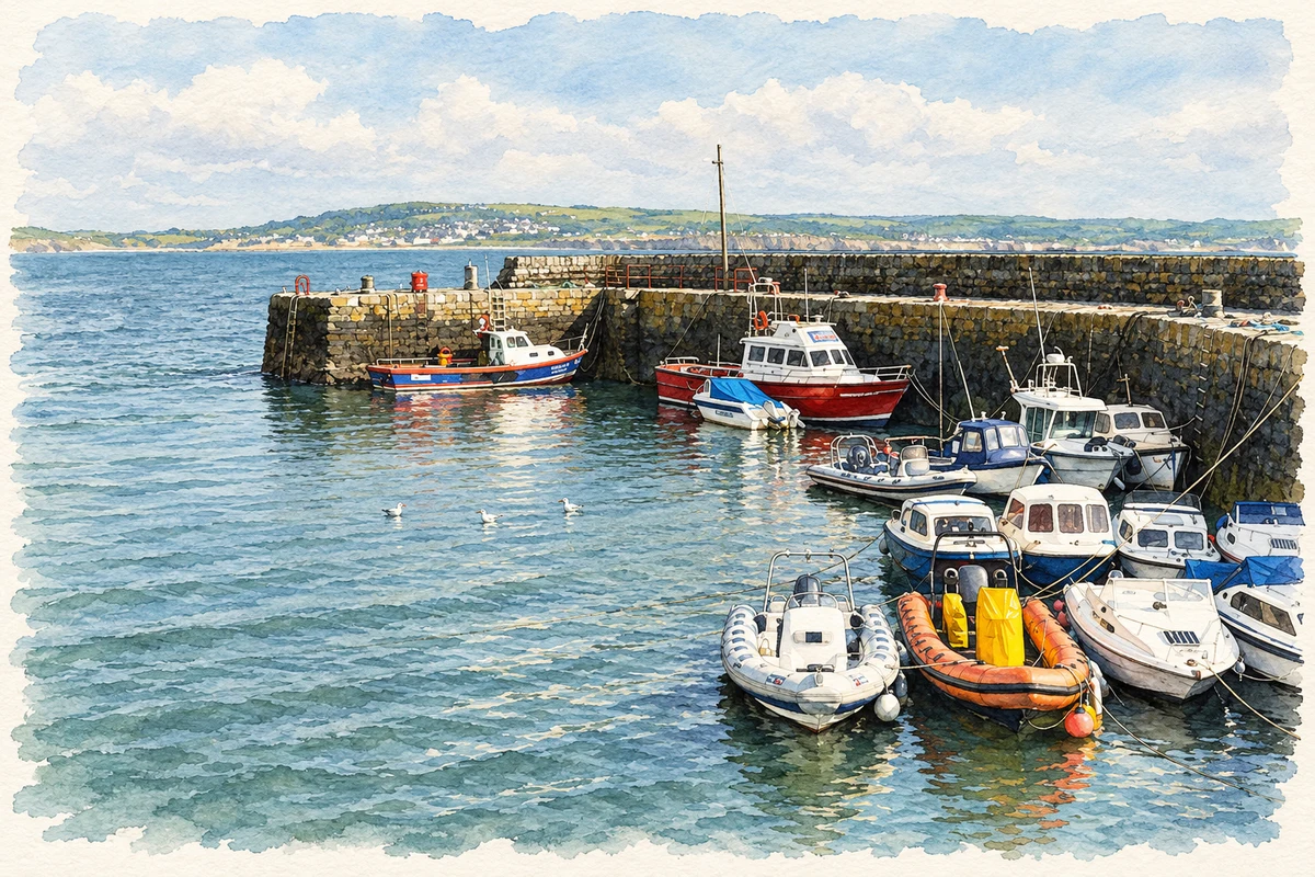
Liscannor’s maritime history extends from its sheltered piers to John Philip Holland’s submarine designs, while its building stone preserves a much older seabed.
Illustration, Liscannor Harbour, in 2014
⊕Recorded locationLiscannor52.93773° N · 9.39352° WInteractive map supplied by OpenStreetMap.
These Irish name elements are associated with this record in the Logainm glossary.
An element’s translation is a clue, rather than a complete explanation of the name. Its form and meaning depend on local history and the full Irish name.
Recorded forms
Lios Ceannúir· Irish · main form · validated name
Liscannor· English · main form
Place & story
Building shelter on an exposed bay
The coastal heritage survey’s account of Liscannor traces harbour works through Fishery Board and Office of Public Works records. Alexander Nimmo prepared proposals during the 1820s, followed by reports on construction, high tides and damage. The harbour’s enclosing cut-stone piers belong to nineteenth-century phases, dated approximately 1830 and 1880 in the architectural inventory. These successive interventions show the difficulty of providing dependable shelter on an Atlantic bay: the pier required repair and improvement as well as initial construction.[2][3]
Saint Brigid’s rebuilt in 1858
The earlier Catholic church became unsafe in 1856, prompting parish priest Edmund Power to arrange its demolition and replacement. The diocese records that Mr O’Brien MP supplied the site, stone and a substantial donation. The new Saint Brigid’s was completed in 1858 at a cost of £500. A major renovation followed in 1978 under architect Michael Hilary and local builders Guerin and Considine. A bell cast in 1892 was mounted during that work, bringing an older furnishing into the renovated church.[4]
People & connections
John Philip Holland’s submarine
John Philip Holland was born in Liscannor before emigrating to the United States in 1873. His early submarine proposals were rejected by the US Navy, but he continued developing experimental boats. The vessel Holland, launched in 1897, was acquired by the navy on 11 April 1900 and commissioned that October. It subsequently served in training and experimental work. Holland’s achievement gives this small Clare village a direct connection with the development of the modern submarine and the difficult passage from private experiment to naval acceptance.[5]
The markings in Liscannor stone
Liscannor stone carries visible traces of the environment in which it formed. The Burren and Cliffs of Moher Geopark explains that sandstone, siltstone and mudstone accumulated as an ancient delta advanced and sea levels changed. During quieter intervals, currents left ripples and animals made tracks in the sediment. Trace fossils, possibly produced by extinct arthropods and gastropods, remain conspicuous in Liscannor stone. The markings seen in a finished slab therefore record activity on a long-vanished seabed.[6]
Both counts use the 2016 settlement boundary, allowing like-for-like comparison. CSO supplies the 2022 count on this older boundary for comparison only. The official 2022 Built Up Area has different boundaries.
View population figures
Liscannor — Census 2016 settlement footprint — census population
These are the historical areas published in the 2006 census report. Boundaries may differ between censuses and from modern settlements. Legal towns, environs and suburbs are shown separately; none has been combined into a modern settlement total.
View population figures
Liscannor, Clare — Census town, CSO 2006 report — census population
These figures use different area definitions. Read the boundary note before comparing them.
Liscannor, Clare
Published census settlement populations
113people · 2016
Settlement boundaries changed during this period. Differences may reflect boundary changes as well as population change. Where a 2011 legal-town-and-environs count is shown, it has not been recalculated onto the 2016 settlement boundary.
Liscannor Harbour illustration: based on a Liscannor Harbour by Ian Capper. AI-assisted watercolour and ink adaptation; cream paper margins added, incidental clutter omitted and fine details simplified. Licence: CC BY-SA 2.0.
 placenames