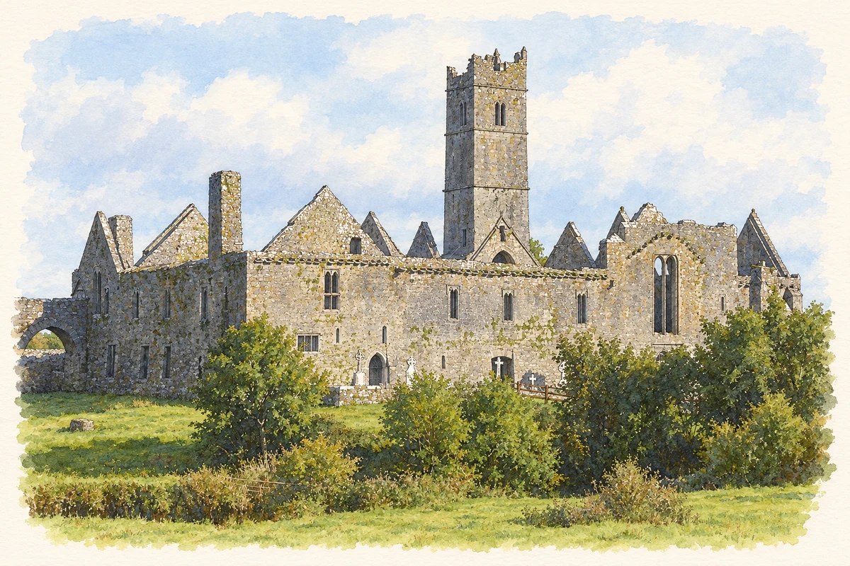
Quin’s cloisters preserve medieval architecture within an older castle enclosure, alongside recorded legends about their making and memorials to the friars who served here.
Illustration, Quin Friary
⊕Recorded locationQuin52.81760° N · 8.86533° WInteractive map supplied by OpenStreetMap.
A reliable full-name meaning has not been established here. The recorded Irish and English forms are given without an unsupported translation.
Recorded forms
Cuinche· Irish · main form · validated name
Quin· English · main form
Place & story
From fortified enclosure to friary
Quin's Franciscan friary occupies the ruins of a castle built for Thomas de Clare in the late thirteenth century. Parts of the castle towers remain visible at the corners, so the religious buildings preserve an earlier defensive footprint. The MacNamara family sponsored the later medieval complex, including the cloisters, bell tower and chapel. The Office of Public Works identifies the surviving cloisters as a particularly important example of Franciscan architecture. The site did not emerge in a single construction campaign: military enclosure, religious foundation, family burial place and later repairs all contributed to what survives.[2]
Folklore & tradition
The Gobbán saor and the twisted pillars
Thomas Johnson Westropp recorded a Quin tradition attributing the abbey to the Gobbán saor, the legendary master builder associated with monuments across Ireland. In this account he shaped the spiral cloister pillars by twisting them with his hands. Westropp also noted a story that a builder fell from the roof and was buried beneath a stone marked with an axe. These explanations attached extraordinary skill and human tragedy to visible features of the building. They are recorded folklore about its construction, rather than evidence identifying a real medieval architect or establishing the cause of a particular burial.[3]
People & connections
Remembering the last friar
An inscription copied at Quin in the nineteenth century commemorates the Reverend John Hogan of Drim, who died in 1820 aged eighty. It describes him as the last of the Franciscan friars who had lived at Drim after leaving Quin, supported by donations and assisting neighbouring parish priests. Westropp published the transcription through the Association for the Preservation of the Memorials of the Dead. The memorial connects the great medieval buildings with a later, more precarious religious life maintained outside them. It also shows how grave inscriptions preserve biographical details absent from the architectural remains alone.[4]
Both counts use the 2016 settlement boundary, allowing like-for-like comparison. CSO supplies the 2022 count on this older boundary for comparison only. The official 2022 Built Up Area has different boundaries.
View population figures
Quin — Census 2016 settlement footprint — census population
These are the historical areas published in the 2006 census report. Boundaries may differ between censuses and from modern settlements. Legal towns, environs and suburbs are shown separately; none has been combined into a modern settlement total.
View population figures
Quin, Clare — Census town, CSO 2006 report — census population
These are the historical areas published in the 1996 census report. Boundaries may differ between censuses and from modern settlements. Legal towns, environs and suburbs are shown separately; none has been combined into a modern settlement total.
View population figures
Quin, Clare — Census town, CSO 1996 report — census population
Figures cover the historical town area printed in the 1986 report. Boundaries may have changed between censuses. Legal town, environs and suburb totals remain separate and differ from modern settlement boundaries.
View population figures
Quin, Clare — Census town, CSO 1986 report — census population
These figures use different area definitions. Read the boundary note before comparing them.
Quin, Clare
Published census settlement populations
951people · 2016
Settlement boundaries changed during this period. Differences may reflect boundary changes as well as population change. Where a 2011 legal-town-and-environs count is shown, it has not been recalculated onto the 2016 settlement boundary.
 placenames