These Irish name elements are associated with this record in the Logainm glossary.
An element’s translation is a clue, rather than a complete explanation of the name. Its form and meaning depend on local history and the full Irish name.
Recorded forms
Carn an Bhua· Irish · main form · validated name
Carnew· English · main form
Place & story
People & connections
Calcott Chambre and the ironworks
Calcott Chambre, a Welsh settler, leased Carnew Castle in 1619 and developed iron smelting outside the town during the following decades. He also established a large deer park. Carnew's industrial growth belonged to a wider exploitation of the Shillelagh oak woods: charcoal fuelled iron production, while timber had other commercial uses. During the rebellion of 1641, Chambre and English settlers endured a prolonged siege in the castle, drawing the estate and its industries into the conflict.[2]
1798 and the rebuilding of the town
The rebellion of 1798 brought executions of prisoners held at Carnew Castle, fighting and the burning of much of the town. Government troops withdrew, and repeated attacks left lasting damage. The early nineteenth century saw extensive rebuilding by the Coollattin estate. New houses rose on Main Street, Brunswick Row and the Coollattin Road. The estate also supported private building and later attempted to provide schooling across denominations, showing how reconstruction involved both the physical town and its divided community.[2]
A tower house adapted for domestic life
The surviving castle is a late-sixteenth-century tower house altered over several periods. After a long period of disuse, the fourth Earl Fitzwilliam reroofed it in the early nineteenth century. It later served as a rectory and became a private home after the Second World War. A castellated parapet hides the roof, while a curved bay, corner bartizan and Gothic entrance preserve its unusual mixture of defensive and domestic features. A high boundary wall separates the house from Main Street.[3]
Folklore & tradition
Cromwell's Rock
Lewis recorded a local story in 1837 that the castle had been battered and unroofed by Cromwell's army from a rock overlooking the town. The outcrop was known as Cromwell's Rock. In the tradition, the attack took place as the army travelled from Dublin towards Wexford. The story attached the castle's ruined state to a named feature of the surrounding landscape, even after the building had been repaired and returned to use.[4]
Both counts use the 2016 settlement boundary, allowing like-for-like comparison. CSO supplies the 2022 count on this older boundary for comparison only. The official 2022 Built Up Area has different boundaries.
View population figures
Carnew — Census 2016 settlement footprint — census population
These are the historical areas published in the 2006 census report. Boundaries may differ between censuses and from modern settlements. Legal towns, environs and suburbs are shown separately; none has been combined into a modern settlement total.
View population figures
Carnew, Wicklow — Census town, CSO 2006 report — census population
These are the historical areas published in the 1996 census report. Boundaries may differ between censuses and from modern settlements. Legal towns, environs and suburbs are shown separately; none has been combined into a modern settlement total.
View population figures
Carnew, Wicklow — Census town, CSO 1996 report — census population
Figures cover the historical town area printed in the 1986 report. Boundaries may have changed between censuses. Legal town, environs and suburb totals remain separate and differ from modern settlement boundaries.
View population figures
Carnew, Wicklow — Census town, CSO 1986 report — census population
These figures use different area definitions. Read the boundary note before comparing them.
Carnew, Wicklow
Published census settlement populations
1,052people · 2016
Settlement boundaries changed during this period. Differences may reflect boundary changes as well as population change. Where a 2011 legal-town-and-environs count is shown, it has not been recalculated onto the 2016 settlement boundary.
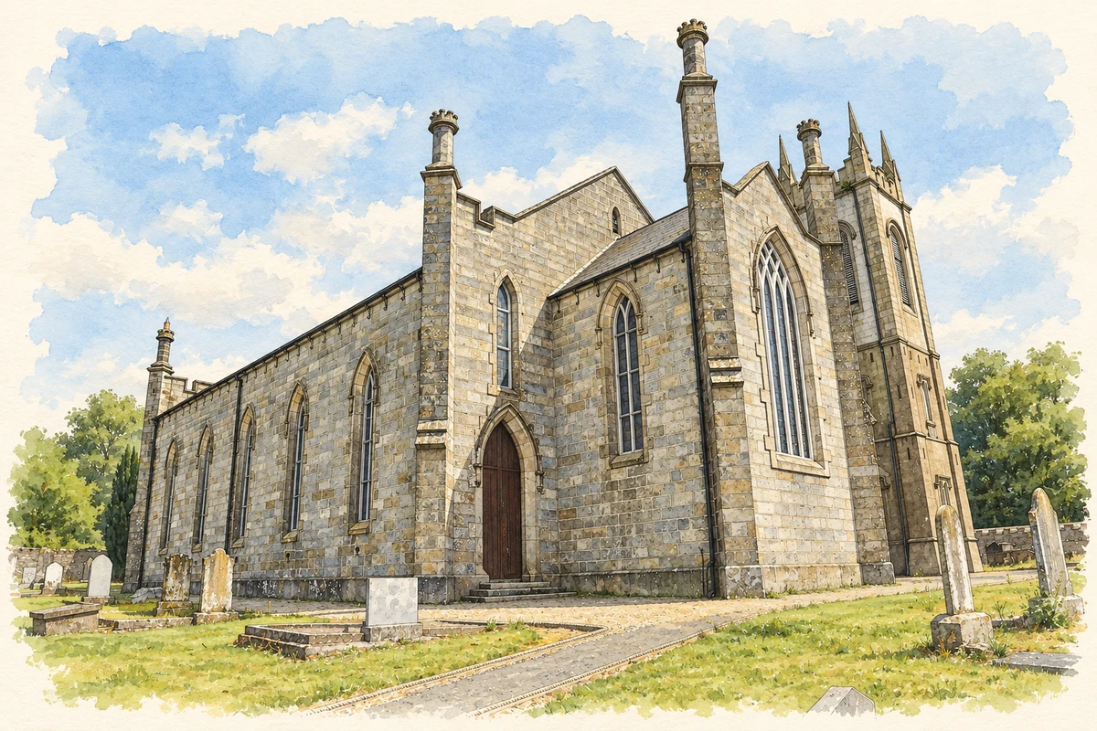
All Saints Church, Carnew illustration: based on a Carnew - All Saints Church - 20180725132839 by Anna Maria 4574. AI-assisted watercolour and ink adaptation; cream paper margins added, incidental clutter omitted and fine details simplified. Licence: CC BY-SA 4.0.
 placenames