These Irish name elements are associated with this record in the Logainm glossary.
An element’s translation is a clue, rather than a complete explanation of the name. Its form and meaning depend on local history and the full Irish name.
Recorded forms
Dún Ard· Irish · main form · validated name
Donard· English · main form
Place & story
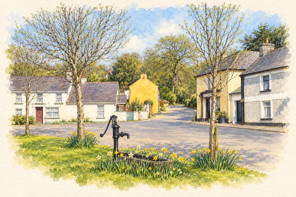
The stone on the village green
Donard's ogham stone was moved to the village green in 1995. Its earlier recorded locations were nearby Mill Farm and Donard Demesne. The marks along its edge belong to an early Irish writing system commonly used to record personal names. Local researcher Oonagh McElligott notes that the Donard inscription is difficult to read and has no definite translation. The stone's move into the village brought an older object from the surrounding landscape into the centre of everyday community life.[2]
What survives of the old church
The 2024 conservation plan dates Donard's ruined parish church to the fifteenth or sixteenth century. Its western gable retains a bellcote above the entrance, while a round-headed window survives in the eastern wall. A granite cross-inscribed graveslab lies inside. Traditionally associated with St Sylvester, the slab is itself medieval, with a tentative thirteenth- or fourteenth-century date. These surviving features preserve several phases of use within a churchyard whose religious associations reach further back than the present walls.[3]
Rebellion and rebuilding
Samuel Lewis reported in 1837 that Donard had been burned during the 1798 rebellion and that inhabitants sought refuge in Dunlavin. Yeomanry occupied the old church, damaging it badly. A new Church of Ireland building was erected on another site in 1835 with an £850 Board of First Fruits grant. Lewis also recorded that Donard's former market and two fairs had ceased, although a pleasure fair continued on 15 August. His account describes a village rebuilding institutions while some older trading functions declined.[4]
Folklore & tradition
Pilgrims on Church Mountain
Lewis also recorded pilgrimage to Church Mountain, which he called Slieve Gadoe, in the hills separating the King's River from the Glen of Imaal. He associated the ruined mountain church with St Sylvester and described visitors drawn to a well beside its walls. The well's sacred reputation, and a belief that its water level remained constant throughout the year, formed part of the local devotional tradition he recorded. This mountain pilgrimage belongs to Donard's wider landscape, beyond the village churchyard.[4]
Both counts use the 2016 settlement boundary, allowing like-for-like comparison. CSO supplies the 2022 count on this older boundary for comparison only. The official 2022 Built Up Area has different boundaries.
View population figures
Donard — Census 2016 settlement footprint — census population
These are the historical areas published in the 2006 census report. Boundaries may differ between censuses and from modern settlements. Legal towns, environs and suburbs are shown separately; none has been combined into a modern settlement total.
View population figures
Donard, Wicklow — Census town, CSO 2006 report — census population
These are the historical areas published in the 1996 census report. Boundaries may differ between censuses and from modern settlements. Legal towns, environs and suburbs are shown separately; none has been combined into a modern settlement total.
View population figures
Donard, Wicklow — Census town, CSO 1996 report — census population
Figures cover the historical town area printed in the 1986 report. Boundaries may have changed between censuses. Legal town, environs and suburb totals remain separate and differ from modern settlement boundaries.
View population figures
Donard, Wicklow — Census town, CSO 1986 report — census population
These figures use different area definitions. Read the boundary note before comparing them.
Donard, Wicklow
Published census settlement populations
196people · 2016
Settlement boundaries changed during this period. Differences may reflect boundary changes as well as population change. Where a 2011 legal-town-and-environs count is shown, it has not been recalculated onto the 2016 settlement boundary.
 placenames