These Irish name elements are associated with this record in the Logainm glossary.
An element’s translation is a clue, rather than a complete explanation of the name. Its form and meaning depend on local history and the full Irish name.
Recorded forms
Áth na Sceire· Irish · main form · validated name
Enniskerry· English · main form
Place & story
Hotels, coaches and a lending library
By 1837 Enniskerry already welcomed visitors from Dublin to the Dargle, Powerscourt and the surrounding scenery. Lewis counted about seventy houses, describing many as cottage-style buildings. Hotels and lodging houses accommodated travellers arriving by coach and jaunting car. A school near the bridge included rooms for its teachers and space used as a lending library. Wingfield family patronage supported these institutions, alongside a girls' school, almshouses and a subscription-funded fever hospital.[2]
The clock that supplied water
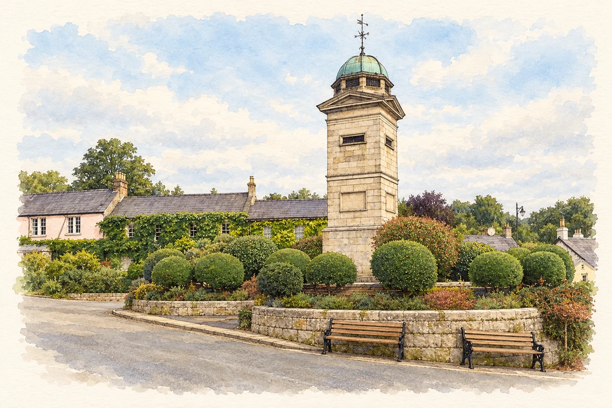
The granite clock tower was built in 1843, with its copper-domed cupola added in 1860 by Sir George Moyers. Its raised platform made it a focal point in the village. The monument also supplied water: iron fountain spouts project from two sides, with former basins and troughs incorporated into the structure and base. The tower combined public timekeeping with an everyday service for people and animals passing through Enniskerry.[3]
People & connections
Daniel Robertson's garden landscape
At neighbouring Powerscourt, Daniel Robertson prepared garden designs in the 1840s which were developed over subsequent decades. Terraces connect the house with the lake and frame views into the wider Wicklow landscape. The seventh viscount laid a first stone as a child in October 1843. Italian landscapes influenced the upper terrace, while some decorative cobbles came from Bray beach. The resulting garden joins architectural ambition with materials gathered close to home.[4]
Both counts use the 2016 settlement boundary, allowing like-for-like comparison. CSO supplies the 2022 count on this older boundary for comparison only. The official 2022 Built Up Area has different boundaries.
View population figures
Enniskerry — Census 2016 settlement footprint — census population
Enniskerry, Wicklow — Census town, CSO 2006 report
2002–2006: census town
1,881people · 2006
These are the historical areas published in the 2006 census report. Boundaries may differ between censuses and from modern settlements. Legal towns, environs and suburbs are shown separately; none has been combined into a modern settlement total.
View population figures
Enniskerry, Wicklow — Census town, CSO 2006 report — census population
Enniskerry, Wicklow — Census town, CSO 1996 report
1991–1996: census town
1,275people · 1996
These are the historical areas published in the 1996 census report. Boundaries may differ between censuses and from modern settlements. Legal towns, environs and suburbs are shown separately; none has been combined into a modern settlement total.
View population figures
Enniskerry, Wicklow — Census town, CSO 1996 report — census population
Enniskerry, Wicklow — Census town, CSO 1986 report
1981–1986: census town
1,229people · 1986
Figures cover the historical town area printed in the 1986 report. Boundaries may have changed between censuses. Legal town, environs and suburb totals remain separate and differ from modern settlement boundaries.
View population figures
Enniskerry, Wicklow — Census town, CSO 1986 report — census population
These figures use different area definitions. Read the boundary note before comparing them.
Enniskerry, Wicklow
Published census settlement populations
1,889people · 2016
Settlement boundaries changed during this period. Differences may reflect boundary changes as well as population change. Where a 2011 legal-town-and-environs count is shown, it has not been recalculated onto the 2016 settlement boundary.
 placenames