These Irish name elements are associated with this record in the Logainm glossary.
An element’s translation is a clue, rather than a complete explanation of the name. Its form and meaning depend on local history and the full Irish name.
Recorded forms
Cill Chomhghaill· Irish · main form · validated name
Kilcoole· English · main form
Place & story
Rifles landed in August 1914
About six hundred Mauser rifles were landed at Kilcoole during the night of 1–2 August 1914. They formed the remainder of the weapons obtained in Germany for the Irish Volunteers after the better-known Howth landing. The local studies library identifies the coastal memorial with this operation. The shingle shore became a point of entry into a network of transport and political preparation extending towards Dublin.[2]
People & connections
Cyclists on the approach roads
A witness statement in the Bureau of Military History describes Volunteers reaching the district in small cycling parties by different roads. Outposts watched routes near Delgany, and a party cut telephone and telegraph wires. The witness remembered a dark night, an encounter with two policemen and relief from duty around dawn. These recollections reveal the operation’s dependence on coordinated local movements and watchkeeping as well as the vessel bringing the cargo.[3]
Protecting the little terns
Since 1985 BirdWatch Ireland has worked with support from the National Parks and Wildlife Service to protect little terns nesting on the coast. The colony occupies shingle at the Breaches between Kilcoole and Newcastle stations. Fencing reduces disturbance and predation around nests made in shallow scrapes. The organisation records growth from fewer than twenty nesting pairs in the 1980s to 216 pairs in 2021. Storm tides and easterly winds remain hazards to breeding success.[4]
Both counts use the 2016 settlement boundary, allowing like-for-like comparison. CSO supplies the 2022 count on this older boundary for comparison only. The official 2022 Built Up Area has different boundaries.
View population figures
Kilcoole — Census 2016 settlement footprint — census population
These are the historical areas published in the 2006 census report. Boundaries may differ between censuses and from modern settlements. Legal towns, environs and suburbs are shown separately; none has been combined into a modern settlement total.
View population figures
Kilcoole, Wicklow — Census town, CSO 2006 report — census population
These are the historical areas published in the 1996 census report. Boundaries may differ between censuses and from modern settlements. Legal towns, environs and suburbs are shown separately; none has been combined into a modern settlement total.
View population figures
Kilcoole, Wicklow — Census town, CSO 1996 report — census population
Figures cover the historical town area printed in the 1986 report. Boundaries may have changed between censuses. Legal town, environs and suburb totals remain separate and differ from modern settlement boundaries.
View population figures
Kilcoole, Wicklow — Census town, CSO 1986 report — census population
These figures use different area definitions. Read the boundary note before comparing them.
Kilcoole, Wicklow
Published census settlement populations
4,239people · 2016
Settlement boundaries changed during this period. Differences may reflect boundary changes as well as population change. Where a 2011 legal-town-and-environs count is shown, it has not been recalculated onto the 2016 settlement boundary.
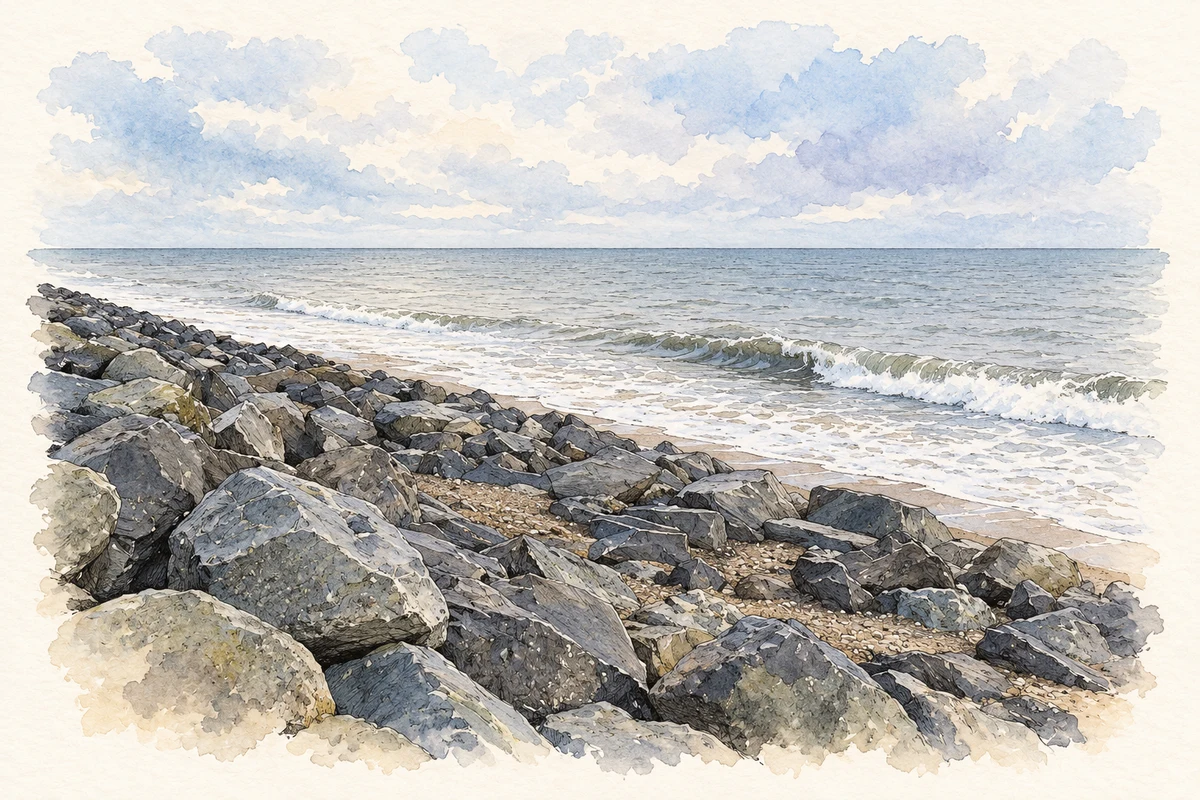
Irish Sea shoreline at Ballydonarea, Kilcoole, County Wicklow illustration: based on a Irish Sea at Ballydonarea by Dean Molyneaux. AI-assisted watercolour and ink adaptation; cream paper margins added, incidental clutter omitted and fine details simplified. Licence: CC BY-SA 2.0.
 placenames