These Irish name elements are associated with this record in the Logainm glossary.
An element’s translation is a clue, rather than a complete explanation of the name. Its form and meaning depend on local history and the full Irish name.
Recorded forms
Ráth Droma· Irish · main form · validated name
Rathdrum· English · main form
Place & story
Measuring the flannel
Earl Fitzwilliam built Rathdrum's Flannel Hall in 1793. Lewis recorded a government-appointed seller, a deputy and eight sworn measurers overseeing the trade. The hall gave woollen production across the district a common marketplace. By 1837, however, Lewis described the industry as greatly diminished. Rooms in the market building had acquired other uses, including a courthouse, Catholic chapel and schools. One building thus accommodated commerce, justice, worship and education as the town's economy changed.[2]
The river and the railway
A corn mill stands beside Rathdrum’s eighteenth-century Avonmore bridge, across from Lowtown’s workers’ houses. The 1860s railway required a viaduct. Fire damaged the Flannel Hall in 1890; its surviving portion became a community centre.[3]
People & connections
Hayes and the Parnells at Avondale
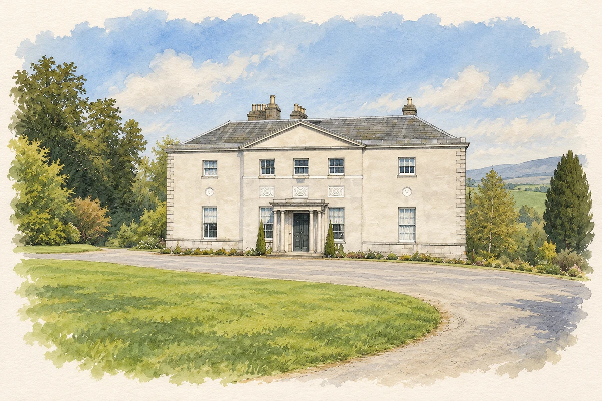
Nearby Avondale House was begun by Samuel Hayes in 1777. His interest in trees transformed the estate through extensive planting. The house later became the Parnell family home, where Charles Stewart Parnell grew up with his siblings, including the politically active Anna and Fanny. Managing Avondale also involved timber, sawmills and an indebted estate. The state acquired the property in 1904 and established a forestry school. The house's later classroom added a practical educational chapter to the landscape Hayes had planted.[4]
Both counts use the 2016 settlement boundary, allowing like-for-like comparison. CSO supplies the 2022 count on this older boundary for comparison only. The official 2022 Built Up Area has different boundaries.
View population figures
Rathdrum — Census 2016 settlement footprint — census population
These are the historical areas published in the 2006 census report. Boundaries may differ between censuses and from modern settlements. Legal towns, environs and suburbs are shown separately; none has been combined into a modern settlement total.
View population figures
Rathdrum, Wicklow — Census town, CSO 2006 report — census population
These are the historical areas published in the 1996 census report. Boundaries may differ between censuses and from modern settlements. Legal towns, environs and suburbs are shown separately; none has been combined into a modern settlement total.
View population figures
Rathdrum, Wicklow — Census town, CSO 1996 report — census population
Figures cover the historical town area printed in the 1986 report. Boundaries may have changed between censuses. Legal town, environs and suburb totals remain separate and differ from modern settlement boundaries.
View population figures
Rathdrum, Wicklow — Census town, CSO 1986 report — census population
These figures use different area definitions. Read the boundary note before comparing them.
Rathdrum, Wicklow
Published census settlement populations
1,663people · 2016
Settlement boundaries changed during this period. Differences may reflect boundary changes as well as population change. Where a 2011 legal-town-and-environs count is shown, it has not been recalculated onto the 2016 settlement boundary.
Avondale House, near Rathdrum, County Wicklow illustration: based on a IMG AvondaleHouse0148 1 by Sarah777. AI-assisted watercolour and ink adaptation; cream paper margins added, incidental clutter omitted and fine details simplified. Licence: Public domain (PD-user).
 placenames