Shillelagh's planned streets and public buildings reflect its relationship with the Fitzwilliam estate. The same estate's surviving records document a much less settled story of rent arrears, eviction and assisted emigration.
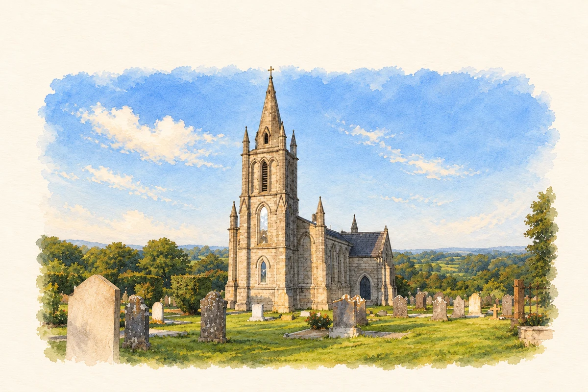
Illustration, Shillelagh Church
⊕Recorded locationShillelagh52.75730° N · 6.53664° WInteractive map supplied by OpenStreetMap.
A reliable full-name meaning has not been established here. The recorded Irish and English forms are given without an unsupported translation.
Recorded forms
Síol Éalaigh· Irish · main form · validated name
Shillelagh· English · main form
Place & story
A village planned for the estate
The Earls Fitzwilliam laid out Shillelagh as an estate village serving nearby Coollattin House and Park. Houses for estate workers and buildings with Tudor-style detailing helped create its distinctive streetscape. A large green forms the village centre. The fountain placed there came from Coollattin's walled garden, bringing a former feature of the private demesne into the shared space of the village. The arrangement reflects the long relationship between the settlement and the estate that developed it.[2]
The families who left
Coolattin's estate office kept detailed records of its tenants, including maps and accompanying lists from 1841–42, rent-arrears and ejectment books, and emigration ledgers. Between 1847 and 1856 the estate operated an assisted-emigration scheme encouraging tenants to move to Canada. The records identify applicants and the holdings they left, while later lists show families who remained. They preserve evidence of a major change in the population of the Shillelagh district during and after the Great Famine, extending beyond the estate's houses and public-building projects.[3]
The church on the rise
Shillelagh's Church of Ireland was built in 1833–34 for a newly established perpetual curacy. The work cost £2,500, including a £900 contribution from the fifth Earl Fitzwilliam. Frances Harriet, Countess Fitzwilliam, later funded the addition of a chancel and transepts and the restoration of the interior. The enlarged church reopened in January 1889. Its communion table was made from local Shillelagh oak in the estate's building yard, a small but direct connection between the church's furnishings and the woodland economy around it.[4]
The Fitzwilliam railway line
A branch railway built between 1863 and 1865 connected Shillelagh with Woodenbridge. The sixth Earl Fitzwilliam donated much of the land, giving rise to its familiar description as the Fitzwilliam Line. Goods traffic was central to its operation, although it also carried passengers connecting with the Dublin–Wexford route. The branch ceased operating in 1945 amid wartime coal shortages. Its history added another form of movement to a district already shaped by estate roads and transatlantic emigration.[2]
Both counts use the 2016 settlement boundary, allowing like-for-like comparison. CSO supplies the 2022 count on this older boundary for comparison only. The official 2022 Built Up Area has different boundaries.
View population figures
Shillelagh — Census 2016 settlement footprint — census population
Shillelagh, Wicklow — Census town, CSO 2006 report
2002–2006: census town
311people · 2006
These are the historical areas published in the 2006 census report. Boundaries may differ between censuses and from modern settlements. Legal towns, environs and suburbs are shown separately; none has been combined into a modern settlement total.
View population figures
Shillelagh, Wicklow — Census town, CSO 2006 report — census population
Shillelagh, Wicklow — Census town, CSO 1996 report
1991–1996: census town
324people · 1996
These are the historical areas published in the 1996 census report. Boundaries may differ between censuses and from modern settlements. Legal towns, environs and suburbs are shown separately; none has been combined into a modern settlement total.
View population figures
Shillelagh, Wicklow — Census town, CSO 1996 report — census population
Shillelagh, Wicklow — Census town, CSO 1986 report
1981–1986: census town
334people · 1986
Figures cover the historical town area printed in the 1986 report. Boundaries may have changed between censuses. Legal town, environs and suburb totals remain separate and differ from modern settlement boundaries.
View population figures
Shillelagh, Wicklow — Census town, CSO 1986 report — census population
These figures use different area definitions. Read the boundary note before comparing them.
Shillelagh, Wicklow
Published census settlement populations
337people · 2016
Settlement boundaries changed during this period. Differences may reflect boundary changes as well as population change. Where a 2011 legal-town-and-environs count is shown, it has not been recalculated onto the 2016 settlement boundary.
 placenames