Stratford-on-Slaney was conceived as a manufacturing settlement; its surviving street pattern and mill remains recall an industrial scale far beyond the later village.
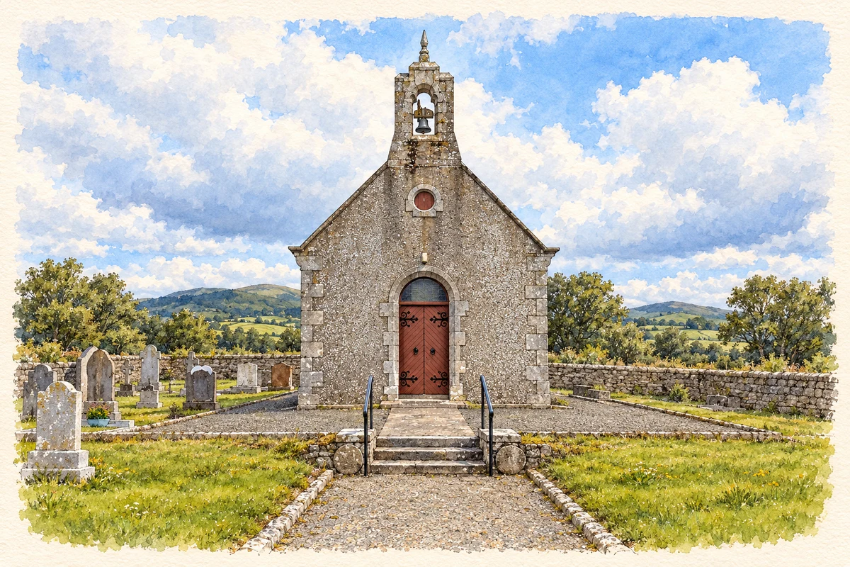
Illustration, St John the Baptist Church, Stratford-on-Slaney
⊕Recorded locationStratford52.98782° N · 6.67489° WInteractive map supplied by OpenStreetMap.
These Irish name elements are associated with this record in the Logainm glossary.
An element’s translation is a clue, rather than a complete explanation of the name. Its form and meaning depend on local history and the full Irish name.
Recorded forms
Áth na Sráide· Irish · main form · validated name
Stratford· English · main form
Place & story
People & connections
Edward Stratford’s manufacturing ambition
Edward Stratford, second Earl of Aldborough, planned a manufacturing town above the River Slaney and gave it his family name. The river offered water power, while road access connected the enterprise with Dublin and its port. West Wicklow Historical Society's research describes a layout inspired by Bath, with crescents, an octagonal square and connecting streets. This was a deliberate attempt to combine housing, public buildings and industrial employment within one newly organised settlement.[2]
Printing linen and cotton
The printing works were operated by manufacturers rather than by Aldborough personally. Smith, Orrs and Company, associated with Paisley in Scotland, developed the enterprise; it employed hundreds of people and produced printed cloth on a substantial scale. The works closed around the middle of the nineteenth century. A fragment of calico associated with the factory was brought to a local history event in 2025, a small material survival from an industry whose buildings largely disappeared.[3]
Reading the surviving village
A historical society walk in 2025 traced the planned streets and reached the factory site beside the Slaney. Enclosing walls and scattered ruins remained. The generous street plan preserves the outline of the intended town even where its workplaces have disappeared.[2]
Both counts use the 2016 settlement boundary, allowing like-for-like comparison. CSO supplies the 2022 count on this older boundary for comparison only. The official 2022 Built Up Area has different boundaries.
View population figures
Stratford — Census 2016 settlement footprint — census population
These are the historical areas published in the 2006 census report. Boundaries may differ between censuses and from modern settlements. Legal towns, environs and suburbs are shown separately; none has been combined into a modern settlement total.
View population figures
Stratford, Wicklow — Census town, CSO 2006 report — census population
These figures use different area definitions. Read the boundary note before comparing them.
Stratford, Wicklow
Published census settlement populations
241people · 2016
Settlement boundaries changed during this period. Differences may reflect boundary changes as well as population change. Where a 2011 legal-town-and-environs count is shown, it has not been recalculated onto the 2016 settlement boundary.
 placenames