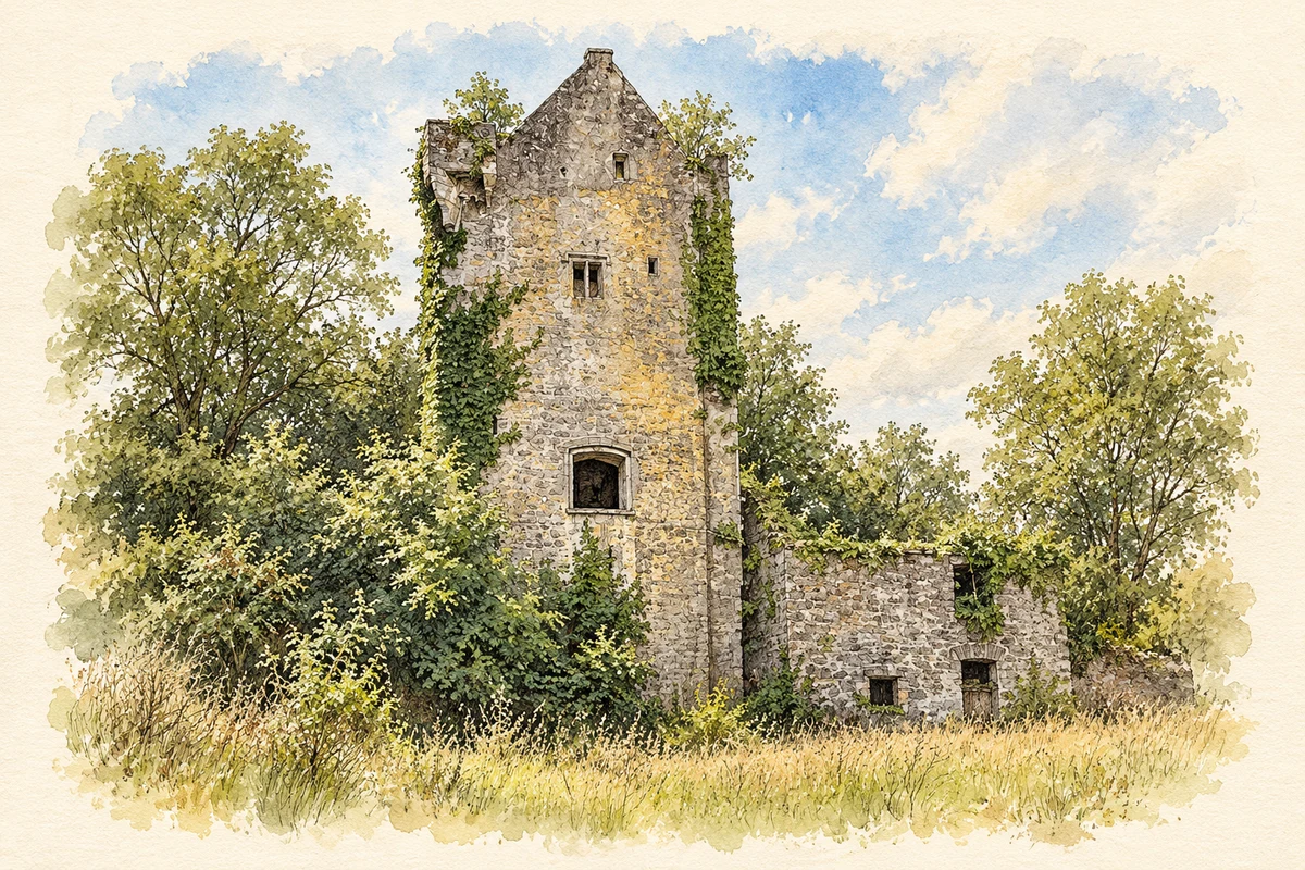
Ballyclogh near Mallow preserves evidence of estate farming and milling beside its medieval castle, along with an elaborate early eighteenth-century burial building.
Illustration, Surviving tower of Ballyclogh Castle
⊕Recorded locationBallyclogh52.16761° N · 8.74148° WInteractive map supplied by OpenStreetMap.
These Irish name elements are associated with this record in the Logainm glossary.
An element’s translation is a clue, rather than a complete explanation of the name. Its form and meaning depend on local history and the full Irish name.
Recorded forms
Baile Cloch· Irish · main form · validated name
Ballyclogh· English · main form
Ballyclough· English · main form · local name
Place & story
A working estate beside the tower
The farmyard beside Ballyclogh's medieval castle dates to around 1800. Its ranges enclosed a courtyard and included upper-floor accommodation or storage, large cart entrances and smaller doorways. The National Inventory of Architectural Heritage notes the workmanship of the stone arches, even though much of the complex is now roofless. These buildings belong to the castle site's later agricultural life and should be distinguished from the much older tower house itself.[2]
People & connections
Thomas Haines and the mill
At the time of Griffith's Valuation, Thomas Haines and Son occupied a house, corn and flour mill and offices at Ballyclogh, together valued at £82. They held the property with four acres from the representatives of C. P. Coote and John Wrixon. The University of Galway's Landed Estates record places the house beside the medieval tower. By 1906 the representatives of Charles P. Coote occupied Ballyclogh. The record connects the site with both landed ownership and the processing of local grain.[3]
The Armstrong mausoleum
A square mausoleum dating to about 1716 stands south of the former Church of Ireland church. Its pitched slate roof, limestone cornice and carefully framed arched entrance give it the appearance of a small formal building. A carved pediment displays the Armstrong coat of arms, while an opening in the floor leads to the tomb beneath. The structure preserves family commemoration in architectural form, using stone detailing usually associated with a much larger residence.[4]
Both counts use the 2016 settlement boundary, allowing like-for-like comparison. CSO supplies the 2022 count on this older boundary for comparison only. The official 2022 Built Up Area has different boundaries.
View population figures
Ballyclogh — Census 2016 settlement footprint — census population
These are the historical areas published in the 2006 census report. Boundaries may differ between censuses and from modern settlements. Legal towns, environs and suburbs are shown separately; none has been combined into a modern settlement total.
View population figures
Ballyclogh, Cork — Census town, CSO 2006 report — census population
These are the historical areas published in the 1996 census report. Boundaries may differ between censuses and from modern settlements. Legal towns, environs and suburbs are shown separately; none has been combined into a modern settlement total.
View population figures
Ballyclogh, Cork — Census town, CSO 1996 report — census population
Figures cover the historical town area printed in the 1986 report. Boundaries may have changed between censuses. Legal town, environs and suburb totals remain separate and differ from modern settlement boundaries.
View population figures
Ballyclogh, Cork — Census town, CSO 1986 report — census population
These figures use different area definitions. Read the boundary note before comparing them.
Ballyclogh, Cork
Published census settlement populations
259people · 2016
Settlement boundaries changed during this period. Differences may reflect boundary changes as well as population change. Where a 2011 legal-town-and-environs count is shown, it has not been recalculated onto the 2016 settlement boundary.
 placenames