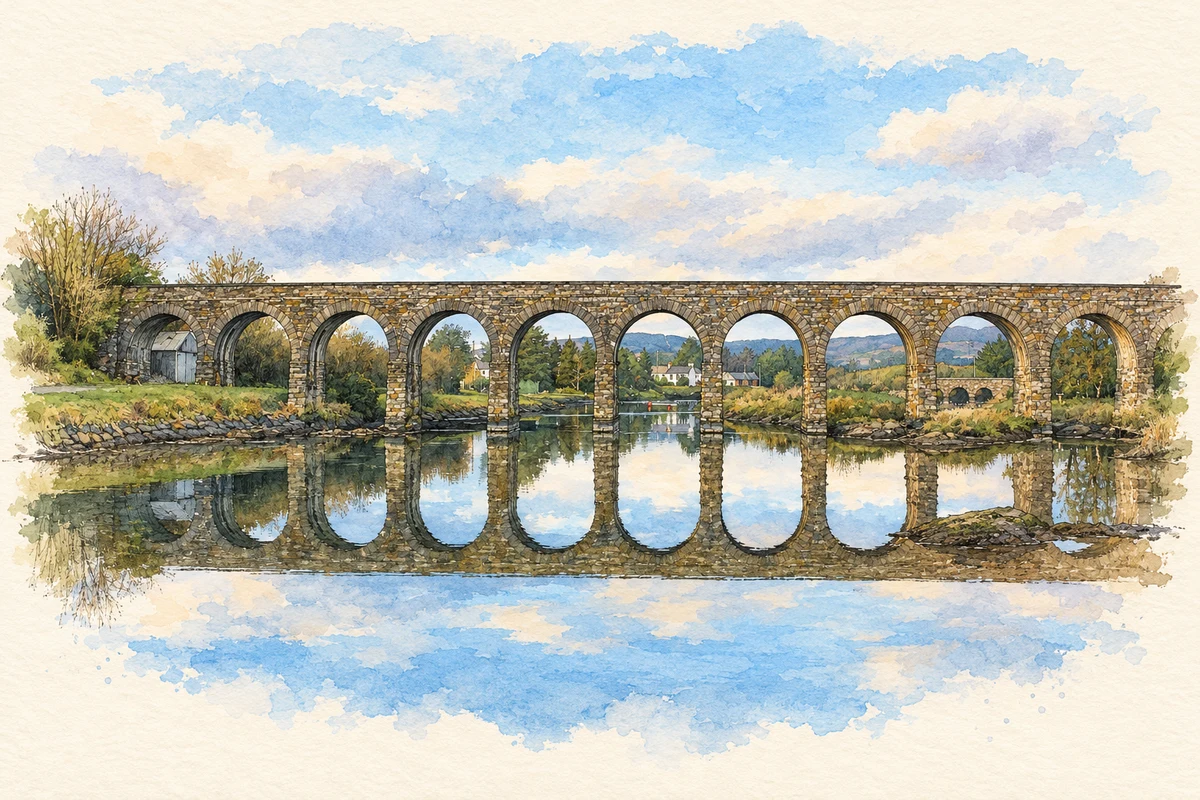
Ballydehob's former railway viaduct curves across its estuary, recalling a village shaped by coastal trade and transport. Its other landmarks include a wrestler's memorial and a museum collecting the work of local artists and craftspeople.
Illustration, Ballydehob Railway Viaduct
⊕Recorded locationBallydehob51.56037° N · 9.46186° WInteractive map supplied by OpenStreetMap.
These Irish name elements are associated with this record in the Logainm glossary.
An element’s translation is a clue, rather than a complete explanation of the name. Its form and meaning depend on local history and the full Irish name.
Recorded forms
Béal an Dá Chab· Irish · main form · validated name
Ballydehob· English · main form
Place & story
A quay for corn and sea-sand
Ballydehob's quay and warehouse were built in the later eighteenth century. Corn went out through the harbour, while sea-sand came ashore for use on the district's acidic soils. In the nineteenth century, trade included lead and copper ores sent to Swansea and timber imported from New Brunswick. Ships returning to Canada also carried emigrants. The quay served the islands of Roaringwater Bay as well: islanders brought produce to sell and collected supplies for their households, linking the village with a wider coastal community.[2]
The twelve-arch viaduct
The viaduct was built in 1886 for the narrow-gauge railway between Skibbereen and Schull. Cork County Council's bridge survey names S. A. Kirby and John William Dorman as its designers. Twelve semicircular arches cross the estuary, with dressed limestone facing and piers whose broad bases increase stability. The survey describes a probable concrete core behind the masonry and cement blocks forming the arches. The bridge's conversion to a walking route preserved a major piece of railway engineering as an accessible part of the village landscape.[3]
People & connections
Danno O'Mahony
Danno O'Mahony was born in 1912 at the family farm in Dreenlomane, outside Ballydehob. He became a celebrated professional wrestler in the 1930s and was known for the throwing technique called the Irish Whip. His career carried him to the United States, where he became a world-title holder, but he maintained his connection with home. He died in 1950 after a road accident during a visit to Ireland. A statue in the village commemorates him, and the Irish Whip bar preserves photographs and memorabilia associated with his life.[4]
Collecting an artistic era
Ballydehob Arts Museum collects work from the arts and crafts community that developed in the district between 1950 and 1990. Its holdings reflect a broad range of practice, including ceramics, painting, illustration, writing, photography, music and dance. Donated pieces form a permanent collection, with exhibitions curated at Bank House. The museum also maintains an archive of artists' biographies and work. It gives an institutional home to a creative community that became a distinctive part of Ballydehob's later twentieth-century history.[5]
Both counts use the 2016 settlement boundary, allowing like-for-like comparison. CSO supplies the 2022 count on this older boundary for comparison only. The official 2022 Built Up Area has different boundaries.
View population figures
Ballydehob — Census 2016 settlement footprint — census population
These are the historical areas published in the 2006 census report. Boundaries may differ between censuses and from modern settlements. Legal towns, environs and suburbs are shown separately; none has been combined into a modern settlement total.
View population figures
Ballydehob, Cork — Census town, CSO 2006 report — census population
These are the historical areas published in the 1996 census report. Boundaries may differ between censuses and from modern settlements. Legal towns, environs and suburbs are shown separately; none has been combined into a modern settlement total.
View population figures
Ballydehob, Cork — Census town, CSO 1996 report — census population
Figures cover the historical town area printed in the 1986 report. Boundaries may have changed between censuses. Legal town, environs and suburb totals remain separate and differ from modern settlement boundaries.
View population figures
Ballydehob, Cork — Census town, CSO 1986 report — census population
These figures use different area definitions. Read the boundary note before comparing them.
Ballydehob, Cork
Published census settlement populations
274people · 2016
Settlement boundaries changed during this period. Differences may reflect boundary changes as well as population change. Where a 2011 legal-town-and-environs count is shown, it has not been recalculated onto the 2016 settlement boundary.
 placenames