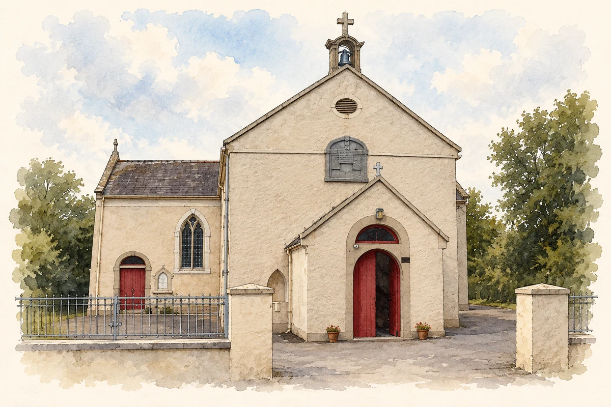
Ballygarvan's nineteenth-century church predates the airport developed nearby. A military witness statement also records the district's quieter role as a refuge during the War of Independence.
Illustration, Church of Mary, Mother of God, Ballygarvan
⊕Recorded locationBallygarvan51.82239° N · 8.46170° WInteractive map supplied by OpenStreetMap.
These Irish name elements are associated with this record in the Logainm glossary.
An element’s translation is a clue, rather than a complete explanation of the name. Its form and meaning depend on local history and the full Irish name.
Recorded forms
Baile Garbháin· Irish · main form · validated name
Ballygarvan· English · main form
Place & story
The church of 1822
The Church of the Holy Mary Mother of God is dated 1822. Its cross-shaped plan places transepts on either side of the nave, with a chancel to the west and an entrance porch facing east. A limestone bellcote rises above the front gable, while crosses finish the roofline. Roughcast walls and slate roofs give the church a restrained appearance. A later sacristy was added at the north-west corner. The building provides a substantial early nineteenth-century landmark within Ballygarvan's village setting.[2]
An overnight refuge outside Cork
In his Bureau of Military History statement, Seán Culhane recalled regularly sleeping in the Ballygarvan district during the latter part of 1920 and in 1921. He named Seán Hegarty, Sando Donovan and Florrie Donoghue among those following the same practice. Culhane was involved in intelligence work for the Cork brigade, with activities centred on the city. His recollection records the connection between urban operations and the surrounding countryside, where men sought places to stay away from their own homes at night.[3]
The airport on the nearby uplands
The selection of the Ballygarvan area for Cork Airport changed the landscape north of the village. Planning in the late 1950s led to the development of runways and terminal facilities for scheduled air travel. Taoiseach Seán Lemass officially opened the airport on 16 October 1961. RTÉ's contemporary report followed passengers arriving from Dublin and recorded the crowds and army band at the ceremony. The airport added an international transport role to an area whose earlier buildings and roads had served a predominantly rural community.[4][5]
Both counts use the 2016 settlement boundary, allowing like-for-like comparison. CSO supplies the 2022 count on this older boundary for comparison only. The official 2022 Built Up Area has different boundaries.
View population figures
Ballygarvan — Census 2016 settlement footprint — census population
These are the historical areas published in the 2006 census report. Boundaries may differ between censuses and from modern settlements. Legal towns, environs and suburbs are shown separately; none has been combined into a modern settlement total.
View population figures
Ballygarvan, Cork — Census town, CSO 2006 report — census population
These figures use different area definitions. Read the boundary note before comparing them.
Ballygarvan, Cork
Published census settlement populations
556people · 2016
Settlement boundaries changed during this period. Differences may reflect boundary changes as well as population change. Where a 2011 legal-town-and-environs count is shown, it has not been recalculated onto the 2016 settlement boundary.
 placenames