Buttevant’s equestrian reputation combines a longstanding horse fair with the remembered race to Doneraile, beside the remains of a medieval Franciscan foundation.
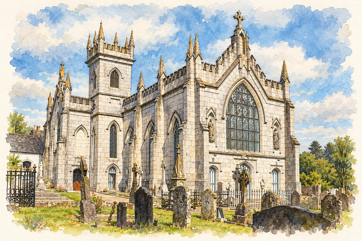
Illustration, St Mary's Church, Buttevant, County Cork
⊕Recorded locationButtevant52.23138° N · 8.67316° WInteractive map supplied by OpenStreetMap.
These Irish name elements are associated with this record in the Logainm glossary.
An element’s translation is a clue, rather than a complete explanation of the name. Its form and meaning depend on local history and the full Irish name.
Recorded forms
Cill na Mallach· Irish · main form · validated name
Buttevant· English · main form
Place & story
A friary within the medieval town
Buttevant's Franciscan friary was founded by David de Barry in 1251 and dedicated to Thomas Becket. The Office of Public Works notes its unusually central position within the walls of the medieval borough. The surviving church stands beside the Awbeg and contains a twin-arched piscina, used for washing sacred vessels, and a crypt beneath the choir. These details preserve aspects of religious practice as well as the building's construction. The friary belongs to the de Barry family's development of the town in the thirteenth century, rather than to its much later reputation for horse trading.[2]
The remembered race of 1752
Edmund Blake and an O'Callaghan are credited with racing from Buttevant church to the steeple at Doneraile in 1752. This cross-country contest became the famous origin account of steeplechasing. The Dictionary of Irish Biography adds an important qualification: the published story depends on a manuscript that was subsequently lost, and later accounts largely repeat it. The Irish Horseracing Regulatory Board also identifies the Buttevant–Doneraile match in its history of the sport. The association is well established, even though colourful details about the wager, dinner and precise obstacles are less securely documented.[3][4]
From Cahirmee’s field to Buttevant’s streets
Cahirmee Horse Fair originally occupied a field between Buttevant and Doneraile. Buttevant's community history records its move into the town's streets in 1921. Its account describes the relationship between the fair and the railway: purchased horses were taken along Station Road for onward transport, while shops and yards filled with traders and visitors. The fair connected the surrounding horse-breeding countryside with buyers from farther afield. It also left a strong local memory of a day when the ordinary street became a marketplace for animals, with trading and social gatherings continuing together.[5]
Both counts use the 2016 settlement boundary, allowing like-for-like comparison. CSO supplies the 2022 count on this older boundary for comparison only. The official 2022 Built Up Area has different boundaries.
View population figures
Buttevant — Census 2016 settlement footprint — census population
These are the historical areas published in the 2006 census report. Boundaries may differ between censuses and from modern settlements. Legal towns, environs and suburbs are shown separately; none has been combined into a modern settlement total.
View population figures
Buttevant, Cork — Census town, CSO 2006 report — census population
These are the historical areas published in the 1996 census report. Boundaries may differ between censuses and from modern settlements. Legal towns, environs and suburbs are shown separately; none has been combined into a modern settlement total.
View population figures
Buttevant, Cork — Census town, CSO 1996 report — census population
Figures cover the historical town area printed in the 1986 report. Boundaries may have changed between censuses. Legal town, environs and suburb totals remain separate and differ from modern settlement boundaries.
View population figures
Buttevant, Cork — Census town, CSO 1986 report — census population
These figures use different area definitions. Read the boundary note before comparing them.
Buttevant, Cork
Published census settlement populations
970people · 2016
Settlement boundaries changed during this period. Differences may reflect boundary changes as well as population change. Where a 2011 legal-town-and-environs count is shown, it has not been recalculated onto the 2016 settlement boundary.
St Mary's Church, Buttevant, County Cork illustration: based on a Buttevant St. Mary's Church SW 2012 09 08.jpg by Andreas F. Borchert. AI-assisted watercolour and ink adaptation; cream paper margins added, incidental clutter omitted and fine details simplified. Licence: CC BY-SA 4.0.
 placenames