These Irish name elements are associated with this record in the Logainm glossary.
An element’s translation is a clue, rather than a complete explanation of the name. Its form and meaning depend on local history and the full Irish name.
Recorded forms
Baile an Teampaill Theas· Irish · main form · validated name
Churchtown· English · main form
Place & story
Ballintemple and its older church
Churchtown South was also known as Ballintemple and, earlier, Ballygourney. A 1913 survey in the Cork Historical and Archaeological Society journal identified it west of Ballycotton and connected it with the parish named in the 1291 papal taxation. The author described a ruined church southwest of the village, measuring about forty-six feet by fourteen feet internally. In 1910 much of its walling remained, while the surrounding burial ground contained numerous eighteenth-century headstones.[2]
Saint Colmcille’s and community restoration
Saint Colmcille’s Catholic church forms part of Cloyne parish. An extensive renovation took place between 1978 and 1985. A stained-glass window in the porch commemorates that work by Muintir na Tíre, while a separate plaque marks the organisation’s golden jubilee, 1937–87. Other windows remember local families. These memorials record the people and community effort involved in maintaining the village’s place of worship.[3]
The nearby coastal lookout
The same 1913 antiquarian survey placed Ballylanders Bay south of Churchtown’s old churchyard and described a watchtower at Ballymaccotter to its east. The tower belonged to the coastal defences developed after the French expedition to Bantry Bay in 1796. The account recorded projecting corner defences and weather slating, and noted that the former military building was then occupied as a house. It provides a historical glimpse of the coast beyond the village.[2]
Both counts use the 2016 settlement boundary, allowing like-for-like comparison. CSO supplies the 2022 count on this older boundary for comparison only. The official 2022 Built Up Area has different boundaries.
View population figures
Churchtown — Census 2016 settlement footprint — census population
These are the historical areas published in the 2006 census report. Boundaries may differ between censuses and from modern settlements. Legal towns, environs and suburbs are shown separately; none has been combined into a modern settlement total.
View population figures
Churchtown, Cork — Census town, CSO 2006 report — census population
These figures use different area definitions. Read the boundary note before comparing them.
Churchtown, Cork
Published census settlement populations
598people · 2016
Settlement boundaries changed during this period. Differences may reflect boundary changes as well as population change. Where a 2011 legal-town-and-environs count is shown, it has not been recalculated onto the 2016 settlement boundary.
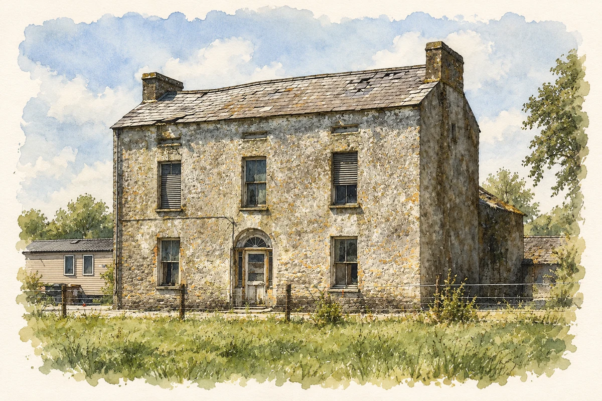
Walshetown House near Churchtown, County Cork illustration: based on a Walshetown House, Churchtown, Co. Cork (1) by Mike Searle. AI-assisted watercolour and ink adaptation; cream paper margins added, incidental clutter omitted and fine details simplified. Licence: CC BY-SA 2.0.
 placenames