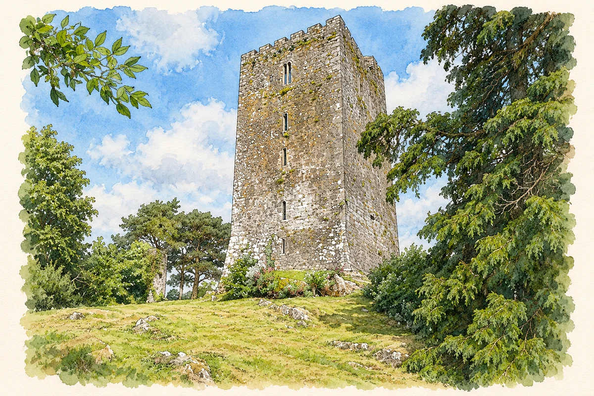
Conna's five-storey castle dominates a limestone outcrop above the village. Its history connects the FitzGerald struggle for Desmond with a local tradition about nearby Gallows Hill.
Illustration, Conna Castle
⊕Recorded locationConna52.09223° N · 8.10701° WInteractive map supplied by OpenStreetMap.
A reliable full-name meaning has not been established here. The recorded Irish and English forms are given without an unsupported translation.
Recorded forms
Conaithe· Irish · main form · validated name
Conna· English · main form
Place & story
The FitzGeralds and the Súgán Earl
The FitzGeralds acquired Conna through a marriage with the Barry family in the 1460s. The castle survey attributes its mid-sixteenth-century tower house to Thomas Ruadh FitzGerald. James FitzGerald, the later Súgán Earl of Desmond, occupied it before his capture and imprisonment in the Tower of London.[2]
Life within a five-storey tower
The castle rises from a steep limestone bluff above the River Bride. Its ground-level doorway led through a lobby to the main chamber and a spiral stair. A surviving hole relates to an outer iron-barred defensive door, known as a yett. Upper chambers contain fireplaces, curved-headed windows and small rooms built within the thickness of the walls. Stone vaults preserve impressions of the wickerwork used during construction. These details show how the tower combined controlled access and defensive strength with accommodation distributed across several floors.[3]
Folklore & tradition
The story attached to Gallows Hill
An anonymous account published in the Illustrated Dublin Journal in 1862 recorded a tradition about Gallows Hill, visible beyond the village from the castle. The writer was told that Cromwell had stationed his forces there, planned executions and fired on the tower with little effect. The account presents these associations as something related to the visitor. It also names the first vaulted chamber the Earl's Room, preserving another local designation attached to the building. Both details show how stories and remembered names shaped nineteenth-century descriptions of the castle landscape.[4]
Both counts use the 2016 settlement boundary, allowing like-for-like comparison. CSO supplies the 2022 count on this older boundary for comparison only. The official 2022 Built Up Area has different boundaries.
View population figures
Conna — Census 2016 settlement footprint — census population
These are the historical areas published in the 2006 census report. Boundaries may differ between censuses and from modern settlements. Legal towns, environs and suburbs are shown separately; none has been combined into a modern settlement total.
View population figures
Conna, Cork — Census town, CSO 2006 report — census population
These are the historical areas published in the 1996 census report. Boundaries may differ between censuses and from modern settlements. Legal towns, environs and suburbs are shown separately; none has been combined into a modern settlement total.
View population figures
Conna, Cork — Census town, CSO 1996 report — census population
Figures cover the historical town area printed in the 1986 report. Boundaries may have changed between censuses. Legal town, environs and suburb totals remain separate and differ from modern settlement boundaries.
View population figures
Conna, Cork — Census town, CSO 1986 report — census population
These figures use different area definitions. Read the boundary note before comparing them.
Conna, Cork
Published census settlement populations
526people · 2016
Settlement boundaries changed during this period. Differences may reflect boundary changes as well as population change. Where a 2011 legal-town-and-environs count is shown, it has not been recalculated onto the 2016 settlement boundary.
 placenames