Dromahane remembers a founder of the United Irishmen, while an early twentieth-century house preserves the architectural details of its former post office.
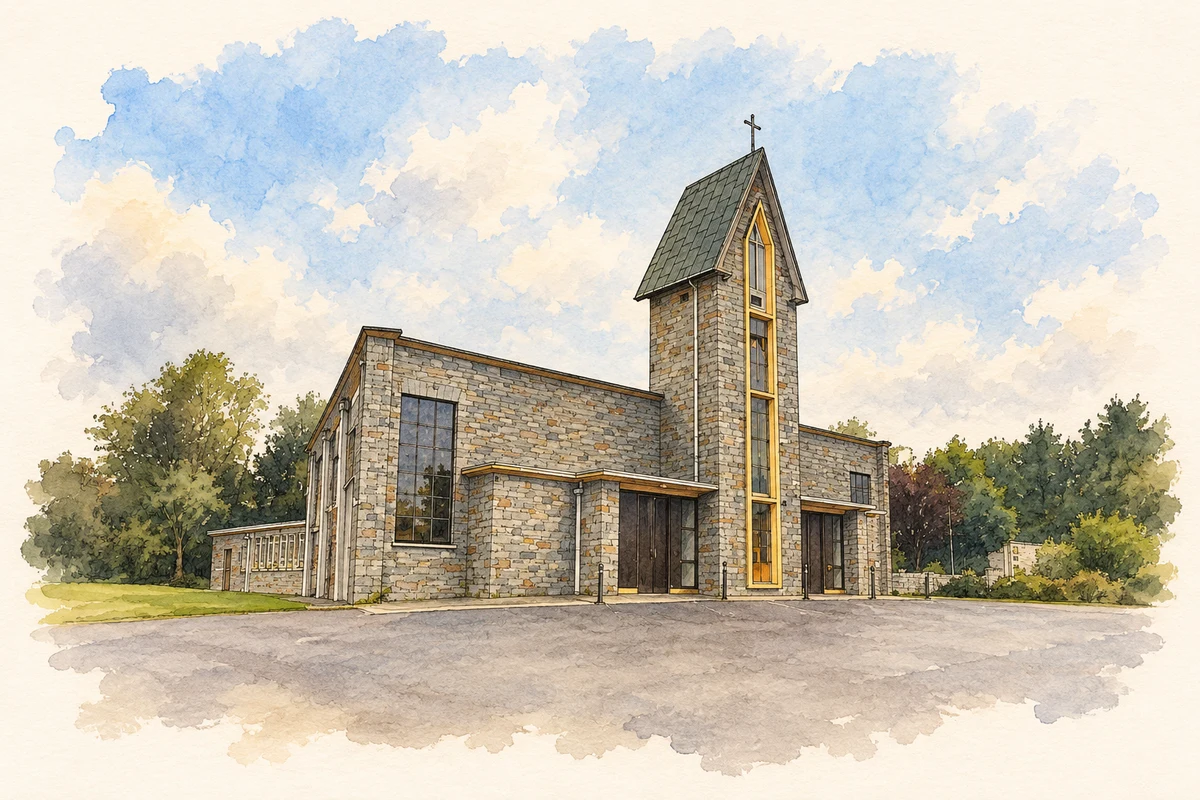
Illustration, St Peter's Church, Drommahane
⊕Recorded locationDrommahane52.10420° N · 8.68989° WInteractive map supplied by OpenStreetMap.
These Irish name elements are associated with this record in the Logainm glossary.
An element’s translation is a clue, rather than a complete explanation of the name. Its form and meaning depend on local history and the full Irish name.
Recorded forms
Drom Átháin· Irish · main form · validated name
Drommahane· English · main form
Place & story
People & connections
Thomas Russell's beginnings
Thomas Russell was born at Dromahane, near Mallow, in 1767. His father John was an army lieutenant who had fought at Dettingen and Fontenoy and later held a post at the Royal Hospital in Kilmainham. Thomas received his early education at home from his father and his sister Margaret. In 1783 he entered the army and went to India, serving during the Mysore wars before returning to Ireland in 1787. These family and military beginnings preceded the political career that made him a leading United Irishman.[2]
The memorial on the Mallow road
A roadside monument north of Dromahane's crossroads commemorates Russell's birth and execution at Downpatrick in 1803. The Irish War Memorials survey records a stone inscription panel standing within a paved enclosure beside the R619. It is dated 1953 and includes an Irish-language dedication and a harp. The memorial gives Russell a physical presence in the village landscape, connecting a birthplace in Cork with the northern political associations for which he became better known. Its surviving inscription records how that connection was publicly remembered in the twentieth century.[3]
Art Nouveau details at the old post office
A house built around 1920 incorporated a single-storey post office alongside its two-storey residential block. The architectural survey records timber sash windows with decorative margins, a coloured-glass fanlight carrying a water-lily design and curved brass door fittings. These small features introduce Art Nouveau decoration into an otherwise practical village building. A decommissioned post box survives in the former office addition. Together, the domestic accommodation and postal fittings preserve evidence of a service that was once part of the everyday streetscape.[4]
Both counts use the 2016 settlement boundary, allowing like-for-like comparison. CSO supplies the 2022 count on this older boundary for comparison only. The official 2022 Built Up Area has different boundaries.
View population figures
Drommahane — Census 2016 settlement footprint — census population
These are the historical areas published in the 2006 census report. Boundaries may differ between censuses and from modern settlements. Legal towns, environs and suburbs are shown separately; none has been combined into a modern settlement total.
View population figures
Drommahane, Cork — Census town, CSO 2006 report — census population
These are the historical areas published in the 1996 census report. Boundaries may differ between censuses and from modern settlements. Legal towns, environs and suburbs are shown separately; none has been combined into a modern settlement total.
View population figures
Drommahane, Cork — Census town, CSO 1996 report — census population
Figures cover the historical town area printed in the 1986 report. Boundaries may have changed between censuses. Legal town, environs and suburb totals remain separate and differ from modern settlement boundaries.
View population figures
Drommahane, Cork — Census town, CSO 1986 report — census population
These figures use different area definitions. Read the boundary note before comparing them.
Drommahane, Cork
Published census settlement populations
959people · 2016
Settlement boundaries changed during this period. Differences may reflect boundary changes as well as population change. Where a 2011 legal-town-and-environs count is shown, it has not been recalculated onto the 2016 settlement boundary.
St Peter's Church, Drommahane illustration: based on a St. Peter's church, Drommahane by Jonathan Thacker. AI-assisted watercolour and ink adaptation; cream paper margins added, incidental clutter omitted and fine details simplified. Licence: CC BY-SA 2.0.
 placenames