Kilcar's textile history runs from yarn and flannel fairs to the revival of handweaving at Studio Donegal. Its former Saint Matthew's Church preserves another, quieter connection with events beyond the parish.
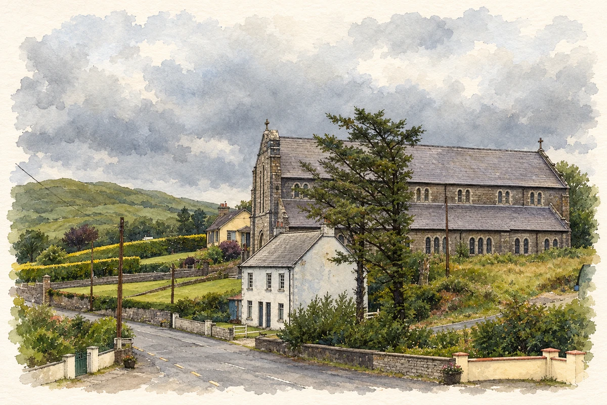
Illustration, St Cartha's Church and parochial house, Kilcar
⊕Recorded locationKilcar54.63257° N · 8.58892° WInteractive map supplied by OpenStreetMap.
These Irish name elements are associated with this record in the Logainm glossary.
An element’s translation is a clue, rather than a complete explanation of the name. Its form and meaning depend on local history and the full Irish name.
Recorded forms
Cill Charthaigh· Irish · main form · validated name
Baile an Droichid· Irish · main form · local name
Kilcar· English · main form
Place & story
Yarn and flannel at the fairs
Textiles were already part of Kilcar's trading life when Samuel Lewis described the parish in 1837. Its quarterly fairs sold cattle, yarn and flannel, bringing products of farm and household industry into the same marketplace. Lewis also recorded a recently built Catholic chapel, the Church of Ireland church erected in 1828, several schools and a dispensary. His account places woollen production within a parish economy that combined cultivation with extensive mountain and bog land.[2]
When power looms replaced handweaving
The mill later known as Studio Donegal began as Round Tower Tweeds in the 1930s. Handweaving continued there into the 1960s before power looms replaced it. By the early 1970s handweaving had ceased. The business adopted the name Connemara Fabrics during a proposed move to Galway; although the move was abandoned, the name remained. Spinning and machine weaving developed in separate purpose-built mills, leaving the older buildings available for a different kind of production.[3]
People & connections
Kevin Donaghy and Michael Cannon restart a craft
In the late 1970s the company established Studio Donegal to revive handweaving. Manager Kevin Donaghy worked with retired foreman Michael Cannon, who returned to develop products and train young weavers. When the parent company decided to wind down the operation in 1987, Kevin and his wife Wendy took it over, buying the handlooms and leasing the old premises. Their intervention kept the craft in Kilcar and provided a basis for the next generation of the family business.[3]
Saint Matthew's and a wartime grave
Saint Matthew's Church was built in 1828 and originally had a three-stage tower with battlements and corner pinnacles. It remained in use until 1964, after which its roof was removed. The surrounding graveyard contains a British soldier recovered after the troopship SS Mohamed Ali el-Kebir was sunk by U-38 off Malin in 1940. His burial connects this quiet parish site with the wider maritime losses of the Second World War. The former rectory at Roxborough forms a related part of the church's historic setting.[4]
Cill Charthaigh — Census 2016 settlement footprint
Population within 2016 settlement boundaries
273people · 2022
Both counts use the 2016 settlement boundary, allowing like-for-like comparison. CSO supplies the 2022 count on this older boundary for comparison only. The official 2022 Built Up Area has different boundaries.
View population figures
Cill Charthaigh — Census 2016 settlement footprint — census population
Cill Charthaigh, Donegal — Census town, CSO 2006 report
2002–2006: census town
232people · 2006
These are the historical areas published in the 2006 census report. Boundaries may differ between censuses and from modern settlements. Legal towns, environs and suburbs are shown separately; none has been combined into a modern settlement total.
View population figures
Cill Charthaigh, Donegal — Census town, CSO 2006 report — census population
Cill Charthaigh, Donegal — Census town, CSO 1996 report
1991–1996: census town
290people · 1996
These are the historical areas published in the 1996 census report. Boundaries may differ between censuses and from modern settlements. Legal towns, environs and suburbs are shown separately; none has been combined into a modern settlement total.
View population figures
Cill Charthaigh, Donegal — Census town, CSO 1996 report — census population
Figures cover the historical town area printed in the 1986 report. Boundaries may have changed between censuses. Legal town, environs and suburb totals remain separate and differ from modern settlement boundaries.
View population figures
Kilcar, Donegal — Census town, CSO 1986 report — census population
These figures use different area definitions. Read the boundary note before comparing them.
Cill Charthaigh, Donegal
Published census settlement populations
258people · 2016
Settlement boundaries changed during this period. Differences may reflect boundary changes as well as population change. Where a 2011 legal-town-and-environs count is shown, it has not been recalculated onto the 2016 settlement boundary.
 placenames