These Irish name elements are associated with this record in the Logainm glossary.
An element’s translation is a clue, rather than a complete explanation of the name. Its form and meaning depend on local history and the full Irish name.
Recorded forms
Mín Lárach· Irish · main form · validated name
Meenlaragh· English · main form
Place & story
A discovery in the turf
In February 1987, a sod of turf containing human hair reached the National Museum after a Gortahork resident noticed it in a delivery. The museum’s burial record, published through Excavations.ie, associates the turf with Meenlaragh, but its precise origin could not be recovered: the delivery combined turf cut from several bogs in the townland. No other remains or objects were found. The record leaves the discovery undated, a small but striking reminder of the material that can survive in peat.[2]
A neighbouring house in the postcard landscape
At nearby Magheraroarty, overlooking Ballyness Bay, a house dating to about 1820 preserves evidence of its former thatched roof. Stone pegs beneath the eaves once secured the ropes holding down the thatch; its outline also survives against an attached outbuilding. The architectural inventory records a sleeping recess projecting at the rear and external steps to the outbuilding’s upper floor. Photographer John Hinde featured the house in a postcard around 1960, linking a practical rural dwelling with the familiar photographic image of Donegal.[3]
Meadows for a migratory bird
Meenlaragh gives its name to one end of the Falcarragh to Meenlaragh Special Protection Area, which includes agricultural grasslands on both sides of Ballyness Bay. The National Parks and Wildlife Service identifies the corncrake as its principal conservation interest. These birds need tall vegetation for cover during the breeding season and use annually harvested meadows for feeding and nesting. The protected landscape therefore includes working farmland, whose seasonal vegetation is central to the bird’s survival here.[4]
Both counts use the 2016 settlement boundary, allowing like-for-like comparison. CSO supplies the 2022 count on this older boundary for comparison only. The official 2022 Built Up Area has different boundaries.
View population figures
Mín Lárach — Census 2016 settlement footprint — census population
Mín Lárach, Donegal — Census town, CSO 2006 report
2002–2006: census town
372people · 2006
These are the historical areas published in the 2006 census report. Boundaries may differ between censuses and from modern settlements. Legal towns, environs and suburbs are shown separately; none has been combined into a modern settlement total.
View population figures
Mín Lárach, Donegal — Census town, CSO 2006 report — census population
Mín Lárach, Donegal — Census town, CSO 1996 report
1991–1996: census town
440people · 1996
These are the historical areas published in the 1996 census report. Boundaries may differ between censuses and from modern settlements. Legal towns, environs and suburbs are shown separately; none has been combined into a modern settlement total.
View population figures
Mín Lárach, Donegal — Census town, CSO 1996 report — census population
Meenlaragh, Donegal — Census town, CSO 1986 report
1981–1986: census town
465people · 1986
Figures cover the historical town area printed in the 1986 report. Boundaries may have changed between censuses. Legal town, environs and suburb totals remain separate and differ from modern settlement boundaries.
View population figures
Meenlaragh, Donegal — Census town, CSO 1986 report — census population
These figures use different area definitions. Read the boundary note before comparing them.
Mín Lárach, Donegal
Published census settlement populations
420people · 2016
Settlement boundaries changed during this period. Differences may reflect boundary changes as well as population change. Where a 2011 legal-town-and-environs count is shown, it has not been recalculated onto the 2016 settlement boundary.
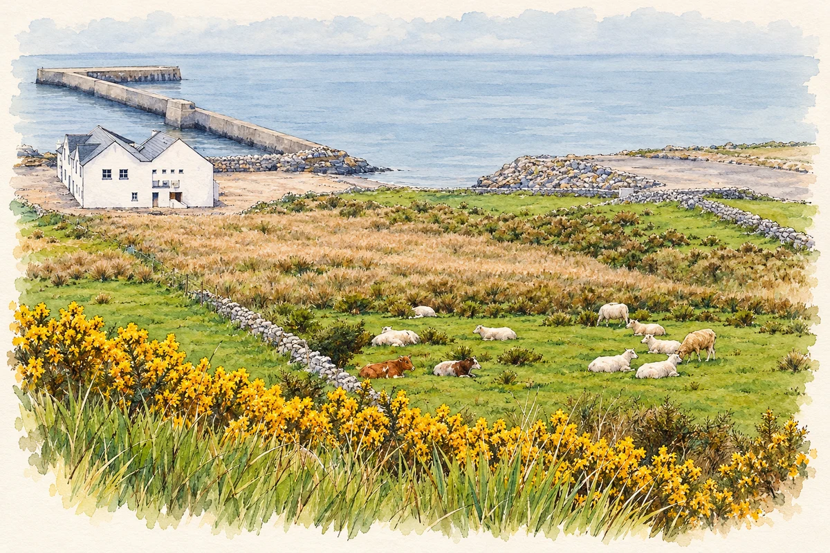
Meenlaragh hillside pasture and pier illustration: based on a Meenlaragh - Hillside and pier by Suzanne Mischyshyn. AI-assisted watercolour and ink adaptation; cream paper margins added, incidental clutter omitted and fine details simplified. Licence: CC BY-SA 2.0.
 placenames