 placenames
Killygordon
Cúil na gCuirridín
Killygordon’s surviving buildings connect a Finn Valley railway crossing with an estate house and the neighbouring church settlement at Crossroads.
The name
These Irish name elements are associated with this record in the Logainm glossary.
An element’s translation is a clue, rather than a complete explanation of the name. Its form and meaning depend on local history and the full Irish name.
Recorded forms
- Cúil na gCuirridín · Irish · main form · validated name
- Killygordon · English · main form
Place & story
The bridge over the former railway
A single-arch road bridge south-east of Killygordon survives above the former railway near the old station. Built around 1863, it served the Finn Valley Railway’s Strabane–Stranorlar route, which opened that September. Its masonry combines grey limestone with red sandstone coping and carefully worked arch stones. Passenger services ended in January 1960, but the bridge remained in use as a road crossing. It is a tangible reminder of the railway infrastructure that once linked the village with the wider Donegal network. [2]
Killygordon House and Weddingtown
The first Ordnance Survey maps of the 1830s label the house’s grounds Killygordan Demesne or Weddingtown. Later editions use Killygordan House. Landed Estates research records Joseph Johnston leasing the property from James Johnston in the 1850s, when it was valued at £20. The house itself originated in the later eighteenth century and was subsequently altered. Its association shifted from the Mansfield family to the Johnstons, giving the village an estate history visible in both valuation records and changing map labels. [3]
Saint Anne’s at nearby Crossroads
Saint Anne’s Church stands in Crossroads, south-west of Killygordon. Built in 1833 as a chapel of ease connected with Saint Patrick’s near Castlefinn, it served a distinct settlement within the same wider parish landscape. The Ordnance Survey Memoirs described the churchyard’s careful planting under curate Robert Delap. Sandstone dressings give detail to the otherwise restrained exterior, while carved timber, memorials and encaustic floor tiles enrich the interior. The churchyard’s varied gravestones add another layer of local social history. [4]
Geographic information
- Place type
- Town
- County
- Donegal
- Barony
- Raphoe South
- Civil parish
- Donaghmore
- Within
- Killygordon
- Coordinates
- 54.79589, -7.68476
- Logainm ID
- 1416615 ↗
Sources & further reading
- Logainm.ie — Killygordon. Place names and geographic record, licensed under CC BY 4.0.
- Killygordon former railway bridge, register 40839012 · National Inventory of Architectural Heritage
- Killygordon House, property 5253 · Landed Estates, University of Galway
- Saint Anne’s Church, Crossroads, register 40839020 · National Inventory of Architectural Heritage
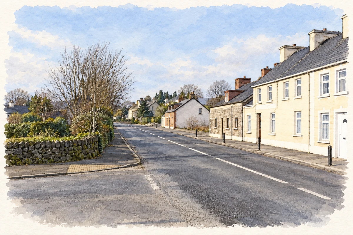
- Village street, Killygordon illustration: based on a Killygordon, County Donegal by Kenneth Allen. AI-assisted watercolour and ink adaptation; cream paper margins added, incidental clutter omitted and fine details simplified. Licence: CC BY-SA 2.0.
Name record retrieved 2026-10-25 · Source record modified 2025-01-10. How this page was prepared.