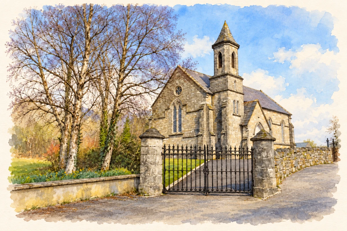
Kilmacrenan's surviving religious ruins preserve evidence of Franciscan patronage, later parish worship and a long association with the inauguration of the O'Donnells.
Illustration, St Finian and St Mark Church of Ireland, Kilmacrenan
⊕Recorded locationKilmacrenan55.02837° N · 7.77581° WInteractive map supplied by OpenStreetMap.
These Irish name elements are associated with this record in the Logainm glossary.
An element’s translation is a clue, rather than a complete explanation of the name. Its form and meaning depend on local history and the full Irish name.
Recorded forms
Cill Mhic Réanáin· Irish · main form · validated name
Kilmacrenan· English · main form
Kilmacrennan· English · main form · local name
Place & story
Manus O'Donnell's friary
The friary east of Kilmacrenan village was founded by Manus O'Donnell for the Franciscan Third Order Regular, probably after 1537. It stands near the meeting of the Lennon and Lurgy rivers. Its surviving church walls formed the focus of conservation work in 2021, when masons repaired the ruins under architectural and archaeological supervision. Fallen masonry was retrieved for reuse. The archaeological report records the south wall, parts of the gables and graves within the former interior, giving a precise account of what remains of the late medieval religious complex.[2]
Folklore & tradition
The rock where chiefs were inaugurated
Samuel Lewis's 1837 account associated nearby Doon Rock with the inauguration of the O'Donnell chiefs. He described priests regarded as descendants of Columba taking part in the ceremony and named Niall Garbh O'Donnell as the last inaugurated there. In Lewis's telling, that final ceremony took place without the lord lieutenant's consent and was followed by the loss of the chief's standing. The tradition connects a conspicuous local rock with sacred ancestry and political authority, giving the wider Kilmacrenan landscape a ceremonial role beyond the friary itself.[3]
The old parish church beside the friary
The adjacent Church of Ireland church was built after 1622 and later altered. Its interior was panelled in 1733, with marble flooring around the altar. A tower was added during the eighteenth century; the architectural survey notes that its masonry does not bond into the earlier hall. The church continued in use until a replacement was built in the village during the 1840s. Demolition left a low rectangular enclosure and part of the tower. These remains belong to a separate parish building, beside the older Franciscan foundation.[4]
Both counts use the 2016 settlement boundary, allowing like-for-like comparison. CSO supplies the 2022 count on this older boundary for comparison only. The official 2022 Built Up Area has different boundaries.
View population figures
Kilmacrennan — Census 2016 settlement footprint — census population
Kilmacrennan, Donegal — Census town, CSO 2006 report
2002–2006: census town
575people · 2006
These are the historical areas published in the 2006 census report. Boundaries may differ between censuses and from modern settlements. Legal towns, environs and suburbs are shown separately; none has been combined into a modern settlement total.
View population figures
Kilmacrennan, Donegal — Census town, CSO 2006 report — census population
Kilmacrennan, Donegal — Census town, CSO 1996 report
1991–1996: census town
363people · 1996
These are the historical areas published in the 1996 census report. Boundaries may differ between censuses and from modern settlements. Legal towns, environs and suburbs are shown separately; none has been combined into a modern settlement total.
View population figures
Kilmacrennan, Donegal — Census town, CSO 1996 report — census population
Kilmacrennan, Donegal — Census town, CSO 1986 report
1981–1986: census town
412people · 1986
Figures cover the historical town area printed in the 1986 report. Boundaries may have changed between censuses. Legal town, environs and suburb totals remain separate and differ from modern settlement boundaries.
View population figures
Kilmacrennan, Donegal — Census town, CSO 1986 report — census population
These figures use different area definitions. Read the boundary note before comparing them.
Kilmacrennan, Donegal
Published census settlement populations
753people · 2016
Settlement boundaries changed during this period. Differences may reflect boundary changes as well as population change. Where a 2011 legal-town-and-environs count is shown, it has not been recalculated onto the 2016 settlement boundary.
 placenames