These Irish name elements are associated with this record in the Logainm glossary.
An element’s translation is a clue, rather than a complete explanation of the name. Its form and meaning depend on local history and the full Irish name.
Recorded forms
Magh· Irish · main form · validated name
Muff· English · main form
Place & story
A church with memorials older than its walls
Muff's Church of Ireland church dates from 1737, with later repairs and alterations recorded by the National Inventory of Architectural Heritage. One memorial commemorates Colonel Henry Hart, who died in 1712, and was moved from an earlier church. It therefore predates the building in which it now stands. Other furnishings mark later generations: the east window commemorates members of the Hart family, while an eagle lectern installed in 1921 remembers the First World War. Together they show a parish carrying older memories into a changing building.[2]
People & connections
A Kilderry letter about Derry’s walls
In October 1823, George Vaughan Hart wrote from Kilderry about the removal of a bastion and a breach in Derry's city walls. His letter, preserved among the Chief Secretary's Office papers in the National Archives, asked the government to intervene. The document gives a specific example of someone living beside Muff taking an interest in the neighbouring city's historic fabric. It also provides a named and dated source for the Kilderry connection, more precise than treating every prominent member of the wider Hart family as a resident of the village.[3]
From constabulary barracks to Garda station
The former police building was constructed around 1880 as a constabulary barracks. The National Inventory of Architectural Heritage records its use by the Garda Síochána from 1923 until 2006, placing one structure across a major change in policing and government. Its slate roof, sash windows and tall yellow-brick chimneys contribute to its distinctive street appearance. The building can be read alongside the church as evidence of successive public institutions in Muff. The inventory's recorded dates describe its historical service, without implying that its condition or use has remained unchanged since the survey.[4]
Both counts use the 2016 settlement boundary, allowing like-for-like comparison. CSO supplies the 2022 count on this older boundary for comparison only. The official 2022 Built Up Area has different boundaries.
View population figures
Muff — Census 2016 settlement footprint — census population
These are the historical areas published in the 2006 census report. Boundaries may differ between censuses and from modern settlements. Legal towns, environs and suburbs are shown separately; none has been combined into a modern settlement total.
View population figures
Muff, Donegal — Census town, CSO 2006 report — census population
These are the historical areas published in the 1996 census report. Boundaries may differ between censuses and from modern settlements. Legal towns, environs and suburbs are shown separately; none has been combined into a modern settlement total.
View population figures
Muff, Donegal — Census town, CSO 1996 report — census population
Figures cover the historical town area printed in the 1986 report. Boundaries may have changed between censuses. Legal town, environs and suburb totals remain separate and differ from modern settlement boundaries.
View population figures
Muff, Donegal — Census town, CSO 1986 report — census population
These figures use different area definitions. Read the boundary note before comparing them.
Muff, Donegal
Published census settlement populations
1,226people · 2016
Settlement boundaries changed during this period. Differences may reflect boundary changes as well as population change. Where a 2011 legal-town-and-environs count is shown, it has not been recalculated onto the 2016 settlement boundary.
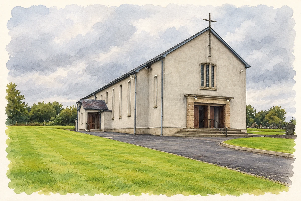
Sacred Heart Church, Muff illustration: based on a Muff RC Church by Kenneth Allen. AI-assisted watercolour and ink adaptation; cream paper margins added, incidental clutter omitted and fine details simplified. Licence: CC BY-SA 2.0.
 placenames