These Irish name elements are associated with this record in the Logainm glossary.
An element’s translation is a clue, rather than a complete explanation of the name. Its form and meaning depend on local history and the full Irish name.
Recorded forms
Ráth Mealtain· Irish · main form · validated name
Rathmelton· English · main form
Ramelton· English · main form · local name
Place & story
A linen port on the Lennon
Ramelton prospered in the eighteenth century as a port serving the linen trade. Its riverfront houses preserve much of the wealth that business brought to the town, even after the industry's nineteenth-century decline. The Mall follows a broad curve beside the Lennon towards the quays, with a terrace of Georgian houses facing the water. From the three-arched bridge, the relationship between the river, streets and commercial waterfront remains particularly clear. The town also served as a meeting place for the county's Grand Jury.[2]
A hall for the whole town
Ramelton Public Hall was built in 1878–79 to provide entertainment and assembly space across religious denominations. Sir James Stewart supplied the site and contributed to the fund, with public subscriptions helping meet the cost. Young and MacKenzie designed a building whose dark stone walls are enlivened by yellow brick, rounded windows and a balcony above the entrance. Its panelled doors, slate roof and ornate gateway preserve the care invested in a civic building intended for shared use.[3]
People & connections
Dave Gallaher's journey to New Zealand
Dave Gallaher was born in Ramelton on 30 October 1873, in a family whose father kept a shop at Market Cross. They emigrated to New Zealand in 1878, settling at Katikati before moving to Auckland. Gallaher became captain of the All Blacks' celebrated 1905–06 touring side. He later served in the First World War and died from wounds in Belgium on 4 October 1917. His birthplace and local memorial connect Ramelton with a sporting career commemorated in both Ireland and New Zealand.[4]
Both counts use the 2016 settlement boundary, allowing like-for-like comparison. CSO supplies the 2022 count on this older boundary for comparison only. The official 2022 Built Up Area has different boundaries.
View population figures
Ramelton — Census 2016 settlement footprint — census population
These are the historical areas published in the 2006 census report. Boundaries may differ between censuses and from modern settlements. Legal towns, environs and suburbs are shown separately; none has been combined into a modern settlement total.
View population figures
Ramelton, Donegal — Census town, CSO 2006 report — census population
These are the historical areas published in the 1996 census report. Boundaries may differ between censuses and from modern settlements. Legal towns, environs and suburbs are shown separately; none has been combined into a modern settlement total.
View population figures
Ramelton, Donegal — Census town, CSO 1996 report — census population
Figures cover the historical town area printed in the 1986 report. Boundaries may have changed between censuses. Legal town, environs and suburb totals remain separate and differ from modern settlement boundaries.
View population figures
Ramelton, Donegal — Census town, CSO 1986 report — census population
These figures use different area definitions. Read the boundary note before comparing them.
Ramelton, Donegal
Published census settlement populations
1,266people · 2016
Settlement boundaries changed during this period. Differences may reflect boundary changes as well as population change. Where a 2011 legal-town-and-environs count is shown, it has not been recalculated onto the 2016 settlement boundary.
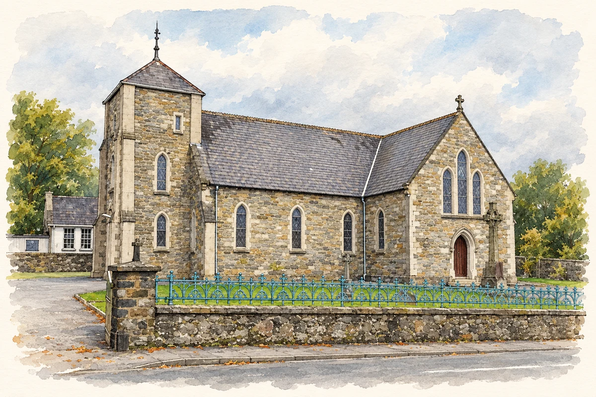
St Mary's Catholic Church, Ramelton, County Donegal illustration: based on a St Mary's RC Church, Ramelton by Kenneth Allen. AI-assisted watercolour and ink adaptation; cream paper margins added, incidental clutter omitted and fine details simplified. Licence: CC BY-SA 2.0.
 placenames