 placenames
Saint Johnstown
Baile Suingean
Often called St Johnston, the village retains a riverside transport history and a Presbyterian church rebuilt after lightning damage.
The name
These Irish name elements are associated with this record in the Logainm glossary.
An element’s translation is a clue, rather than a complete explanation of the name. Its form and meaning depend on local history and the full Irish name.
Recorded forms
- Baile Suingean · Irish · main form · validated name
- Saint Johnstown · English · main form
Place & story
A borough planned around one street
Samuel Lewis’s 1837 account traces Saint Johnstown to a plantation grant requiring the Duke of Lennox to settle English or Scottish artisans. The proposed town was to contain one street of thirteen houses, with land allotted to each. A charter followed in 1618. Lewis observed that the settlement never achieved the scale intended, although its borough continued returning two members to the Irish parliament until the Union. The contrast between planned status and village scale is central to its early history. [2]
The Presbyterian church and its tower
The Presbyterian church was built as a hall in 1849, replacing a smaller meeting house near the main street. Its prominent tower, with corner pinnacles, was added in 1859. Pointed windows, slate roofing and surviving iron-framed glazing give the building its restrained Gothic character. Lightning severely damaged the tower in December 1982. Rebuilt using the original stone, the church reopened for worship in March 1984, preserving a familiar feature of the village skyline. [3]
The railway by the river
A surviving two-span railway bridge near the Foyle records the former route from Derry to Strabane and onward towards Dundalk. The first section opened in April 1847. The present metal-girder bridge dates from about 1880, replacing an earlier timber structure. Its dressed granite pier supports the riveted deck, and the inventory records rails remaining in place after the line closed in 1965. It preserves tangible evidence of a transport connection that once extended well beyond east Donegal. [4]
The Boat-Hole’s cargoes
Railway Road was locally known as the Boat-Hole, where goods were loaded and delivered beside the river. The community history trail recalls sugar beet, cattle and cars among the cargoes handled there. During the Second World War, turf from Donegal was dispatched through the Boat-Hole to destinations elsewhere in Ireland, including Dublin. The same district contained the railway station, bringing waterborne and rail transport into close proximity within a small settlement. [5]
Geographic information
- Place type
- Town
- County
- Donegal
- Barony
- Raphoe North
- Civil parish
- Taughboyne
- Within
- Saint Johnstown
- Coordinates
- 54.93286, -7.46274
- Logainm ID
- 1416625 ↗
Sources & further reading
- Logainm.ie — Saint Johnstown. Place names and geographic record, licensed under CC BY 4.0.
- St Johnston: Lewis’s 1837 historical description · Samuel Lewis, reproduced by Patrick Hugh Gormley, St Johnston and Carrigans community archive
- St Johnstown Presbyterian Church, NIAH 40830002 · National Inventory of Architectural Heritage
- Former railway bridge, NIAH 40830010 · National Inventory of Architectural Heritage
- Contribution to History Leaflet: St Johnston and Carrigans, 2013 · St Johnston and Carrigans community archive
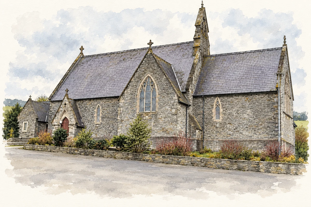
- St Baithin's Church, Saint Johnston, County Donegal illustration: based on a St Baithin's Church RC Church, County Donegal by Kenneth Allen. AI-assisted watercolour and ink adaptation; cream paper margins added, incidental clutter omitted and fine details simplified. Licence: CC BY-SA 2.0.
Name record retrieved 2026-10-25 · Source record modified 2026-09-19. How this page was prepared.