These Irish name elements are associated with this record in the Logainm glossary.
An element’s translation is a clue, rather than a complete explanation of the name. Its form and meaning depend on local history and the full Irish name.
Recorded forms
Baile na hInse· Irish · main form · validated name
Ballynahinch· English · main form
Place & story
Lord Moira’s market house
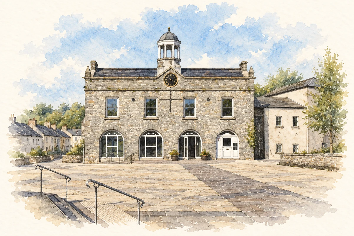
The market house on the north side of the square was built for Lord Moira in 1795. Its upper floor served as a manor court. The listed-building record describes a simple gabled building whose roof originally carried a taller, more open cupola. Alterations in 1957 reduced that feature, while changes to the openings reflect later commercial use.[2]
The council acquired the building in 2010. Its subsequent role as a community venue continues the use of a centrally placed public building for gatherings, although its present arrangements differ from those of the original market and court.[3]
People & connections
Henry Monro’s rebel force
On 13 June 1798 Henry Monro led United Irish forces at Ballynahinch against government troops commanded by General George Nugent. PRONI preserves George Stephenson’s eyewitness letter to the Marquess of Downshire. The archival description places the engagement within the United Irishmen’s attempt to establish a republican revolution and records the defeat and reprisals that followed.[4]
News and destruction
A separate letter from Thomas Whinnery at Belfast’s post office, written on the afternoon of the battle, reported the rebel defeat. The National Archives’ edition places it beside Nugent’s earlier threat of severe punishment for resistance. Its commentary records the destruction of Ballynahinch, Saintfield and neighbouring homes and farms. The battle’s consequences therefore extended beyond the fighting ground into the fabric of the town.[5]
Both censuses use the same 2015 settlement boundary. These exact counts cover usual residents in the settlement, rather than local government districts or historic counties. Other NISRA tables may use approximate counts.
View population figures
BALLYNAHINCH — Settlement 2015 (N11000263) — census population
These are the town figures printed in the historical census reports, separate from the surrounding rural district and modern settlement. Some historical towns had no fixed boundary; a consistent footprint across years is not assumed.
View population figures
Ballynahinch — historical census town — census population
Ballynahinch — census rectangle J350510 to J380540
Earlier census population, 1981–1991
5,196people · 1991
The census used a grid rectangle around the built-up area, rather than today’s settlement boundary. The 1981 figures are as enumerated, without adjustment for non-enumeration. These counts remain separate from later settlement totals.
View population figures
Ballynahinch — census rectangle J350510 to J380540 — census population
The published 2001 KS01 settlement count uses an earlier geography and disclosure-control methods. It is not rebased to the 2015 settlement used for 2011 and 2021. The geographic matching file can contain a different 2001 count; the figure shown here comes from KS01.
View population figures
Ballynahinch — KS01 Settlement (2005 geography) — census population
Market House, Ballynahinch, County Down illustration: based on a Market House and Market Square at Ballynahinch by Eric Jones. AI-assisted watercolour and ink adaptation; cream paper margins added, incidental clutter omitted and fine details simplified. Licence: CC BY-SA 2.0.
 placenames