These Irish name elements are associated with this record in the Logainm glossary.
An element’s translation is a clue, rather than a complete explanation of the name. Its form and meaning depend on local history and the full Irish name.
Recorded forms
Maighean Rátha· Irish · main form · validated name
Mountrath· English · main form
Place & story
People & connections
Sir Charles Coote's new settlement
Sir Charles Coote laid out Mountrath in the early seventeenth century. In 1628 he secured a grant of two weekly markets and two annual fairs. He also established linen and fustian manufacture, but warfare in 1641 destroyed the works and much other property. His son recovered the estate and became Earl of Mountrath at the Restoration. Lewis's account records both the commercial ambitions behind the settlement and the violence that interrupted them.[2]
Manufacturing beside the river
Mountrath grew substantially during the eighteenth century and became an important industrial town in the early nineteenth. Breweries, tanneries and a cotton-spinning factory owned by the Quaker Bewley family formed part of its economy. Its compact streets retain a close relationship with the Whitehorse River. The planned Market Square remains a particularly distinctive element, with buildings of different heights and periods opening onto the space where trade helped sustain the town.[3][5]
The Quaker graveyard and river walk
Recent restoration has brought renewed attention to the Quakers' Graveyard entrance and the river corridor. The council's completed scheme included entrance repairs, interpretation, landscaping and public art at the burial ground, together with improvements to the pedestrian route beside the Whitehorse. A native-tree trail and planting accompany the path. These works reconnect two elements of Mountrath's history: its Quaker community and the river around which its industrial streets developed.[4]
Both counts use the 2016 settlement boundary, allowing like-for-like comparison. CSO supplies the 2022 count on this older boundary for comparison only. The official 2022 Built Up Area has different boundaries.
View population figures
Mountrath — Census 2016 settlement footprint — census population
These are the historical areas published in the 2006 census report. Boundaries may differ between censuses and from modern settlements. Legal towns, environs and suburbs are shown separately; none has been combined into a modern settlement total.
View population figures
Mountrath, Laois — Census town, CSO 2006 report — census population
These are the historical areas published in the 1996 census report. Boundaries may differ between censuses and from modern settlements. Legal towns, environs and suburbs are shown separately; none has been combined into a modern settlement total.
View population figures
Mountrath, Laois — Census town, CSO 1996 report — census population
Figures cover the historical town area printed in the 1986 report. Boundaries may have changed between censuses. Legal town, environs and suburb totals remain separate and differ from modern settlement boundaries.
View population figures
Mountrath, Laois — Census town, CSO 1986 report — census population
These figures use different area definitions. Read the boundary note before comparing them.
Mountrath, Laois
Published census settlement populations
1,774people · 2016
Settlement boundaries changed during this period. Differences may reflect boundary changes as well as population change. Where a 2011 legal-town-and-environs count is shown, it has not been recalculated onto the 2016 settlement boundary.
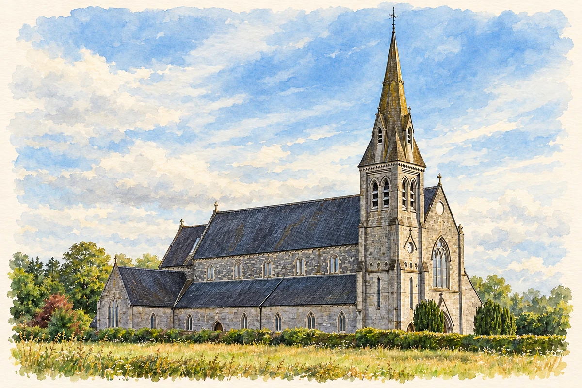
St Fintan's Church, Mountrath, County Laois illustration: based on a Mountrath - St Fintan's Church - 20210628191132.jpg by LoriStrang. AI-assisted watercolour and ink adaptation; cream paper margins added, incidental clutter omitted and fine details simplified. Licence: CC BY-SA 4.0.
 placenames