These Irish name elements are associated with this record in the Logainm glossary.
An element’s translation is a clue, rather than a complete explanation of the name. Its form and meaning depend on local history and the full Irish name.
Recorded forms
Cluain na Slí· Irish · main form · validated name
Clonaslee· English · main form
Place & story
Roads and the Dunne estate
The Dunne family helped shape Clonaslee through building and patronage, while the road through the village connected it with a wider trading network. Laois County Library's local history records a thatched Catholic chapel built with Francis Dunne's support in 1771. The Mountmellick–Birr road's development in 1814 brought another period of growth, accompanied by a post office, police station and administrative buildings. The village's planned streets therefore reflect both its relationship with Brittas and the practical importance of a route across this part of the county.[2]
The nineteenth-century Brittas Castle
Major-General Francis Plunkett Dunne commissioned a neo-Gothic mansion at Brittas in 1869, designed by John McCurdy. Millar and Symes extended it a decade later. This was a Victorian country house, following earlier Dunne residences on the estate. A fire on 25 June 1942 destroyed the mansion despite the attendance of the Tullamore fire brigade. The library's account preserves drawings and photographs of its former appearance, allowing the elaborate inhabited house to be understood alongside the much reduced remains familiar today.[3]
Folklore & tradition
Saint Manman’s August gathering
Local tradition associates Saint Manman with an early church at Kilmanman, north-west of Clonaslee. The surviving church belongs to a much later medieval phase. A well nearby became a focus for pilgrimage on the saint's pattern day, 5 August. A community conservation project recorded in 2019 described the annual observance and an ecumenical service at the churchyard. The saint's foundation story, the later masonry and the continuing gathering belong to different periods of the same sacred landscape, rather than to one securely dated building episode.[4][5]
Both counts use the 2016 settlement boundary, allowing like-for-like comparison. CSO supplies the 2022 count on this older boundary for comparison only. The official 2022 Built Up Area has different boundaries.
View population figures
Clonaslee — Census 2016 settlement footprint — census population
These are the historical areas published in the 2006 census report. Boundaries may differ between censuses and from modern settlements. Legal towns, environs and suburbs are shown separately; none has been combined into a modern settlement total.
View population figures
Clonaslee, Laois — Census town, CSO 2006 report — census population
These are the historical areas published in the 1996 census report. Boundaries may differ between censuses and from modern settlements. Legal towns, environs and suburbs are shown separately; none has been combined into a modern settlement total.
View population figures
Clonaslee, Laois — Census town, CSO 1996 report — census population
Figures cover the historical town area printed in the 1986 report. Boundaries may have changed between censuses. Legal town, environs and suburb totals remain separate and differ from modern settlement boundaries.
View population figures
Clonaslee, Laois — Census town, CSO 1986 report — census population
These figures use different area definitions. Read the boundary note before comparing them.
Clonaslee, Laois
Published census settlement populations
566people · 2016
Settlement boundaries changed during this period. Differences may reflect boundary changes as well as population change. Where a 2011 legal-town-and-environs count is shown, it has not been recalculated onto the 2016 settlement boundary.
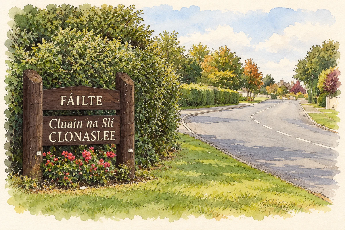
Village welcome sign, Clonaslee illustration: based on a IMG Clonaslee3232c by Sarah777. AI-assisted watercolour and ink adaptation; cream paper margins added, incidental clutter omitted and fine details simplified. Licence: Public domain.
 placenames