Durrow’s square and estate buildings preserve a long history of markets, country-house patronage and craftsmanship, with an important historic organ in St Fintan’s church.
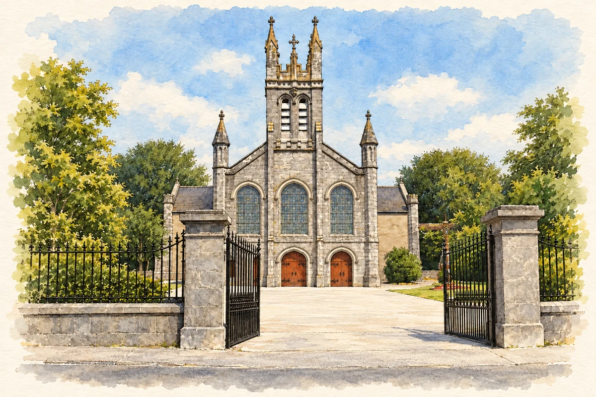
Illustration, Holy Trinity Church, Durrow, County Laois
⊕Recorded locationDurrow52.84395° N · 7.39482° WInteractive map supplied by OpenStreetMap.
A reliable full-name meaning has not been established here. The recorded Irish and English forms are given without an unsupported translation.
Recorded forms
Darú· Irish · main form · validated name
Durrow· English · main form
Place & story
A borough beside the Erkina
Henry III granted Durrow an annual fair and Thursday market in 1245. Later, the Flower family shaped its streets, while milling, brewing, malting and brickmaking supported trade.[2]
A country house that changed with its owners
Castle Durrow is a large early eighteenth-century house in the Queen Anne manner, with its design attributed to Benjamin Crawley. The National Inventory of Architectural Heritage records a nine-bay main front, a basement, attic accommodation and lateral wings. The house was enlarged and altered rather than completed in one unchanging campaign. Its later uses also differed from the family's original residence: it served as a convent and school between 1929 and 1987. Those changes are part of its history, alongside the estate's influence on the surrounding town.[3]
Samuel Green’s organ in St Fintan’s
St Fintan's Church contains an eighteenth-century organ by the English maker Samuel Green. The Church of Ireland's Gloine survey identifies the instrument as an important feature of the estate church and records James Franklin Fuller's work on the east window opening in 1906. The building occupies an older ecclesiastical site beside Castle Durrow. Its musical and stained-glass heritage adds another dimension to the town's architectural story: individual furnishings and alterations can preserve the work of named craftsmen long after the patrons who commissioned or acquired them have gone.[4]
Both counts use the 2016 settlement boundary, allowing like-for-like comparison. CSO supplies the 2022 count on this older boundary for comparison only. The official 2022 Built Up Area has different boundaries.
View population figures
Durrow — Census 2016 settlement footprint — census population
These are the historical areas published in the 2006 census report. Boundaries may differ between censuses and from modern settlements. Legal towns, environs and suburbs are shown separately; none has been combined into a modern settlement total.
View population figures
Durrow, Laois — Census town, CSO 2006 report — census population
These are the historical areas published in the 1996 census report. Boundaries may differ between censuses and from modern settlements. Legal towns, environs and suburbs are shown separately; none has been combined into a modern settlement total.
View population figures
Durrow, Laois — Census town, CSO 1996 report — census population
Figures cover the historical town area printed in the 1986 report. Boundaries may have changed between censuses. Legal town, environs and suburb totals remain separate and differ from modern settlement boundaries.
View population figures
Durrow, Laois — Census town, CSO 1986 report — census population
These figures use different area definitions. Read the boundary note before comparing them.
Durrow, Laois
Published census settlement populations
835people · 2016
Settlement boundaries changed during this period. Differences may reflect boundary changes as well as population change. Where a 2011 legal-town-and-environs count is shown, it has not been recalculated onto the 2016 settlement boundary.
Holy Trinity Church, Durrow, County Laois illustration: based on a Holy Trinity Church, Durrow by Darrin Antrobus. AI-assisted watercolour and ink adaptation; cream paper margins added, incidental clutter omitted and fine details simplified. Licence: CC BY-SA 2.0.
 placenames