These Irish name elements are associated with this record in the Logainm glossary.
An element’s translation is a clue, rather than a complete explanation of the name. Its form and meaning depend on local history and the full Irish name.
Recorded forms
Ráth Domhnaigh· Irish · main form · validated name
Rathdowney· English · main form
Place & story
From milling to brewing
Laois County Council's industrial survey describes Robert Perry converting a flour mill beside a tributary of the Erkina into a brewery in the early nineteenth century. The mill's machinery then ground malt instead of flour. The brewery survived the Famine and expanded later in the century, when a six-storey malt house and adjoining kiln stood beside the mill pond. A historic photograph reproduced in the survey also shows Eastholme, built in 1870 as John Perry's residence. Factory, water supply and family house formed a substantial industrial group within the town.[2]
People & connections
Barley, bottles and a final circular
The local studies account of Perry's brewery records maltings at Donaghmore, Brosna and Roscrea, supplying a business that used Irish barley. Robert Perry and Son became a limited company in 1877 and held a royal warrant as brewers to Queen Victoria. By 1965 its workforce included brewery and maltings workers, office staff and drivers; W. St. J. Mitchell was the brewer. A circular dated 30 September 1966 announced that brewing and malting would cease in October and directed future ale orders to Smithwick's in Kilkenny. The site subsequently became a meat-processing works.[3]
The shape of the market centre
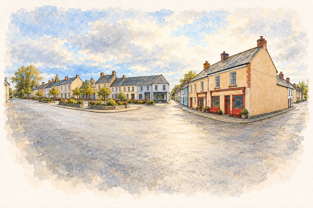
Rathdowney's compact centre is organised around Market Square and Main Street. The county development plan identifies its characteristic buildings as mainly nineteenth-century, two-storey properties, with older plot patterns surviving behind the street frontages. Later residential growth extended along the approach roads, while the centre retained that earlier scale. This street pattern gives another way to understand the brewery-era town: houses, shops and yards occupied relatively narrow frontages beside a much larger industrial employer. The Erkina and the crossing roads also locate the town within the surrounding agricultural district.[4]
Both counts use the 2016 settlement boundary, allowing like-for-like comparison. CSO supplies the 2022 count on this older boundary for comparison only. The official 2022 Built Up Area has different boundaries.
View population figures
Rathdowney — Census 2016 settlement footprint — census population
These are the historical areas published in the 2006 census report. Boundaries may differ between censuses and from modern settlements. Legal towns, environs and suburbs are shown separately; none has been combined into a modern settlement total.
View population figures
Rathdowney, Laois — Census town, CSO 2006 report — census population
These are the historical areas published in the 1996 census report. Boundaries may differ between censuses and from modern settlements. Legal towns, environs and suburbs are shown separately; none has been combined into a modern settlement total.
View population figures
Rathdowney, Laois — Census town, CSO 1996 report — census population
Figures cover the historical town area printed in the 1986 report. Boundaries may have changed between censuses. Legal town, environs and suburb totals remain separate and differ from modern settlement boundaries.
View population figures
Rathdowney, Laois — Census town, CSO 1986 report — census population
These figures use different area definitions. Read the boundary note before comparing them.
Rathdowney, Laois
Published census settlement populations
1,271people · 2016
Settlement boundaries changed during this period. Differences may reflect boundary changes as well as population change. Where a 2011 legal-town-and-environs count is shown, it has not been recalculated onto the 2016 settlement boundary.
Rathdowney Market Square junction illustration: based on a Rathdowney Panorama (Church St, Ossory St, Main St) by Pauly3. AI-assisted watercolour and ink adaptation; cream paper margins added, incidental clutter omitted and fine details simplified. Licence: CC BY-SA 4.0.
 placenames