These Irish name elements are associated with this record in the Logainm glossary.
An element’s translation is a clue, rather than a complete explanation of the name. Its form and meaning depend on local history and the full Irish name.
Recorded forms
Maigh Arnaí· Irish · main form · validated name
Adamstown· English · main form
Place & story
A farming parish on the road
Samuel Lewis's 1837 directory records Adamstown as Murnevan, in Bantry barony, on the route between New Ross and Enniscorthy. His population of 1,857 covers a parish of nearly eight thousand statute acres. He describes gently rising farmland, improving tillage and limestone brought from New Ross for agricultural use. The nearby rocky hill of Carrigburn provided a conspicuous contrast to this cultivated ground.[2]
People & connections
Nicholas Devereux and Katherine
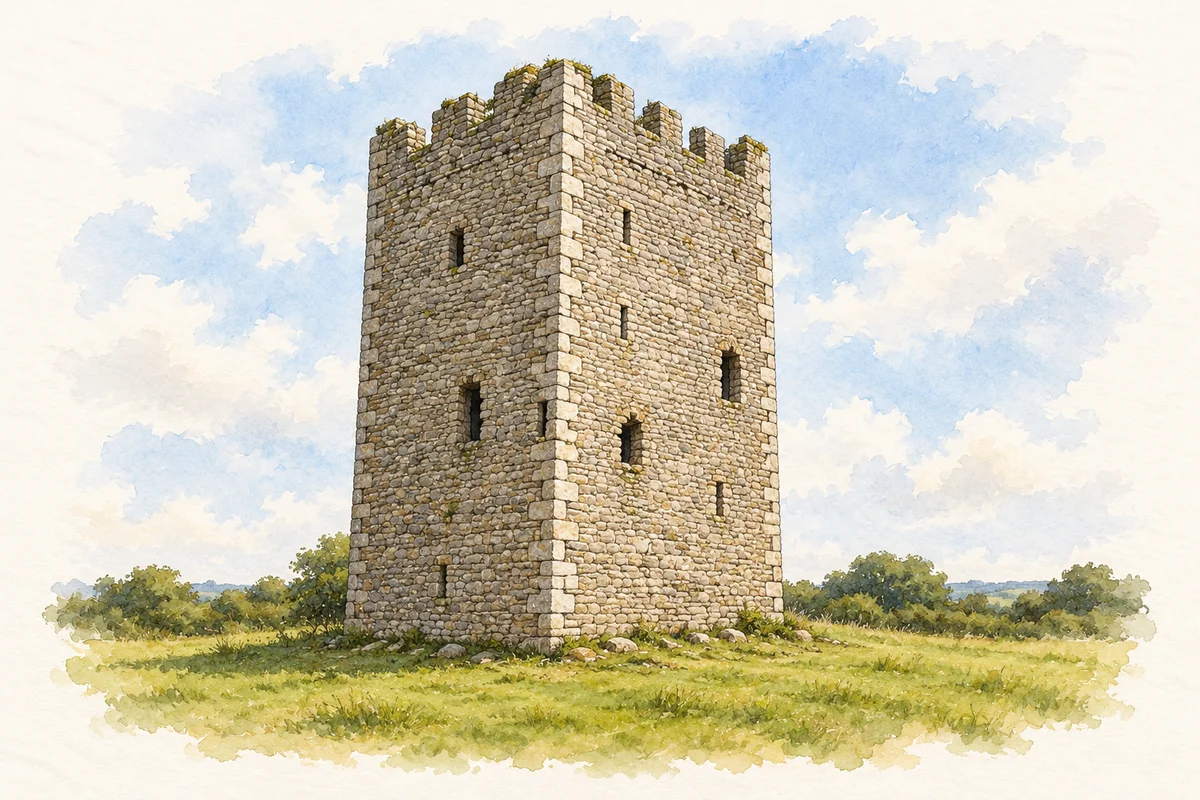
The castle gives the locality a particularly precise sixteenth-century connection. Lewis read an inscription above its gateway naming Nicholas Devereux and his wife Katherine and dating their building to 1556. He describes a square tower inside a high-walled quadrangle with turrets at its corners. The inscription also distinguishes this phase from earlier claims about the settlement's origins.[2]
A church built by subscription
Saint Abban's Catholic Church is another substantial local landmark. The National Inventory of Architectural Heritage dates it to 1835, recording a five-bay church with a three-stage entrance tower. Its history includes improvements in 1840, damage in 1872 and repairs the following year. Lewis, writing shortly after construction, describes a spacious chapel funded by local subscriptions and a tower fifty-six feet high. The surviving building belongs to that nineteenth-century campaign, even though its dedication recalls a much older religious association.[2][3]
The older name and a wider parish
The parish's own historical account preserves the earlier forms Magheranevin and Murnevin and connects the Adamstown name with the Devereux family. It also identifies Nicholas Sweetman, later Bishop of Ferns, as born at Collop's Well within the parish. This is a parish connection, not a claim of birth on the village street. The same account explains that the Catholic parish combines Adamstown, Newbawn and Raheen and that Cullenstown and neighbouring townlands were transferred to Clongeen in 1850. Those changes help explain why the village, civil parish and Catholic parish do not describe identical areas.[4]
Both counts use the 2016 settlement boundary, allowing like-for-like comparison. CSO supplies the 2022 count on this older boundary for comparison only. The official 2022 Built Up Area has different boundaries.
View population figures
Adamstown — Census 2016 settlement footprint — census population
These are the historical areas published in the 2006 census report. Boundaries may differ between censuses and from modern settlements. Legal towns, environs and suburbs are shown separately; none has been combined into a modern settlement total.
View population figures
Adamstown, Wexford — Census town, CSO 2006 report — census population
These figures use different area definitions. Read the boundary note before comparing them.
Adamstown, Wexford
Published census settlement populations
293people · 2016
Settlement boundaries changed during this period. Differences may reflect boundary changes as well as population change. Where a 2011 legal-town-and-environs count is shown, it has not been recalculated onto the 2016 settlement boundary.
Adamstown Castle tower illustration: based on a reference photograph by Mike Searle. AI interpretive reconstruction of missing fabric; roofline and openings uncertain. Watercolour and ink adaptation. Licence: CC BY-SA 2.0.
 placenames