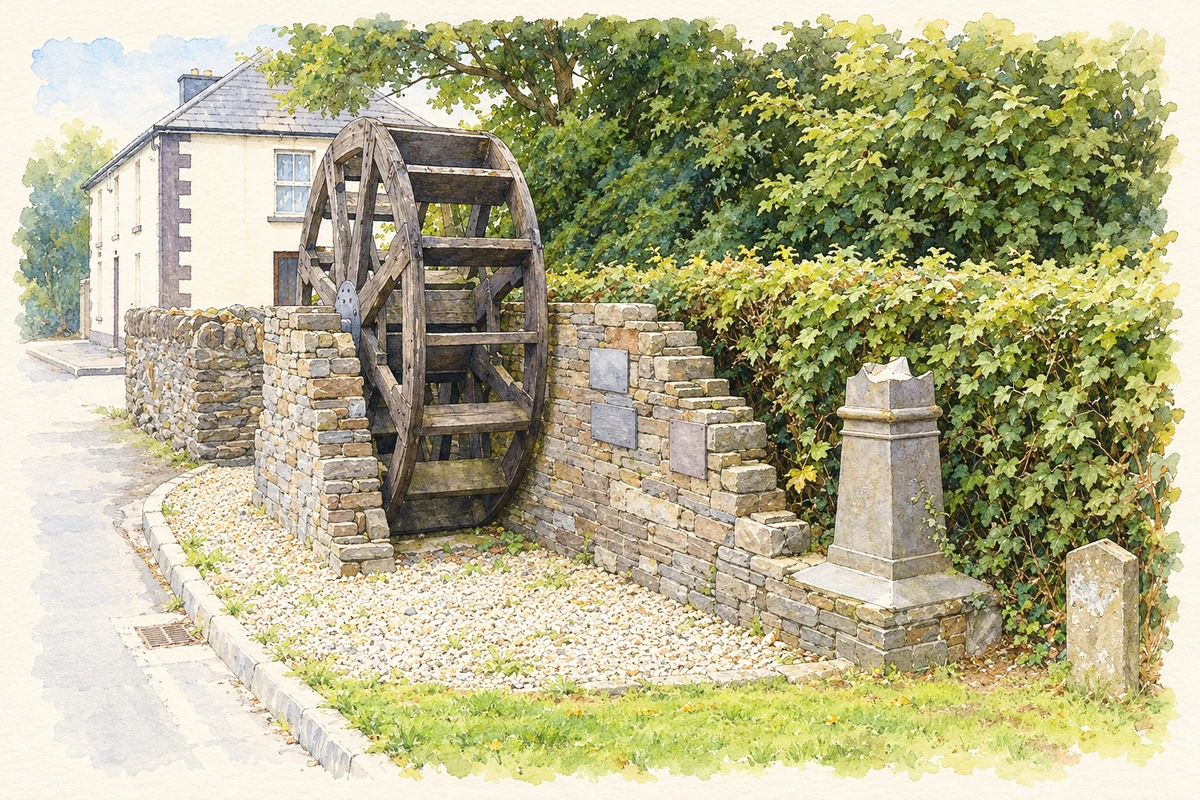
Ballycanew’s riverside setting supported a working village whose nineteenth-century directory records crafts, markets and schools alongside its churches.
Illustration, Waterwheel display, Ballycanew
⊕Recorded locationBallycanew52.60960° N · 6.30489° WInteractive map supplied by OpenStreetMap.
These Irish name elements are associated with this record in the Logainm glossary.
An element’s translation is a clue, rather than a complete explanation of the name. Its form and meaning depend on local history and the full Irish name.
Recorded forms
Baile Uí Chonnmhaí· Irish · main form · validated name
Ballycanew· English · main form
Place & story
Work beside the Ounavarra
George Henry Bassett's 1885 directory describes Ballycanew sloping towards the Ounavarra River, with a grist mill and small tannery providing employment. His business list names Henry Furney as miller and Mrs Bass as tanner, alongside bakers, a butcher and coachbuilders J. Kavanagh and Sons. A poultry market took place on Wednesdays, with five fairs during the year. This contemporary account gives a more detailed picture of village livelihoods than a general description of Ballycanew as an agricultural settlement.[2]
Saint Mogue’s changing fabric
Saint Mogue's Church of Ireland church has a T-shaped plan, transepts and a granite bellcote above its entrance. The architectural inventory assigns it to the eighteenth century and records restoration in 1891–92. It also quotes an 1837 ecclesiastical report that could not establish the date or cost of the original building. That uncertainty is worth retaining alongside the inventory's approximate dating. The church's monuments, joinery and altered windows record successive periods of worship and repair within the same village landmark.[3]
A school at the street corner
The former national school is dated 1882 and occupies a corner site in Ballycanew. Its pointed windows, decorative bargeboards and steep roof give a small schoolhouse an elaborate Gothic appearance. The architectural survey records later use as a hall and renovation in 2004.[4]
Both counts use the 2016 settlement boundary, allowing like-for-like comparison. CSO supplies the 2022 count on this older boundary for comparison only. The official 2022 Built Up Area has different boundaries.
View population figures
Ballycanew — Census 2016 settlement footprint — census population
Ballycanew, Wexford — Census town, CSO 2006 report
2002–2006: census town
464people · 2006
These are the historical areas published in the 2006 census report. Boundaries may differ between censuses and from modern settlements. Legal towns, environs and suburbs are shown separately; none has been combined into a modern settlement total.
View population figures
Ballycanew, Wexford — Census town, CSO 2006 report — census population
Ballycanew, Wexford — Census town, CSO 1996 report
1991–1996: census town
271people · 1996
These are the historical areas published in the 1996 census report. Boundaries may differ between censuses and from modern settlements. Legal towns, environs and suburbs are shown separately; none has been combined into a modern settlement total.
View population figures
Ballycanew, Wexford — Census town, CSO 1996 report — census population
Ballycanew, Wexford — Census town, CSO 1986 report
1981–1986: census town
326people · 1986
Figures cover the historical town area printed in the 1986 report. Boundaries may have changed between censuses. Legal town, environs and suburb totals remain separate and differ from modern settlement boundaries.
View population figures
Ballycanew, Wexford — Census town, CSO 1986 report — census population
These figures use different area definitions. Read the boundary note before comparing them.
Ballycanew, Wexford
Published census settlement populations
516people · 2016
Settlement boundaries changed during this period. Differences may reflect boundary changes as well as population change. Where a 2011 legal-town-and-environs count is shown, it has not been recalculated onto the 2016 settlement boundary.
 placenames