Newbawn's church is a conspicuous late nineteenth-century landmark. The surrounding parish carries an older history of farming, a 1798 rebel encampment and archaeological traces beside a portal tomb.
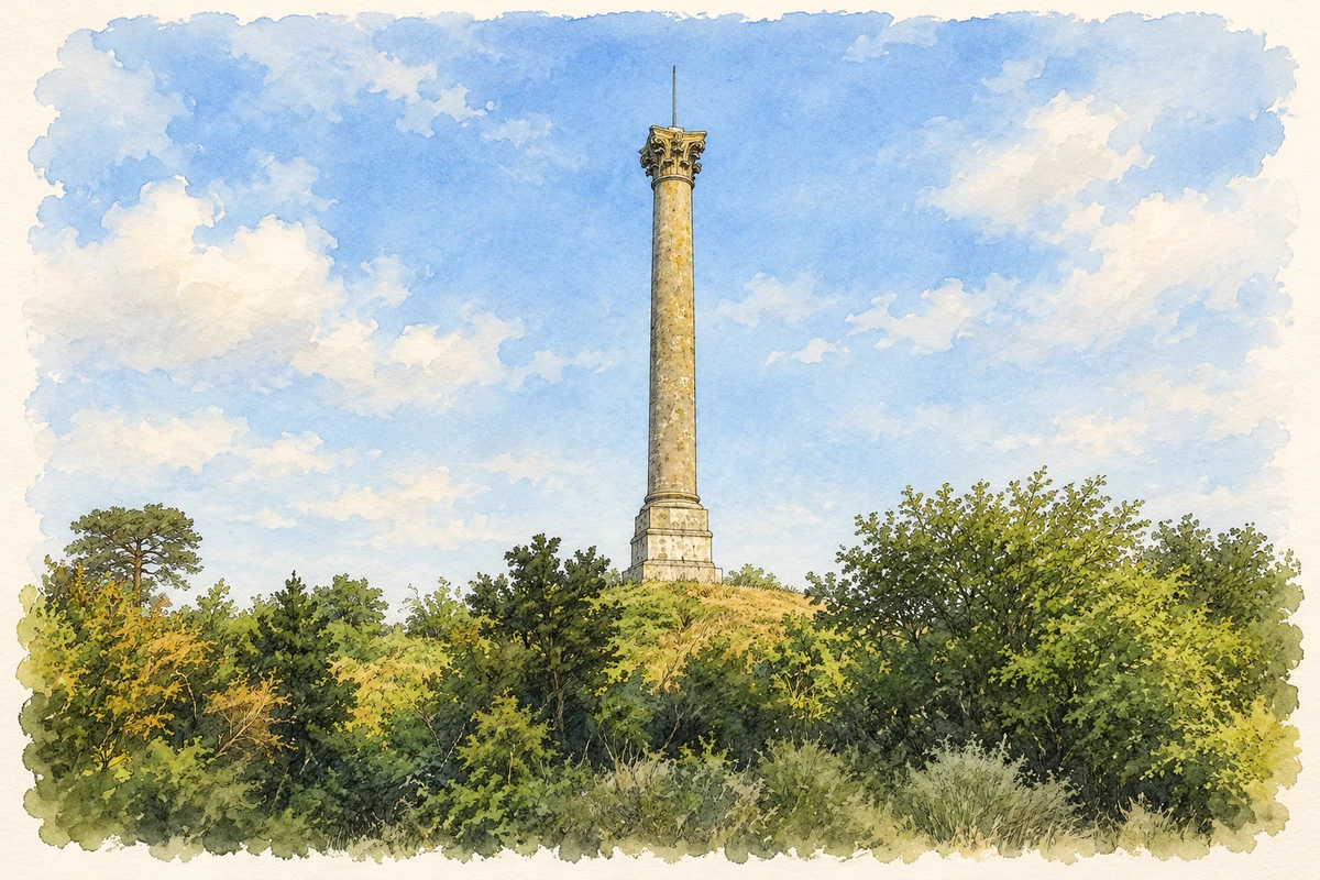
Illustration, Browne-Clayton Column, near Newbawn
⊕Recorded locationNewbawn52.34168° N · 6.79731° WInteractive map supplied by OpenStreetMap.
These Irish name elements are associated with this record in the Logainm glossary.
An element’s translation is a clue, rather than a complete explanation of the name. Its form and meaning depend on local history and the full Irish name.
Recorded forms
An Bábhún Nua· Irish · main form · validated name
Newbawn· English · main form
Place & story
A cultivated parish and its services
In 1837 Samuel Lewis described Newbawn's wider parish as chiefly tilled and well cultivated. Two private schools taught about fifty children, while a dispensary served Newbawn and neighbouring Clongeen. The Catholic parish district included chapels at Adamstown, Raheen and Cullinstown as well as Newbawn itself. Lewis also recorded a ruined tower on a farm occupied by Tobias Rossiter. His account places the small village within a larger network of farms, worship and basic services.[2]
Carrigburn and 1798
Carrigburn Hill in Newbawn parish served as a rebel encampment before the battle of New Ross in 1798. Lewis's later account records the force leaving on the evening of 4 June. Nearby Scullabogue became the site of the killing of prisoners held in a barn. These events belong to the surrounding parish landscape, rather than to the village street, and connect Newbawn with one of the rebellion's most tragic episodes.[2]
William Hague's church
The present Catholic church was built between 1889 and 1896, replacing an earlier cruciform chapel. Architect William Hague designed a long nave ending in a half-octagonal apse. Fieldstone in differing colours contrasts with granite dressings around the openings, and an exposed hammerbeam roof spans the interior. Brass monuments commemorate the priests Philip Devereux and John Doyle. The building was dedicated in 1896, with later sanctuary alterations in 1965. Its carefully worked stone and timber preserve the scale of the parish's late Victorian investment in a new church.[3]
Features beside the portal tomb
Monitoring in Newbawn townland in 2022 examined construction ground near a recorded portal tomb. Three small possible archaeological features appeared in an additional stripped area. Two contained charcoal-rich fills with traces of burnt bone visible at the surface. The features were covered and the soil reinstated to preserve them where they lay. The report adds evidence of activity near the tomb without establishing a date or a direct relationship between those deposits and the monument.[4]
Both counts use the 2016 settlement boundary, allowing like-for-like comparison. CSO supplies the 2022 count on this older boundary for comparison only. The official 2022 Built Up Area has different boundaries.
View population figures
Newbawn — Census 2016 settlement footprint — census population
These are the historical areas published in the 2006 census report. Boundaries may differ between censuses and from modern settlements. Legal towns, environs and suburbs are shown separately; none has been combined into a modern settlement total.
View population figures
Newbawn, Wexford — Census town, CSO 2006 report — census population
These figures use different area definitions. Read the boundary note before comparing them.
Newbawn, Wexford
Published census settlement populations
177people · 2016
Settlement boundaries changed during this period. Differences may reflect boundary changes as well as population change. Where a 2011 legal-town-and-environs count is shown, it has not been recalculated onto the 2016 settlement boundary.
 placenames