These Irish name elements are associated with this record in the Logainm glossary.
An element’s translation is a clue, rather than a complete explanation of the name. Its form and meaning depend on local history and the full Irish name.
Recorded forms
Droim Caorthainn· Irish · main form · validated name
Drumkeeran· English · main form
Drumkeerin· English · main form · local name
Place & story
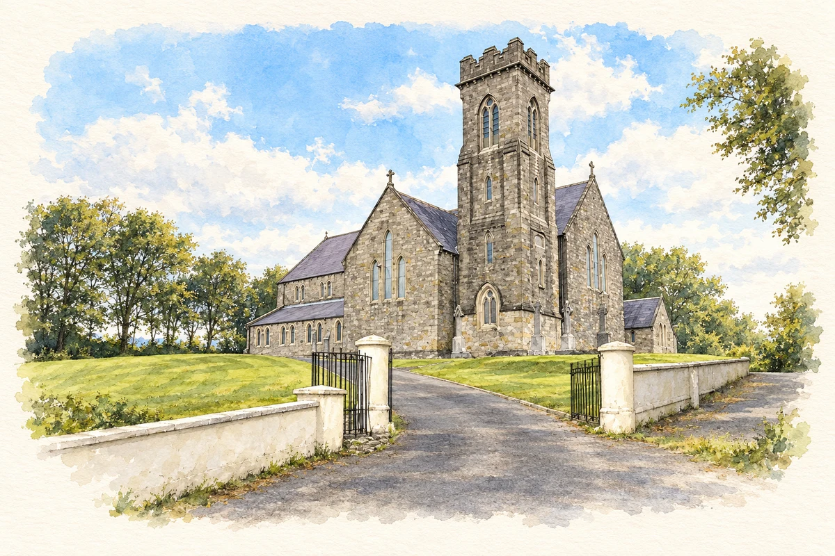
Saint Brigid’s above the lake
Saint Brigid's Church was built in 1869, replacing an earlier building remembered as the Bog Chapel, which dated from the 1770s. The parish's own account describes a sandstone church on an elevated site overlooking Lough Allen. Bishop Nicholas Conaty opened it during the ministry of James McPartlan, a native of Greaghnaslieve in the parish. A belfry was added in 1886. McPartlan died that year and was buried inside the church beside the Blessed Virgin's altar.[2]
People & connections
Brian Hoare’s team of 1933
Brian Hoare, a teacher at Allenview National School, organised Drumkeerin's first Gaelic football team of the modern era. Originally from Knockcroghery in County Roscommon, he had played club football in Dublin and represented Roscommon. The club records its first game on 2 April 1933 in Buchannan's Field, between the Dowra Road and the Old Road. Hoare scored a goal, although Ballinaglera won the match. The account gives a named organiser and an identifiable playing field to the beginning of the club's competitive history.[3]
Handball and a new playing field
A handball alley built in 1929 supported a flourishing local game through the following decades. Football organisation later benefited from Séamus Duffy, appointed curate in Inishmagrath in 1953. The club credits him with promoting youth competitions and securing a field on the Manorhamilton side of the village, used before the present pitch was acquired. These facilities show the practical work behind local sport: providing places to play was as necessary as assembling the teams.[3]
Both counts use the 2016 settlement boundary, allowing like-for-like comparison. CSO supplies the 2022 count on this older boundary for comparison only. The official 2022 Built Up Area has different boundaries.
View population figures
Drumkeeran — Census 2016 settlement footprint — census population
Drumkeeran, Leitrim — Census town, CSO 2006 report
2002–2006: census town
249people · 2006
These are the historical areas published in the 2006 census report. Boundaries may differ between censuses and from modern settlements. Legal towns, environs and suburbs are shown separately; none has been combined into a modern settlement total.
View population figures
Drumkeeran, Leitrim — Census town, CSO 2006 report — census population
Drumkeeran, Leitrim — Census town, CSO 1996 report
1991–1996: census town
220people · 1996
These are the historical areas published in the 1996 census report. Boundaries may differ between censuses and from modern settlements. Legal towns, environs and suburbs are shown separately; none has been combined into a modern settlement total.
View population figures
Drumkeeran, Leitrim — Census town, CSO 1996 report — census population
Drumkeeran, Leitrim — Census town, CSO 1986 report
1981–1986: census town
238people · 1986
Figures cover the historical town area printed in the 1986 report. Boundaries may have changed between censuses. Legal town, environs and suburb totals remain separate and differ from modern settlement boundaries.
View population figures
Drumkeeran, Leitrim — Census town, CSO 1986 report — census population
These figures use different area definitions. Read the boundary note before comparing them.
Drumkeeran, Leitrim
Published census settlement populations
220people · 2016
Settlement boundaries changed during this period. Differences may reflect boundary changes as well as population change. Where a 2011 legal-town-and-environs count is shown, it has not been recalculated onto the 2016 settlement boundary.
 placenames