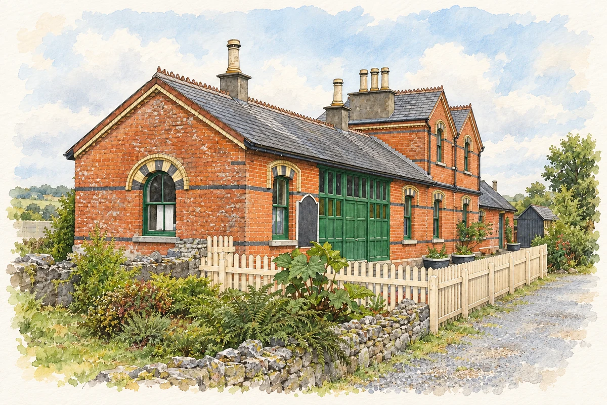
Drumod, widely written Dromod, connects the Dublin–Sligo main line with the history of a narrow-gauge railway that once carried passengers and coal through Leitrim and Cavan.
Illustration, Cavan and Leitrim Railway station, Dromod, in 2010
⊕Recorded locationDrumod53.85653° N · 7.92003° WInteractive map supplied by OpenStreetMap.
A reliable full-name meaning has not been established here. The recorded Irish and English forms are given without an unsupported translation.
Recorded forms
Dromad· Irish · main form · validated name
Drumod· English · main form
Dromod· English · main form · local name
Place & story
Where two railway systems met
The Cavan and Leitrim Railway opened its Dromod-to-Belturbet section in October 1887. At Dromod it connected with the Midland Great Western Railway's Dublin–Sligo line, making the village an interchange between different railway systems. A branch from Ballinamore reached Arigna in 1888 and was later extended towards the coalmines. The railway's own history records both passenger and freight work and the use of locally mined coal. Its closure in 1959 ended the original narrow-gauge operation, while the main-line connection remained a separate part of the village's transport story.[2]
The work behind the passenger station
The former goods shed at Dromod illustrates the less ceremonial side of railway architecture. Built around 1880, it has a tall interior behind a relatively modest frontage, with substantial doorways for moving goods and carefully finished limestone walls. Brick arches and stone dressings give visual definition to its openings. The architectural inventory treats it as part of the wider station complex. Such structures help explain why a junction needed more than platforms: freight handling, storage, signalling and locomotive facilities all occupied space around the passenger buildings.[3]
People & connections
Bringing trains back to the old site
The preservation group's account begins with enthusiasts inspecting Dromod in 1992. They found the original narrow-gauge station building, water tower and an engine shed concealed by ivy. After acquiring the site, the group relaid track and added workshops and storage for its collection. Public diesel trips began in May 1995, followed by steam services in June. The museum's development is therefore a later chapter of voluntary preservation, using surviving structures and collected vehicles to explain a railway whose original commercial operation had ended decades earlier.[4]
Both counts use the 2016 settlement boundary, allowing like-for-like comparison. CSO supplies the 2022 count on this older boundary for comparison only. The official 2022 Built Up Area has different boundaries.
View population figures
Drumod — Census 2016 settlement footprint — census population
These are the historical areas published in the 2006 census report. Boundaries may differ between censuses and from modern settlements. Legal towns, environs and suburbs are shown separately; none has been combined into a modern settlement total.
View population figures
Drumod, Leitrim — Census town, CSO 2006 report — census population
These figures use different area definitions. Read the boundary note before comparing them.
Drumod, Leitrim
Published census settlement populations
555people · 2016
Settlement boundaries changed during this period. Differences may reflect boundary changes as well as population change. Where a 2011 legal-town-and-environs count is shown, it has not been recalculated onto the 2016 settlement boundary.
Cavan and Leitrim Railway station, Dromod illustration: based on a Cavan-Leitrim Railway Station by John M. AI-assisted watercolour and ink adaptation; cream paper margins added, incidental clutter omitted and fine details simplified. Licence: CC BY-SA 2.0.
 placenames