These Irish name elements are associated with this record in the Logainm glossary.
An element’s translation is a clue, rather than a complete explanation of the name. Its form and meaning depend on local history and the full Irish name.
Recorded forms
Dún Búinne· Irish · main form · validated name
Dunboyne· English · main form
Place & story
The village in 1837
Lewis describes Dunboyne as a parish and village, formerly an incorporated town, close to the County Dublin boundary. He records eighty-two houses and 470 village inhabitants, while his larger population total includes the parish and Clonee. Straw-hat making operated locally, and a July fair attracted Dublin horse and cattle dealers. These details place the village within both a rural economy and the commercial reach of the capital.[2]
An older political identity
The directory cites a writ of 1423 ordering the provost and commonalty to assist the defence of Trim. It also records the burning of the town during the disturbances of 1798. Lewis's figures and descriptions remain a snapshot of the rebuilding that followed.[2]
The house called a castle
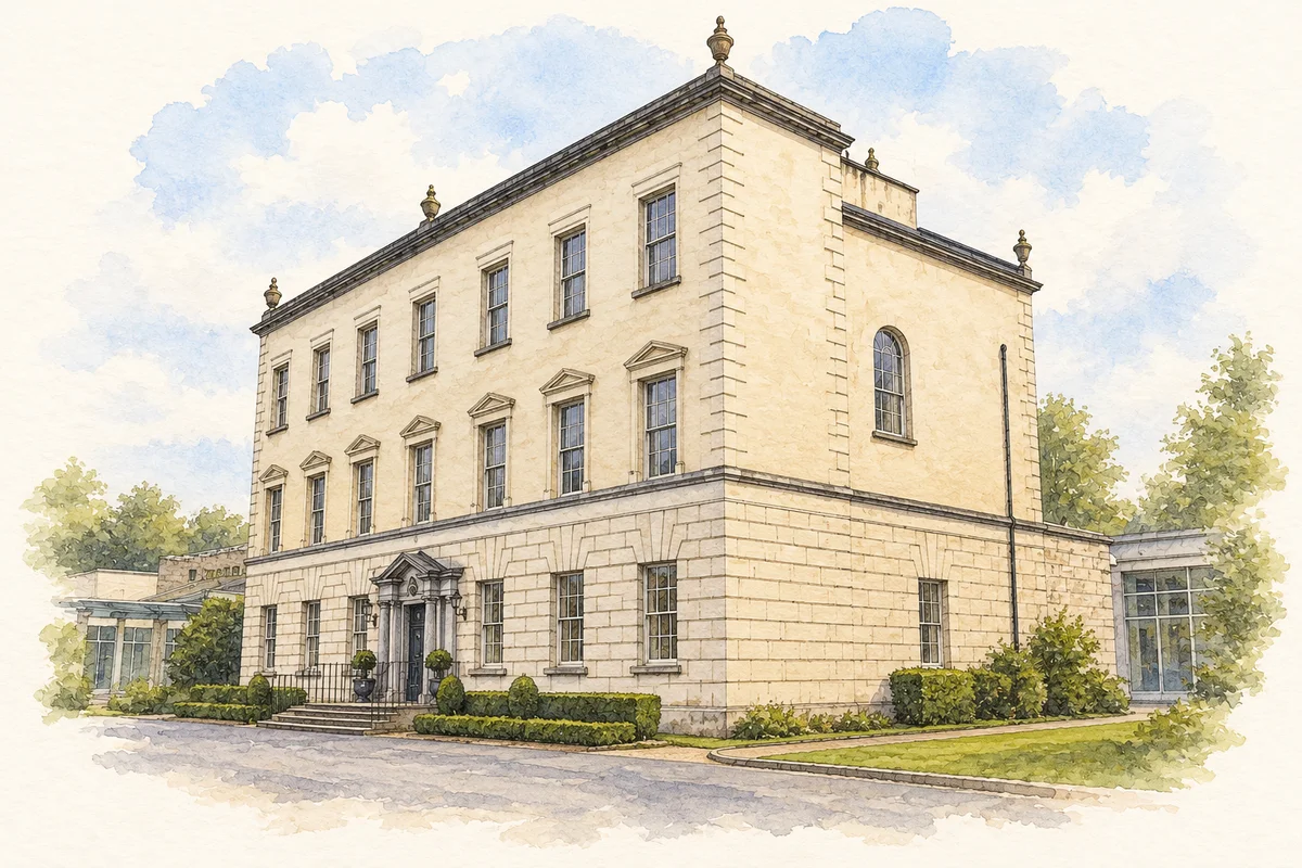
The surviving Dunboyne Castle is a Georgian country house completed in 1764, according to its operator’s history, which identifies George Darley as architect. It later housed the Good Shepherd Sisters before restoration and opening as a hotel in 2006.[3]
People & connections
John Bruton’s local connection
John Bruton was born in Dunboyne in 1947. After studying at University College Dublin and qualifying as a barrister, he entered national politics and served as Taoiseach from 1994 to 1997. Club de Madrid’s member biography identifies the town as his birthplace.[4]
Both counts use the 2016 settlement boundary, allowing like-for-like comparison. CSO supplies the 2022 count on this older boundary for comparison only. The official 2022 Built Up Area has different boundaries.
View population figures
Dunboyne — Census 2016 settlement footprint — census population
These are the historical areas published in the 2006 census report. Boundaries may differ between censuses and from modern settlements. Legal towns, environs and suburbs are shown separately; none has been combined into a modern settlement total.
View population figures
Dunboyne, Meath — Census town, CSO 2006 report — census population
These are the historical areas published in the 1996 census report. Boundaries may differ between censuses and from modern settlements. Legal towns, environs and suburbs are shown separately; none has been combined into a modern settlement total.
View population figures
Dunboyne, Meath — Census town, CSO 1996 report — census population
Figures cover the historical town area printed in the 1986 report. Boundaries may have changed between censuses. Legal town, environs and suburb totals remain separate and differ from modern settlement boundaries.
View population figures
Dunboyne, Meath — Census town, CSO 1986 report — census population
These figures use different area definitions. Read the boundary note before comparing them.
Dunboyne, Meath
Published census settlement populations
7,272people · 2016
Settlement boundaries changed during this period. Differences may reflect boundary changes as well as population change. Where a 2011 legal-town-and-environs count is shown, it has not been recalculated onto the 2016 settlement boundary.
Dunboyne Castle illustration: based on a reference photograph by Chris Andrews. AI watercolour and ink adaptation; clutter removed, margins added and fine details simplified. Licence: CC BY-SA 2.0.
 placenames