 placenames
Clonee
Cluain Aodha
Excavated buildings, a river bridge and a possible toll house reveal layers beneath Clonee’s roadside village.
The name
These Irish name elements are associated with this record in the Logainm glossary.
An element’s translation is a clue, rather than a complete explanation of the name. Its form and meaning depend on local history and the full Irish name.
Recorded forms
- Cluain Aodha · Irish · main form · validated name
- Clonee · English · main form
Place & story
A medieval farming settlement
Excavations in Clonee in 2004 uncovered a sod-walled medieval cottage, a small rectangular stone building and successive phases of cultivated fields. Ditches enclosed regularly spaced furrows, and finds included substantial quantities of medieval Dublin pottery. Two horse skulls had been deliberately placed beneath the stone building’s floor. Excavator Alan Hayden interpreted them as a good-luck deposit comparable with examples elsewhere in Ireland, while leaving the building’s original purpose uncertain. [2]
A post-town on the Dublin road
Samuel Lewis recorded Clonee in 1837 as a post-town of 217 inhabitants on the Dublin–Navan road, close to the Dublin county boundary. It also had a constabulary station. This brief contemporary account identifies the village’s position within a network of travel, communications and administration. The settlement’s later growth followed this east–west road corridor rather than a formally planned central square. [3] [4]
The limestone bridge
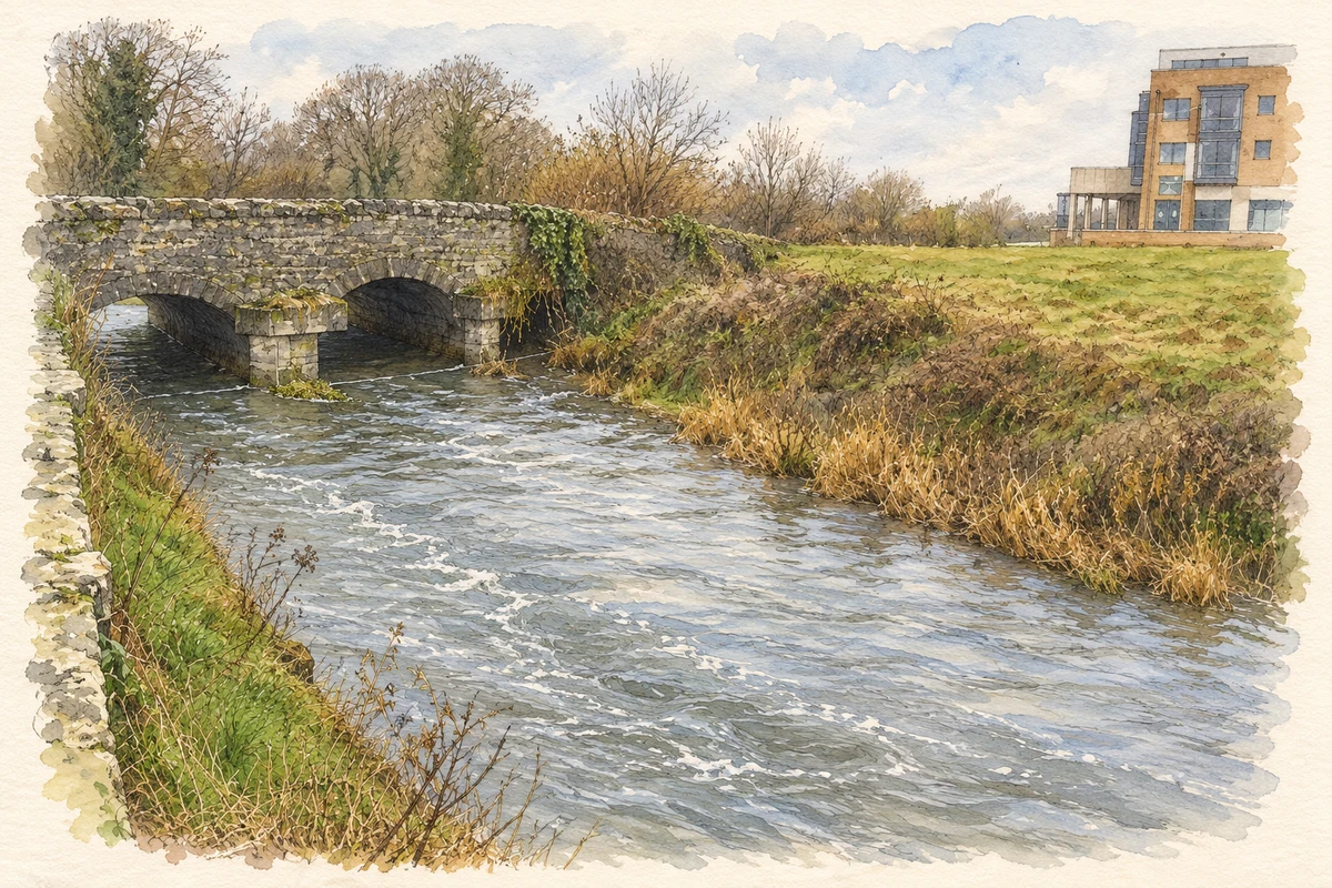
Clonee Bridge carries the road over three stone arches, with curved cutwaters facing upstream. The architectural survey notes a contrast between segmental arches on one face and round arches on the other. Dressed limestone around the openings contrasts with the more textured walling. Later ashlar supports carry a cast-iron pipe, adding a further practical function to a structure that remains central to the village’s historic road alignment. [5]
A possible toll house
An early nineteenth-century house and adjoining outbuildings near the bridge preserve another trace of the old road. The architectural inventory records the L-shaped group on the first-edition Ordnance Survey maps, when it stood directly alongside the route before realignment. Its possible identification as a former toll house remains tentative. Small openings, lime-rendered rubble walls and round stone gate piers give this modest complex a different character from the village’s later development. [6]
Geographic information
Sources & further reading
- Logainm.ie — Clonee. Place names and geographic record, licensed under CC BY 4.0.
- 2004:1207: Clonee, licence 04E 1383 · Alan Hayden, Archaeological Projects Ltd., Excavations.ie
- Clonee: Samuel Lewis’s 1837 description · Samuel Lewis, reproduced by University of Portsmouth, A Vision of Britain through Time
- Dunboyne, Clonee and Pace Local Area Plan, historical development, section 2.4 · Meath County Council
- Clonee Bridge, NIAH 14342003 · National Inventory of Architectural Heritage
- Clonee house and outbuildings, NIAH 14342004 · National Inventory of Architectural Heritage
- Clonee Bridge over the Tolka illustration: based on a Clonee Bridge, Clonee by Harold Strong. AI-assisted watercolour and ink adaptation; cream paper margins added, incidental clutter omitted and fine details simplified. Licence: CC BY-SA 2.0; adapted illustration distributed under the same licence.
Name record retrieved 2026-10-25 · Source record modified 2025-01-10. How this page was prepared.