These Irish name elements are associated with this record in the Logainm glossary.
An element’s translation is a clue, rather than a complete explanation of the name. Its form and meaning depend on local history and the full Irish name.
Recorded forms
Baile Íomhair· Irish · main form · validated name
Ballivor· English · main form
Place & story
People & connections
Lord Darnley's two church sites
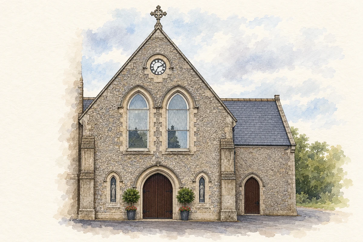
Ballivor grew around an early nineteenth-century police barracks at the crossroads between Trim and Raharney. John Bligh, fourth Earl of Darnley, gave land and contributed two hundred pounds towards the Church of Ireland building dated 1821. In the same year he also gave land across the road for the Catholic church of St Columbanus. His patronage helped establish the two facing religious sites that became prominent landmarks in the growing village.[2]
The form of St Kinneth's
The original St Kinneth's consisted of a rectangular nave and square western tower; the chancel and vestry were later additions. Its simple form belongs to the Board of First Fruits church-building programme, which supplied a seven-hundred-pound loan. The protected ensemble also includes the surrounding graveyard, hexagonal stone gate piers and iron gates and railings. Across the road, St Columbanus's cruciform building likewise dates to 1821, with dressed limestone entrance piers.[2][3]
A hall and a village pump
Ballivor's smaller protected structures record everyday services as well as worship. The former hall, built around 1830 and subsequently used as a health centre, has dressed limestone walls, a hipped slate roof and a central porch. A cast-iron pump dating to about 1870 preserves another public amenity. Its fluted details, finial, spout and curved handle combine decoration with a once essential means of obtaining water in the village.[3]
Both counts use the 2016 settlement boundary, allowing like-for-like comparison. CSO supplies the 2022 count on this older boundary for comparison only. The official 2022 Built Up Area has different boundaries.
View population figures
Ballivor — Census 2016 settlement footprint — census population
These are the historical areas published in the 2006 census report. Boundaries may differ between censuses and from modern settlements. Legal towns, environs and suburbs are shown separately; none has been combined into a modern settlement total.
View population figures
Ballivor, Meath — Census town, CSO 2006 report — census population
These are the historical areas published in the 1996 census report. Boundaries may differ between censuses and from modern settlements. Legal towns, environs and suburbs are shown separately; none has been combined into a modern settlement total.
View population figures
Ballivor, Meath — Census town, CSO 1996 report — census population
Figures cover the historical town area printed in the 1986 report. Boundaries may have changed between censuses. Legal town, environs and suburb totals remain separate and differ from modern settlement boundaries.
View population figures
Ballivor, Meath — Census town, CSO 1986 report — census population
These figures use different area definitions. Read the boundary note before comparing them.
Ballivor, Meath
Published census settlement populations
1,809people · 2016
Settlement boundaries changed during this period. Differences may reflect boundary changes as well as population change. Where a 2011 legal-town-and-environs count is shown, it has not been recalculated onto the 2016 settlement boundary.
Entrance of Saint Columbanus' Church, Ballivor illustration: based on a Ballivor - St Columbanus' Church - 20180909143306 by Rathkennamike2. AI-assisted watercolour and ink adaptation; cream paper margins added, incidental clutter omitted and fine details simplified. Licence: CC BY-SA 4.0.
 placenames