Donore’s position shaped its role in the Battle of the Boyne, while its nineteenth-century church and nearby visitor centre connect the village with different periods of the valley’s history.
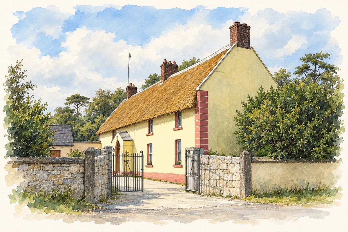
Illustration, thatched farmhouse, Donore, in 2007
⊕Recorded locationDonore53.69222° N · 6.41975° WInteractive map supplied by OpenStreetMap.
These Irish name elements are associated with this record in the Logainm glossary.
An element’s translation is a clue, rather than a complete explanation of the name. Its form and meaning depend on local history and the full Irish name.
Recorded forms
Dún Uabhair· Irish · main form · validated name
Donore· English · main form
Place & story
Donore Hill in the battle of 1690
James II initially deployed his army around Donore Hill before the Battle of the Boyne on 1 July 1690, using the position to contest the river crossing at Oldbridge while retaining a route for withdrawal. The National Army Museum's account describes Jacobite cavalry fighting a rearguard action around the hill and Platin as William III's forces advanced. This places Donore within a broad battlefield extending beyond a single ford. The village's elevated surroundings were part of the tactical landscape through which the armies moved and eventually retreated.[2]
The church at the village centre
The Catholic Church of the Nativity of Our Lady, also recorded as Saint Mary's, dates from around 1840. Its limestone façade, pointed windows and surviving interior details form part of a group with the parochial house and former school. The neighbouring house uses brick dressings around unusually shaped windows, adding variety to the compact church ensemble. Meath County Council identifies these buildings as the focus of the village centre. Their nineteenth-century fabric represents a later phase of Donore's development, well after the battle with which its name is often associated.[3][4][5]
Interpreting the prehistoric valley
The Brú na Bóinne Visitor Centre opened in 1997 on the south side of the Boyne, overlooking the core of the World Heritage landscape. The Office of Public Works uses it to introduce the Neolithic monuments and the communities that built them. Meath's development plan places Donore within the site's buffer zone, linking decisions about the village with the protection of the wider setting. The visitor centre and the passage tombs are distinct locations: Donore provides an approach to their landscape, rather than containing every monument within its village streets.[5][6]
Both counts use the 2016 settlement boundary, allowing like-for-like comparison. CSO supplies the 2022 count on this older boundary for comparison only. The official 2022 Built Up Area has different boundaries.
View population figures
Donore — Census 2016 settlement footprint — census population
These are the historical areas published in the 2006 census report. Boundaries may differ between censuses and from modern settlements. Legal towns, environs and suburbs are shown separately; none has been combined into a modern settlement total.
View population figures
Donore, Meath — Census town, CSO 2006 report — census population
These are the historical areas published in the 1996 census report. Boundaries may differ between censuses and from modern settlements. Legal towns, environs and suburbs are shown separately; none has been combined into a modern settlement total.
View population figures
Donore, Meath — Census town, CSO 1996 report — census population
These figures use different area definitions. Read the boundary note before comparing them.
Donore, Meath
Published census settlement populations
760people · 2016
Settlement boundaries changed during this period. Differences may reflect boundary changes as well as population change. Where a 2011 legal-town-and-environs count is shown, it has not been recalculated onto the 2016 settlement boundary.
Thatched farmhouse, Donore illustration: based on a Thatched farmhouse at Donore, Co. Meath by Kieran Campbell. AI-assisted watercolour and ink adaptation; cream paper margins added, incidental clutter omitted and fine details simplified. Licence: CC BY-SA 2.0.
 placenames