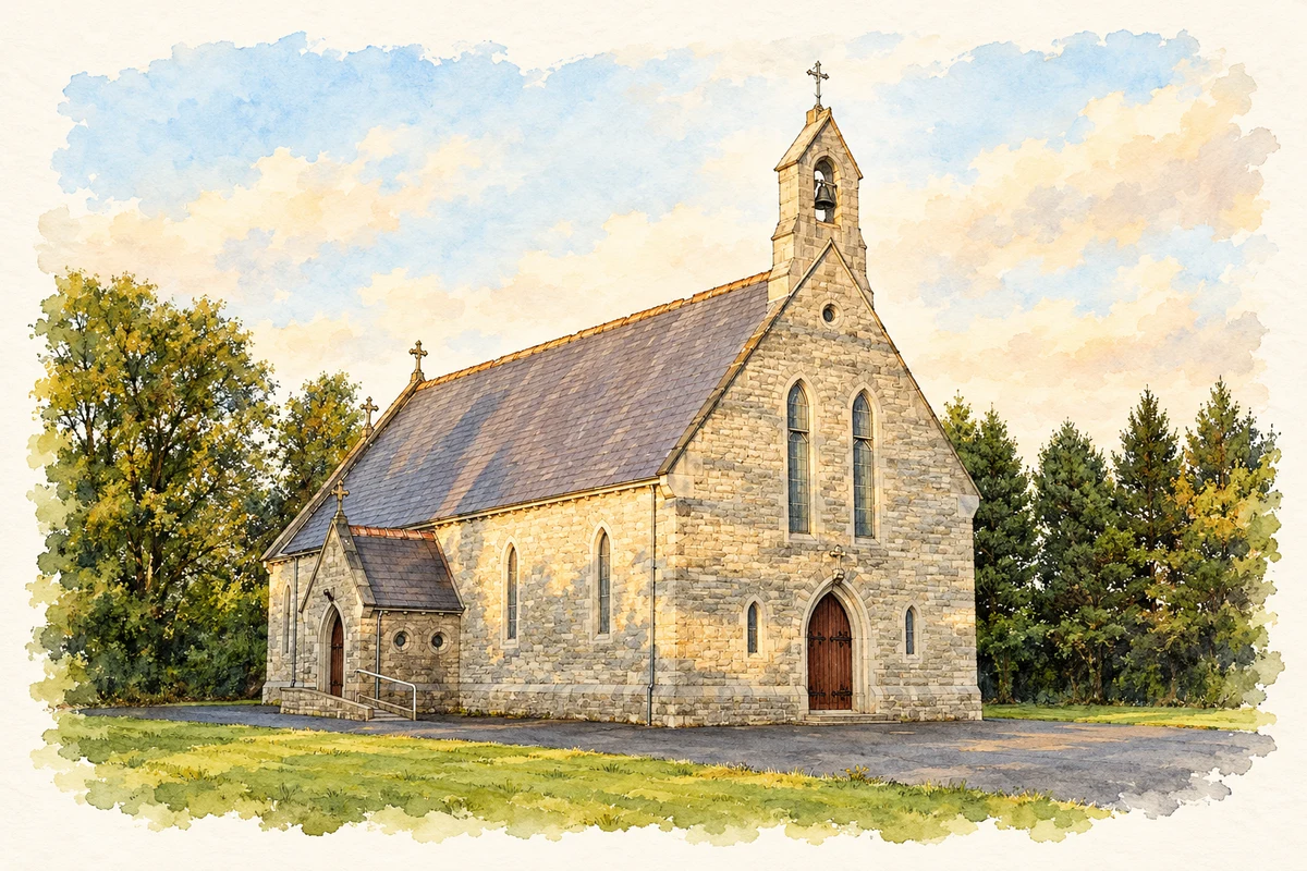
Kildalkey’s devotion to Saint Dympna is expressed in a restored well and an old cemetery, while its parish hall preserves a separate history of charity, education and community life.
Illustration, Saint Dympna's Church, Kildalkey
⊕Recorded locationKildalkey53.57078° N · 6.90548° WInteractive map supplied by OpenStreetMap.
These Irish name elements are associated with this record in the Logainm glossary.
An element’s translation is a clue, rather than a complete explanation of the name. Its form and meaning depend on local history and the full Irish name.
Recorded forms
Cill Dealga· Irish · main form · validated name
Kildalkey· English · main form
Place & story
Folklore & tradition
The well formed from tears
Local historian Noel French records a tradition that Saint Dympna fled to Kildalkey and wept beside the old religious site until a well sprang up at her feet. The same account describes annual remembrance on 15 May and beliefs about the water's healing properties. These are devotional traditions rather than evidence for a miraculous origin or medical effect. The connection with Dympna gives the well a place in local memory even though the precise dedication and early history of the neighbouring ecclesiastical remains are less certain.[2]
Restoration and the old burial ground
The well had repeatedly been described as dry or neglected before Kildalkey's Active Retirement Association undertook restoration as a millennium project. French records a blessing in October 2000 and a renewed gathering for the saint's feast. The neighbouring cemetery preserves grave markers in limestone, slate, marble and cast iron, together with remnants of a medieval church. The architectural inventory identifies this combination of burial ground, church remains and holy well as evidence of the site's long religious use. The restored well adds a recent community initiative to that older landscape.[2][3]
An almshouse becomes a school and hall
Saint Dympna's Hall began as an almshouse in 1856. It served as a school between 1888 and 1931 and was adapted as a hall in 1951. Its two-storey frontage has projecting gabled ends, sash windows and stone dressings, retaining the form of a substantial nineteenth-century institutional building. These successive uses connect charitable provision, teaching and social activity within the same walls. The sequence also explains why different generations may remember the building by different names or purposes without referring to separate structures in the village.[4]
Both counts use the 2016 settlement boundary, allowing like-for-like comparison. CSO supplies the 2022 count on this older boundary for comparison only. The official 2022 Built Up Area has different boundaries.
View population figures
Kildalkey — Census 2016 settlement footprint — census population
These are the historical areas published in the 2006 census report. Boundaries may differ between censuses and from modern settlements. Legal towns, environs and suburbs are shown separately; none has been combined into a modern settlement total.
View population figures
Kildalkey, Meath — Census town, CSO 2006 report — census population
These are the historical areas published in the 1996 census report. Boundaries may differ between censuses and from modern settlements. Legal towns, environs and suburbs are shown separately; none has been combined into a modern settlement total.
View population figures
Kildalkey, Meath — Census town, CSO 1996 report — census population
These figures use different area definitions. Read the boundary note before comparing them.
Kildalkey, Meath
Published census settlement populations
708people · 2016
Settlement boundaries changed during this period. Differences may reflect boundary changes as well as population change. Where a 2011 legal-town-and-environs count is shown, it has not been recalculated onto the 2016 settlement boundary.
 placenames