These Irish name elements are associated with this record in the Logainm glossary.
An element’s translation is a clue, rather than a complete explanation of the name. Its form and meaning depend on local history and the full Irish name.
Recorded forms
Ráth Tó· Irish · main form · validated name
Ratoath· English · main form
Place & story
The motte and its bailey
The recorded earthwork at Ratoath is a substantial flat-topped mound, about eleven metres high, with traces of a surrounding ditch and a rectangular bailey to the southeast. Meath’s local plan gives its base a diameter of roughly sixty-two metres. It remains a conspicuous feature of the town’s historic centre. The archaeological account places it within the Anglo-Norman manor and suggests Hugh de Lacy may have built it during the 1170s.[2][3]
A church at the head of a deanery
Ratoath’s medieval parish church became the head of a deanery. It appears in the ecclesiastical taxation records of 1302–06 and later belonged to the possessions of St Thomas’s Augustinian abbey in Dublin. Seventeenth-century visitation accounts describe a church with a slated roof, glazed windows and a clay floor. These details bring the institution down to the scale of an occupied building, with fittings and repairs as well as ecclesiastical status.[2]
Surviving towers and carved stone
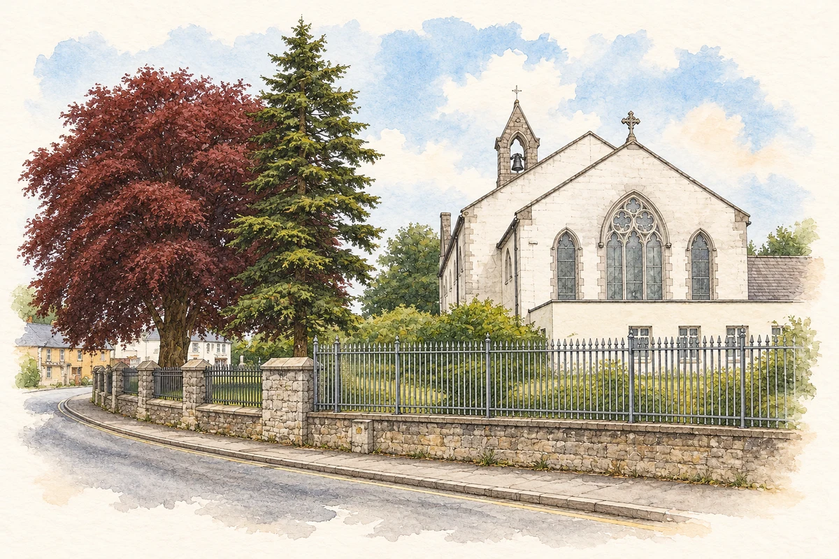
The Church of Ireland site retains its castellated tower, dated around 1817. The Catholic Holy Trinity church began around 1820 and was substantially rebuilt later in the century. An older octagonal font and a medieval knight’s grave slab add carved traces of earlier worship and commemoration.[2][4]
Both counts use the 2016 settlement boundary, allowing like-for-like comparison. CSO supplies the 2022 count on this older boundary for comparison only. The official 2022 Built Up Area has different boundaries.
View population figures
Ratoath — Census 2016 settlement footprint — census population
These are the historical areas published in the 2006 census report. Boundaries may differ between censuses and from modern settlements. Legal towns, environs and suburbs are shown separately; none has been combined into a modern settlement total.
View population figures
Ratoath, Meath — Census town, CSO 2006 report — census population
These are the historical areas published in the 1996 census report. Boundaries may differ between censuses and from modern settlements. Legal towns, environs and suburbs are shown separately; none has been combined into a modern settlement total.
View population figures
Ratoath, Meath — Census town, CSO 1996 report — census population
Figures cover the historical town area printed in the 1986 report. Boundaries may have changed between censuses. Legal town, environs and suburb totals remain separate and differ from modern settlement boundaries.
View population figures
Ratoath, Meath — Census town, CSO 1986 report — census population
These figures use different area definitions. Read the boundary note before comparing them.
Ratoath, Meath
Published census settlement populations
9,533people · 2016
Settlement boundaries changed during this period. Differences may reflect boundary changes as well as population change. Where a 2011 legal-town-and-environs count is shown, it has not been recalculated onto the 2016 settlement boundary.
Holy Trinity Church, Ratoath, County Meath illustration: based on a Holy Trinity church, Ratoath, Co. Meath by Jonathan Billinger. AI-assisted watercolour and ink adaptation; cream paper margins added, incidental clutter omitted and fine details simplified. Licence: CC BY-SA 2.0.
 placenames