These Irish name elements are associated with this record in the Logainm glossary.
An element’s translation is a clue, rather than a complete explanation of the name. Its form and meaning depend on local history and the full Irish name.
Recorded forms
Baile Shláine· Irish · main form · validated name
Slane· English · main form
Place & story
Four houses around a crossroads
Slane's central crossroads forms an octagon, framed by four substantial three-storey limestone houses. Their matching appearance resulted from deliberate planning. Terry Trench's local study records that the north-western house began as an inn; a lease of 13 August 1767 required Henry Fisher to build the north-eastern house to the same plan. Their different doorways give each building an individual character. The curved garden walls came later: nineteenth-century maps show the houses gradually withdrawing from the open market space behind their present boundaries.[2]
People & connections
Francis Ledwidge's local world
Francis Ledwidge was born at Janeville outside Slane on 19 August 1887. Before becoming known as a poet, he worked locally as a groom, farm labourer, roadworker and miner. He helped establish a drama group and organised for improved working conditions in the Beauparc copper mines. Lord Dunsany became his literary patron. Ledwidge's later military service took him far from Meath; he was killed near Ypres on 31 July 1917. His birthplace now houses the museum dedicated to his life and writing.[3]
Folklore & tradition
A light seen from Tara
The Easter-fire legend, told by the seventh-century writer Muirchú and retold by J. B. Bury in 1905, places Patrick on the Hill of Slane on Easter Eve. His fire shines across the country towards Tara before the king's own ceremonial fire has been lit. Alarmed advisers warn that this new flame will overcome their authority, and the king sets out to confront its maker. The encounter gives the hill a dramatic role in the traditional story of Ireland's conversion.[4]
Both counts use the 2016 settlement boundary, allowing like-for-like comparison. CSO supplies the 2022 count on this older boundary for comparison only. The official 2022 Built Up Area has different boundaries.
View population figures
Slane — Census 2016 settlement footprint — census population
These are the historical areas published in the 2006 census report. Boundaries may differ between censuses and from modern settlements. Legal towns, environs and suburbs are shown separately; none has been combined into a modern settlement total.
View population figures
Slane, Meath — Census town, CSO 2006 report — census population
These are the historical areas published in the 1996 census report. Boundaries may differ between censuses and from modern settlements. Legal towns, environs and suburbs are shown separately; none has been combined into a modern settlement total.
View population figures
Slane, Meath — Census town, CSO 1996 report — census population
Figures cover the historical town area printed in the 1986 report. Boundaries may have changed between censuses. Legal town, environs and suburb totals remain separate and differ from modern settlement boundaries.
View population figures
Slane, Meath — Census town, CSO 1986 report — census population
These figures use different area definitions. Read the boundary note before comparing them.
Slane, Meath
Published census settlement populations
1,369people · 2016
Settlement boundaries changed during this period. Differences may reflect boundary changes as well as population change. Where a 2011 legal-town-and-environs count is shown, it has not been recalculated onto the 2016 settlement boundary.
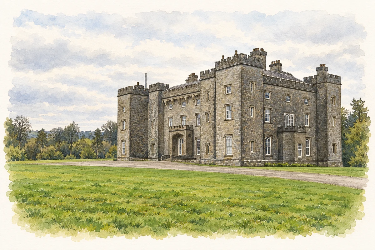
Slane Castle illustration: based on a Slane Castle by Jamie Carroll. AI-assisted watercolour and ink adaptation; cream paper margins added, incidental clutter omitted and fine details simplified. Licence: CC BY-SA 2.0.
 placenames