These Irish name elements are associated with this record in the Logainm glossary.
An element’s translation is a clue, rather than a complete explanation of the name. Its form and meaning depend on local history and the full Irish name.
Recorded forms
Steach Maoilín· Irish · main form · validated name
Stamullin· English · main form
Stamullen· English · main form · local name
Place & story
The church and its chapel
The ruined medieval parish church retains the division between nave and chancel. A chapel attached to the chancel’s southern side contains two contrasting monuments: a double-effigy tomb of the sixteenth century and a cadaver carving. One represents a commemorated couple; the other uses the image of the dead body itself. Their survival makes the churchyard a distinctive local record of funerary art.[2]
A nineteenth-century church renewed
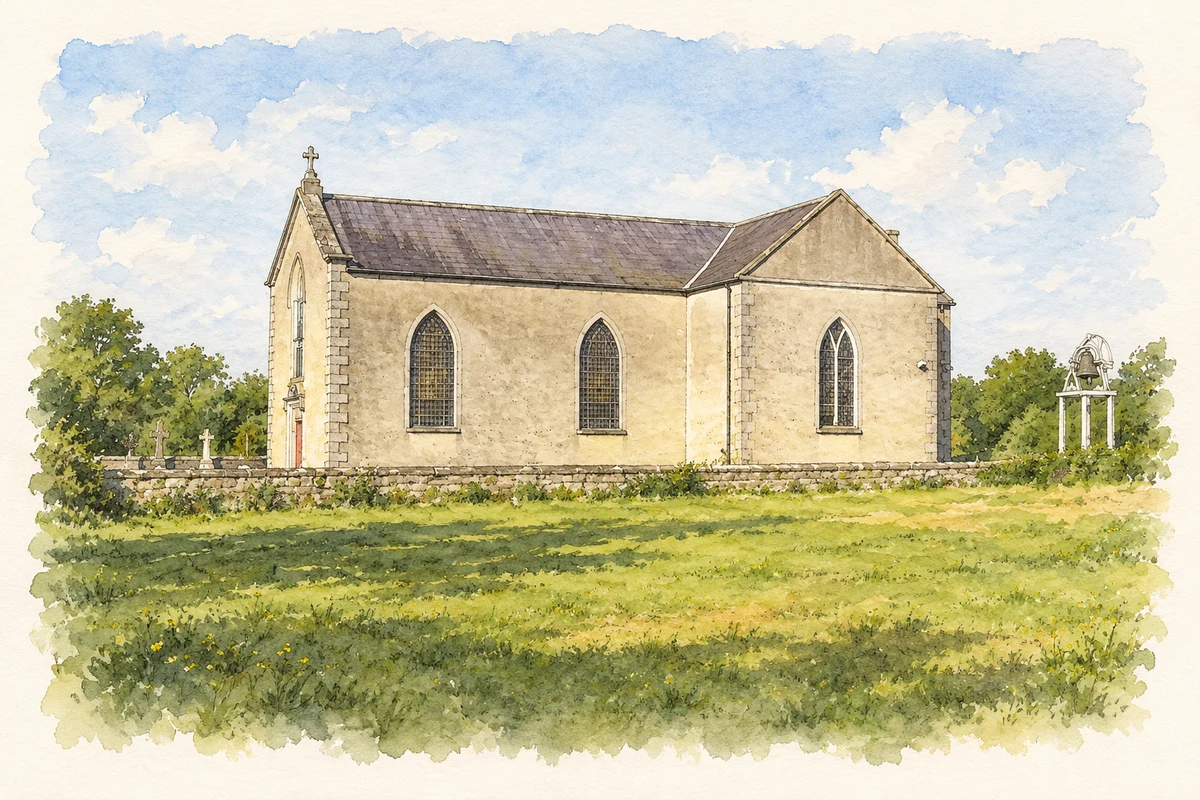
The Catholic church dates from 1831. Built on a T-shaped plan with lancet windows, it was renovated in 1961, when a sanctuary and baptistry were added. The building records a later phase of worship within the village, continuing through adaptation to new liturgical and practical needs.[2]
A gazebo in the surrounding estate landscape
At nearby Herbertstown, an eighteenth-century gazebo belongs to the designed landscape beyond the village. NIAH identifies it among Meath’s notable garden follies, alongside monuments such as the Tower of Lloyd. Built around 1760, the gazebo offered an architectural focus for recreation and viewing. It represents another use of crafted stone in the district, distinct from the churchyard’s commemorative monuments.[3]
Both counts use the 2016 settlement boundary, allowing like-for-like comparison. CSO supplies the 2022 count on this older boundary for comparison only. The official 2022 Built Up Area has different boundaries.
View population figures
Stamullen — Census 2016 settlement footprint — census population
These are the historical areas published in the 2006 census report. Boundaries may differ between censuses and from modern settlements. Legal towns, environs and suburbs are shown separately; none has been combined into a modern settlement total.
View population figures
Stamullen, Meath — Census town, CSO 2006 report — census population
These are the historical areas published in the 1996 census report. Boundaries may differ between censuses and from modern settlements. Legal towns, environs and suburbs are shown separately; none has been combined into a modern settlement total.
View population figures
Stamullen, Meath — Census town, CSO 1996 report — census population
Figures cover the historical town area printed in the 1986 report. Boundaries may have changed between censuses. Legal town, environs and suburb totals remain separate and differ from modern settlement boundaries.
View population figures
Stamullen, Meath — Census town, CSO 1986 report — census population
These figures use different area definitions. Read the boundary note before comparing them.
Stamullen, Meath
Published census settlement populations
3,361people · 2016
Settlement boundaries changed during this period. Differences may reflect boundary changes as well as population change. Where a 2011 legal-town-and-environs count is shown, it has not been recalculated onto the 2016 settlement boundary.
 placenames