Summerhill’s long green and straight approach preserve the design of an estate village, even though the great house that once dominated it has disappeared.
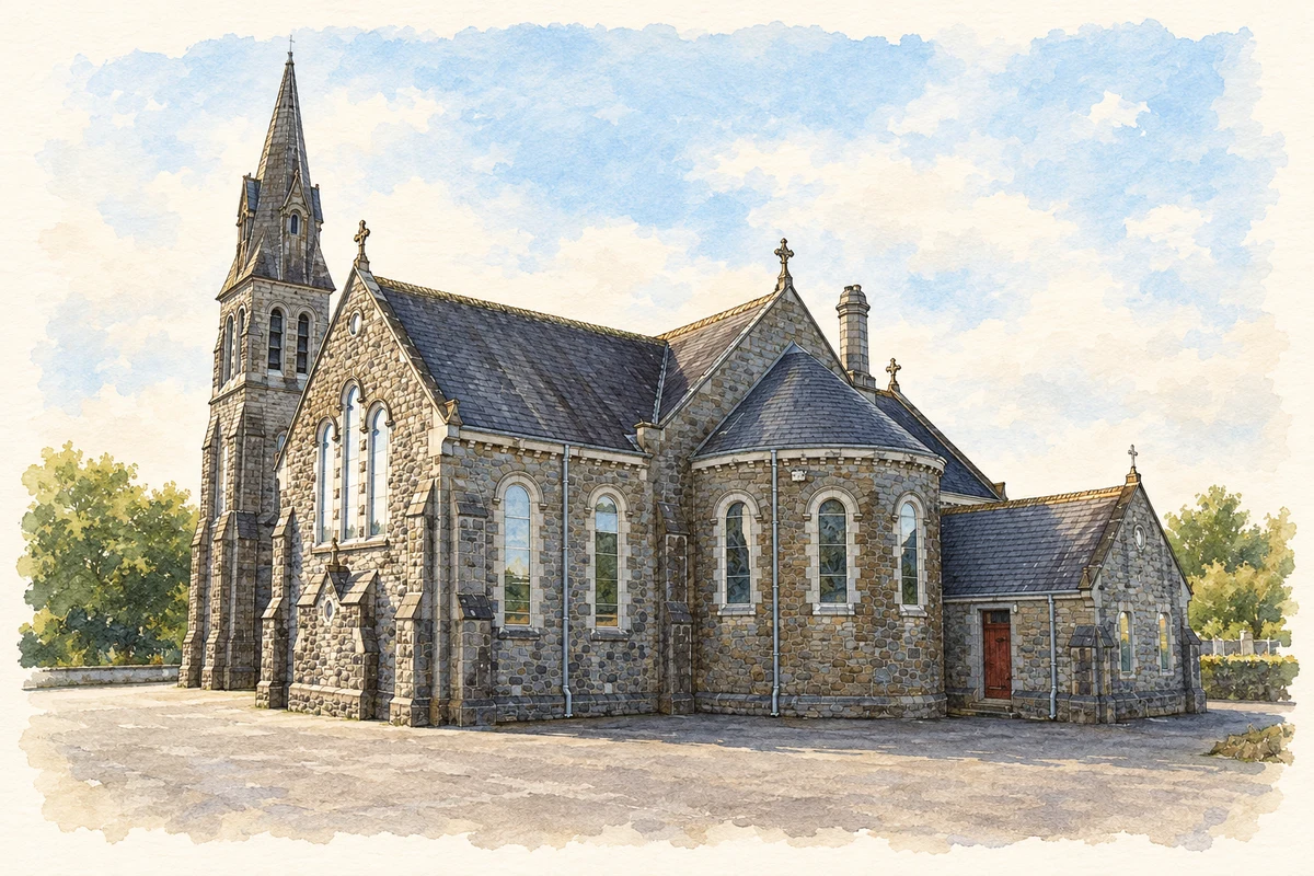
Illustration, Church of Our Lady of Lourdes, Dangan, near Summerhill
⊕Recorded locationSummerhill53.48222° N · 6.73444° WInteractive map supplied by OpenStreetMap.
These Irish name elements are associated with this record in the Logainm glossary.
An element’s translation is a clue, rather than a complete explanation of the name. Its form and meaning depend on local history and the full Irish name.
Recorded forms
Cnoc an Línsigh· Irish · main form · validated name
Summerhill· English · main form
Place & story
The village aligned with the estate
Meath County Council's conservation-area study describes Summerhill as a designed estate village outside the demesne walls. A long, broad street encloses a narrow green, aligned with the avenue that formerly led to Summerhill House. The entrance gates allowed the view along that axis to remain open. The study also notes the absence of a Church of Ireland church closing the opposite end of the village, a feature found in some comparable estate settlements. It relates that difference to the Presbyterian Rowley family's religious affiliation. The layout thus preserves evidence of both landscape planning and the patron's background.[2]
The lost house on the hill
Summerhill House was built for Hercules Rowley in the early eighteenth century and associated with the architects Edward Lovett Pearce and Richard Castle. Local historian Noel French describes a central block with curved wings ending in towers and pavilions, designed to command its elevated setting. The house was altered over time, burned in 1921 and eventually demolished. Some stone was reused at Dalgan Park near Navan. Its former presence helps explain the village's orientation, but surviving estate features should not be mistaken for an intact mansion still standing beyond the gates.[3]
People & connections
Elisabeth’s visits to Meath
Empress Elisabeth of Austria rented Summerhill House as a base for hunting in 1879 and 1880. French records adaptations for her stay, including a private chapel, a gymnasium and a telegraph connection to Europe. She joined hunts in the surrounding countryside, bringing an international visitor into the social world of the Meath estates. Her association with Summerhill was temporary residence during these visits. It is distinct from the Rowley family's long ownership and from the house's subsequent destruction, which occurred decades after her time in Ireland.[3]
Both counts use the 2016 settlement boundary, allowing like-for-like comparison. CSO supplies the 2022 count on this older boundary for comparison only. The official 2022 Built Up Area has different boundaries.
View population figures
Summerhill — Census 2016 settlement footprint — census population
These are the historical areas published in the 2006 census report. Boundaries may differ between censuses and from modern settlements. Legal towns, environs and suburbs are shown separately; none has been combined into a modern settlement total.
View population figures
Summerhill, Meath — Census town, CSO 2006 report — census population
These are the historical areas published in the 1996 census report. Boundaries may differ between censuses and from modern settlements. Legal towns, environs and suburbs are shown separately; none has been combined into a modern settlement total.
View population figures
Summerhill, Meath — Census town, CSO 1996 report — census population
Figures cover the historical town area printed in the 1986 report. Boundaries may have changed between censuses. Legal town, environs and suburb totals remain separate and differ from modern settlement boundaries.
View population figures
Summerhill, Meath — Census town, CSO 1986 report — census population
These figures use different area definitions. Read the boundary note before comparing them.
Summerhill, Meath
Published census settlement populations
878people · 2016
Settlement boundaries changed during this period. Differences may reflect boundary changes as well as population change. Where a 2011 legal-town-and-environs count is shown, it has not been recalculated onto the 2016 settlement boundary.
 placenames