These Irish name elements are associated with this record in the Logainm glossary.
An element’s translation is a clue, rather than a complete explanation of the name. Its form and meaning depend on local history and the full Irish name.
Recorded forms
Dún Garbhán· Irish · main form · validated name
Dungarvan· English · main form
Place & story
A town shaped by the bay
Lewis’s 1837 description places Dungarvan on a peninsula between arms of its bay, with streets leading towards the port and quays. A bridge and long causeway, built through the Duke of Devonshire’s patronage in 1815, connected it with Abbeyside. The waterway between them influenced everyday movement as well as the form of the town.[2]
Fishing involved whole households
The directory’s fishery account includes boat crews, fish cleaning and salting by women and children, and other work ashore. It also separates fishing craft, rowing boats used in seaweed gathering and coasting vessels. These are different activities, not one interchangeable fleet. The source describes changes following the withdrawal of bounties, showing how policy could affect employment in a coastal town.[2]
People & connections
Ernest Walton’s Abbeyside birthplace
Ernest Thomas Sinton Walton was born in Abbeyside in 1903. His father’s appointments as a Methodist minister took the family to a succession of homes. Walton studied mathematics and experimental science at Trinity College Dublin, then moved to Cambridge’s Cavendish Laboratory in 1927.[3][4]
Working with John Cockcroft, Walton developed apparatus that used accelerated protons to transform lithium nuclei into helium nuclei. Their work brought the pair the 1951 Nobel Prize in Physics. Walton returned to Trinity as a lecturer in 1934.[4]
Both counts use the 2016 settlement boundary, allowing like-for-like comparison. CSO supplies the 2022 count on this older boundary for comparison only. The official 2022 Built Up Area has different boundaries.
View population figures
Dungarvan — Census 2016 settlement footprint — census population
These are the historical areas published in the 2006 census report. Boundaries may differ between censuses and from modern settlements. Legal towns, environs and suburbs are shown separately; none has been combined into a modern settlement total.
View population figures
Dungarvan Legal Town, Waterford — Legal town, CSO 2006 report — census population
Dungarvan Environs, Waterford — Town environs only, CSO 2006 report
2002–2006: town environs only
549people · 2006
These are the historical areas published in the 2006 census report. Boundaries may differ between censuses and from modern settlements. Legal towns, environs and suburbs are shown separately; none has been combined into a modern settlement total.
View population figures
Dungarvan Environs, Waterford — Town environs only, CSO 2006 report — census population
These are the historical areas published in the 1996 census report. Boundaries may differ between censuses and from modern settlements. Legal towns, environs and suburbs are shown separately; none has been combined into a modern settlement total.
View population figures
Dungarvan Legal Town, Waterford — Legal town, CSO 1996 report — census population
Figures cover the historical town area printed in the 1986 report. Boundaries may have changed between censuses. Legal town, environs and suburb totals remain separate and differ from modern settlement boundaries.
View population figures
Dungarvan, Waterford — Legal town, CSO 1986 report — census population
These figures use different area definitions. Read the boundary note before comparing them.
Dungarvan, Waterford — 2011 legal town and environs; 2016 census settlement
Published census settlement populations
9,227people · 2016
Settlement boundaries changed during this period. Differences may reflect boundary changes as well as population change. Where a 2011 legal-town-and-environs count is shown, it has not been recalculated onto the 2016 settlement boundary.
View population figures
Dungarvan, Waterford — 2011 legal town and environs; 2016 census settlement — census population
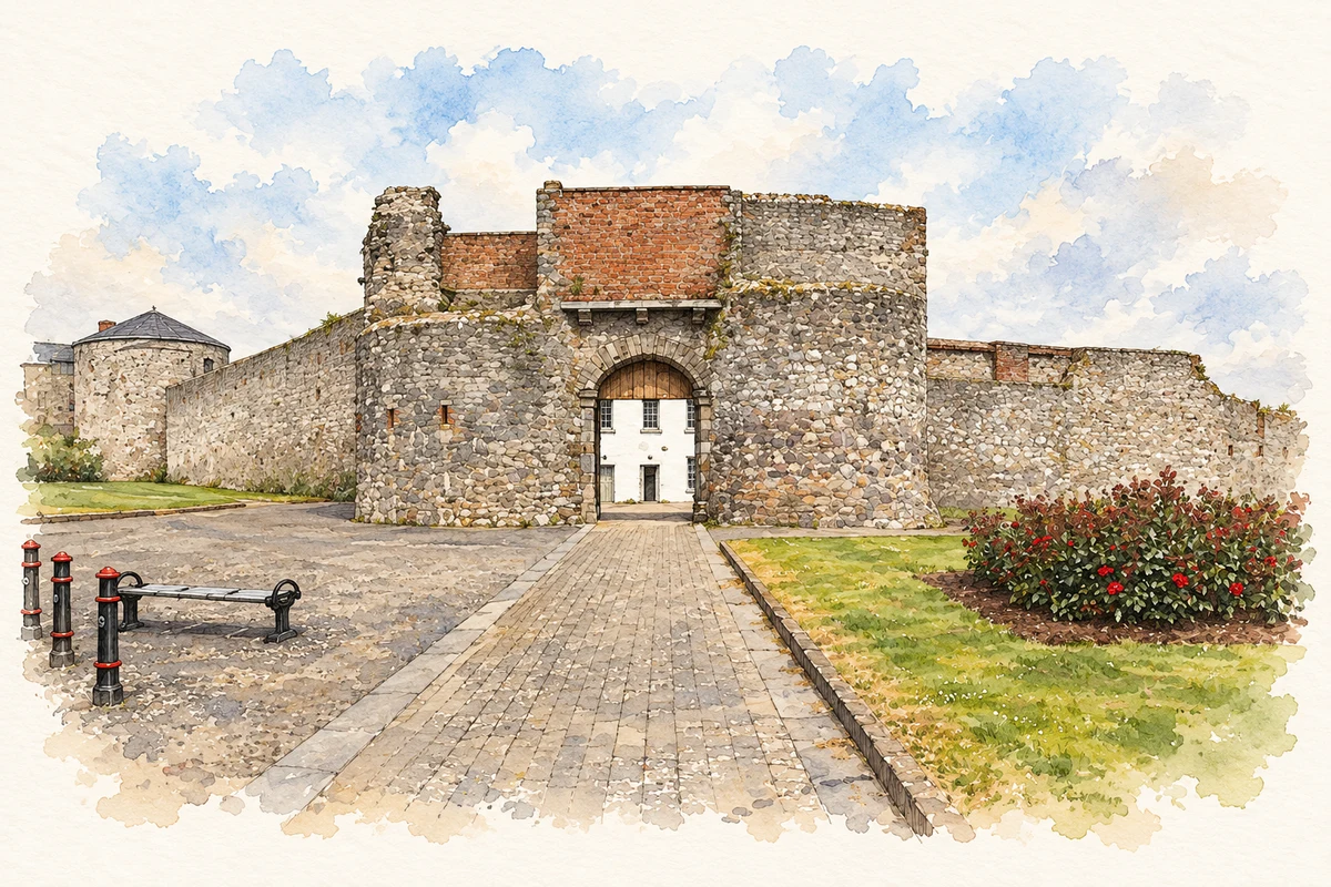
Dungarvan Castle gatehouse, County Waterford illustration: based on a Castles of Munster: Dungarvan, Waterford (1) by Mike Searle. AI-assisted watercolour and ink adaptation; cream paper margins added, incidental clutter omitted and fine details simplified. Licence: CC BY-SA 2.0.
 placenames