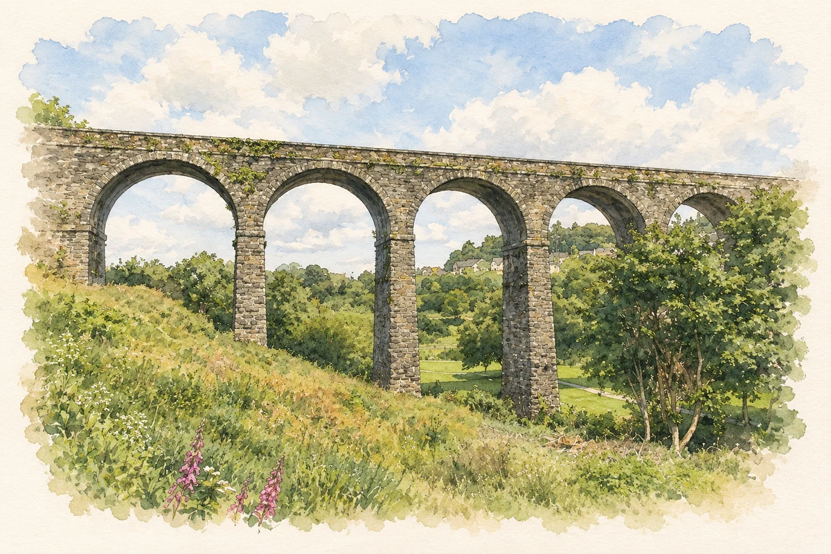
Kilmacthomas’s familiar viaduct belongs to a wider history of mills, transport and poor relief, with surviving records that reveal lives beyond the monumental stonework.
Illustration, view of River Mahon railway viaduct, Kilmacthomas
⊕Recorded locationKilmacthomas52.20538° N · 7.42425° WInteractive map supplied by OpenStreetMap.
These Irish name elements are associated with this record in the Logainm glossary.
An element’s translation is a clue, rather than a complete explanation of the name. Its form and meaning depend on local history and the full Irish name.
Recorded forms
Coill Mhic Thomáisín· Irish · main form · validated name
Kilmacthomas· English · main form
Place & story
The railway across the town
Kilmacthomas's railway viaduct opened in 1878. The National Inventory of Architectural Heritage attributes its design to James Otway and its construction to Smith Finlayson and Company of Glasgow. Seven masonry arches combine with a central iron span, creating a structure suited to the streets and river crossing beneath it. The carefully dressed stone and surviving metalwork record different engineering skills within one landmark. Its later incorporation into the Waterford Greenway gave the former railway route a new role for walking and cycling, with Kilmacthomas becoming a stopping point along the trail.[2][3]
A century of woollen-mill building
The woollen mill at Graigueshoneen records a long industrial life in its changing fabric. An initial stone range dates from around 1855, followed by a substantial extension in 1879. Further work around 1955 introduced a higher concrete-built range and altered the older roofs. The architectural survey distinguishes these phases through masonry, window openings and building form. Rather than a single Victorian structure, the complex represents successive investment in textile production. Alongside the town's corn-milling heritage, it explains why Kilmacthomas was a place of manufacturing as well as a railway stop.[4]
Reading the workhouse records carefully
The Kilmacthomas Poor Law Union was created in 1850, but historian G. Crotty's study of its administration finds that the workhouse did not admit residents until 1853. Waterford's archive holds the guardians' minute books, which include weekly totals, food provision, disease and decisions about daily management. Individual admission registers have not been found. That distinction matters for family research: surviving administrative records can describe the institution and sometimes particular cases, but should not be presented as a complete searchable list of every person who entered it. The union's founding date also differs from the building's actual occupation.[5][6]
Both counts use the 2016 settlement boundary, allowing like-for-like comparison. CSO supplies the 2022 count on this older boundary for comparison only. The official 2022 Built Up Area has different boundaries.
View population figures
Kilmacthomas — Census 2016 settlement footprint — census population
Kilmacthomas, Waterford — Census town, CSO 2006 report
2002–2006: census town
783people · 2006
These are the historical areas published in the 2006 census report. Boundaries may differ between censuses and from modern settlements. Legal towns, environs and suburbs are shown separately; none has been combined into a modern settlement total.
View population figures
Kilmacthomas, Waterford — Census town, CSO 2006 report — census population
Kilmacthomas, Waterford — Census town, CSO 1996 report
1991–1996: census town
681people · 1996
These are the historical areas published in the 1996 census report. Boundaries may differ between censuses and from modern settlements. Legal towns, environs and suburbs are shown separately; none has been combined into a modern settlement total.
View population figures
Kilmacthomas, Waterford — Census town, CSO 1996 report — census population
Kilmacthomas, Waterford — Census town, CSO 1986 report
1981–1986: census town
648people · 1986
Figures cover the historical town area printed in the 1986 report. Boundaries may have changed between censuses. Legal town, environs and suburb totals remain separate and differ from modern settlement boundaries.
View population figures
Kilmacthomas, Waterford — Census town, CSO 1986 report — census population
These figures use different area definitions. Read the boundary note before comparing them.
Kilmacthomas, Waterford
Published census settlement populations
834people · 2016
Settlement boundaries changed during this period. Differences may reflect boundary changes as well as population change. Where a 2011 legal-town-and-environs count is shown, it has not been recalculated onto the 2016 settlement boundary.
 placenames