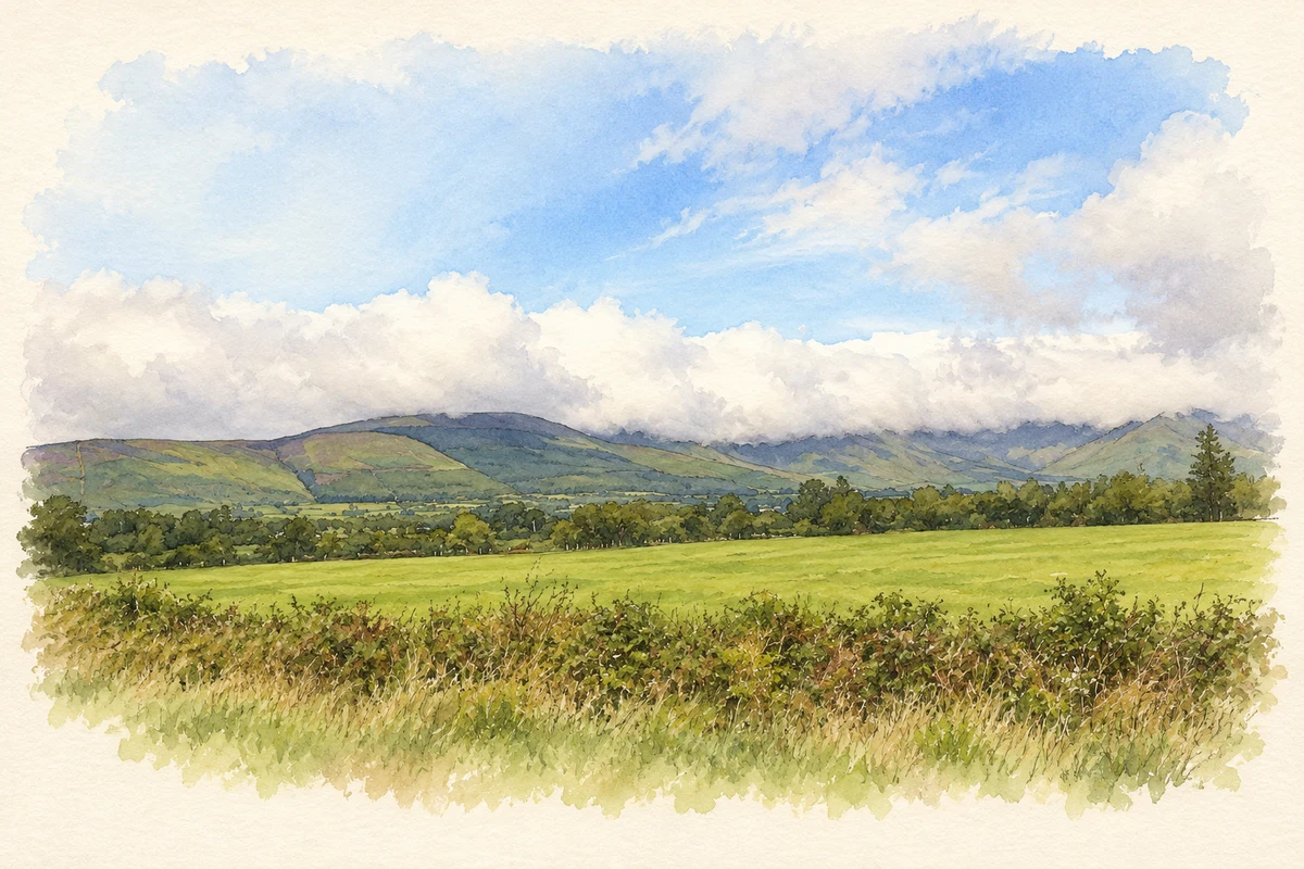
Lemybrien's recorded traditions include an extraordinary leap across the Comeragh foothills, while historical sources connect the village with policing, revolution and Kilrossanty football.
Illustration, Countryside near Lemybrien, northwest view
⊕Recorded locationLemybrien52.16784° N · 7.52496° WInteractive map supplied by OpenStreetMap.
These Irish name elements are associated with this record in the Logainm glossary.
An element’s translation is a clue, rather than a complete explanation of the name. Its form and meaning depend on local history and the full Irish name.
Recorded forms
Léim Uí Bhriain· Irish · main form · validated name
Lemybrien· English · main form
Place & story
Folklore & tradition
The long leap from Comeragh
Canon Patrick Power recorded a story about Lemybrien in The Place-Names of Decies in 1907. An O'Brien from Comeragh supposedly began an immense hop, step and jump on the mountain above. His first landing was at Kilrossanty, where marks on a stone were shown as his heelprints; the next carried him to Lemybrien, where similar marks were pointed out. Power identified this as a popular explanation of the place-name. His account did not supply a destination for the final jump, leaving the feat suspended across the local landscape.[2]
The barracks evacuated in 1920
IRA officer Edmond Power's Bureau of Military History statement recalled preparations to attack Lemybrien's RIC barracks around the end of September 1920. He described a stone building with protected windows and a garrison of eight or nine policemen under a sergeant. According to his account, the garrison left on the Saturday night before the intended Sunday operation. The Volunteers arrived to find it evacuated and burned the building. His recollection places the village within the reorganisation of policing and armed activity in west Waterford that autumn.[3]
Football and the politics of a field
Research into Kilrossanty's early GAA history identifies a Leamybrien family in a dispute reported in January 1888. A Mr Crotty told the club that he had surrendered a field associated with an evicted farmer at Stradbally. His son John played for Kilrossanty, and rival teams had objected to his participation because of the family's occupation of the land. A receipt was produced as evidence that the field had been given up. The episode connects village football with the land politics affecting local families and sporting relationships.[4]
Both counts use the 2016 settlement boundary, allowing like-for-like comparison. CSO supplies the 2022 count on this older boundary for comparison only. The official 2022 Built Up Area has different boundaries.
View population figures
Lemybrien — Census 2016 settlement footprint — census population
Lemybrien, Waterford — Census town, CSO 2006 report
2002–2006: census town
194people · 2006
These are the historical areas published in the 2006 census report. Boundaries may differ between censuses and from modern settlements. Legal towns, environs and suburbs are shown separately; none has been combined into a modern settlement total.
View population figures
Lemybrien, Waterford — Census town, CSO 2006 report — census population
Lemybrien, Waterford — Census town, CSO 1996 report
1991–1996: census town
197people · 1996
These are the historical areas published in the 1996 census report. Boundaries may differ between censuses and from modern settlements. Legal towns, environs and suburbs are shown separately; none has been combined into a modern settlement total.
View population figures
Lemybrien, Waterford — Census town, CSO 1996 report — census population
Lemybrien, Waterford — Census town, CSO 1986 report
1981–1986: census town
229people · 1986
Figures cover the historical town area printed in the 1986 report. Boundaries may have changed between censuses. Legal town, environs and suburb totals remain separate and differ from modern settlement boundaries.
View population figures
Lemybrien, Waterford — Census town, CSO 1986 report — census population
These figures use different area definitions. Read the boundary note before comparing them.
Lemybrien, Waterford
Published census settlement populations
192people · 2016
Settlement boundaries changed during this period. Differences may reflect boundary changes as well as population change. Where a 2011 legal-town-and-environs count is shown, it has not been recalculated onto the 2016 settlement boundary.
 placenames