These Irish name elements are associated with this record in the Logainm glossary.
An element’s translation is a clue, rather than a complete explanation of the name. Its form and meaning depend on local history and the full Irish name.
Recorded forms
An Baile Nua· Irish · main form · validated name
Villierstown· English · main form
Place & story
A village built for linen
John Villiers, Earl of Grandison, established Villierstown in the 1740s to accommodate linen weavers, including families from Lurgan in County Armagh. The planned settlement included a church, school, rectory and 24 houses built from local sandstone. Its wide main street and central Green preserve the formal layout. A route from the Green led towards the Blackwater quay. After the linen industry declined, employment on the nearby Dromana estate remained important to village households.[2]
A church offered to the village
In 1969 RTÉ's Newsbeat reported a dispute over the former Church of Ireland building. James Villiers Stuart had offered it to the village in 1963, and its keys were handed over in 1965 with the intention that Catholics could worship there. A local committee raised £1,500 for restoration. After changes in the Catholic parish leadership, the work stalled because the new parish priest withheld consent. Cathal O'Shannon's contemporary report captured the local debate over the gift and the building's future.[3]
People & connections
John Treacy's place on the world stage
Villierstown's John Treacy won the World Cross-Country Championship at Glasgow in 1978 and retained it at Limerick in 1979. His brother Ray also belonged to the Irish team contesting the latter championship. John went on to take the Olympic marathon silver medal at Los Angeles in 1984. Athletics Ireland's later commemoration of the Limerick victory recalled the village's close interest in the brothers' running and the remarkable local celebrations surrounding John's success.[4]
The quay and the Blackwater
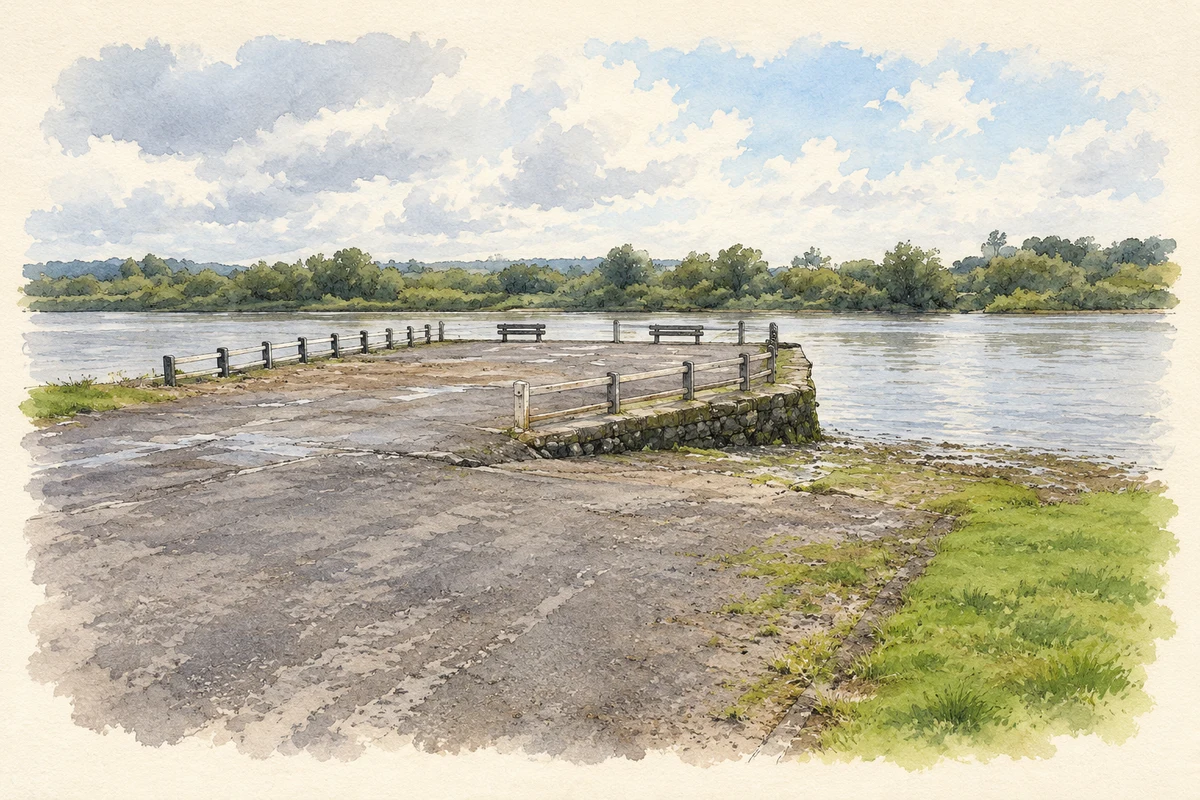
Villierstown Quay occupies an old ferry-crossing place on the Blackwater. A council-commissioned site assessment dates the surviving pier approximately to 1860. By its December 2024 survey, the neighbouring boathouse was occupied by Villierstown Boating and Activity Club, whose work centred on local access to the river and learning boat-handling skills. The quay provides a riverside counterpart to the estate village's formal main street.[5]
Both counts use the 2016 settlement boundary, allowing like-for-like comparison. CSO supplies the 2022 count on this older boundary for comparison only. The official 2022 Built Up Area has different boundaries.
View population figures
Villierstown — Census 2016 settlement footprint — census population
Villierstown, Waterford — Census town, CSO 2006 report
2002–2006: census town
260people · 2006
These are the historical areas published in the 2006 census report. Boundaries may differ between censuses and from modern settlements. Legal towns, environs and suburbs are shown separately; none has been combined into a modern settlement total.
View population figures
Villierstown, Waterford — Census town, CSO 2006 report — census population
These figures use different area definitions. Read the boundary note before comparing them.
Villierstown, Waterford
Published census settlement populations
276people · 2016
Settlement boundaries changed during this period. Differences may reflect boundary changes as well as population change. Where a 2011 legal-town-and-environs count is shown, it has not been recalculated onto the 2016 settlement boundary.
 placenames