A reliable full-name meaning has not been established here. The recorded Irish and English forms are given without an unsupported translation.
Recorded forms
Rúscaigh· Irish · main form · validated name
Roosky· English · main form
Place & story
A bridge that opens for boats
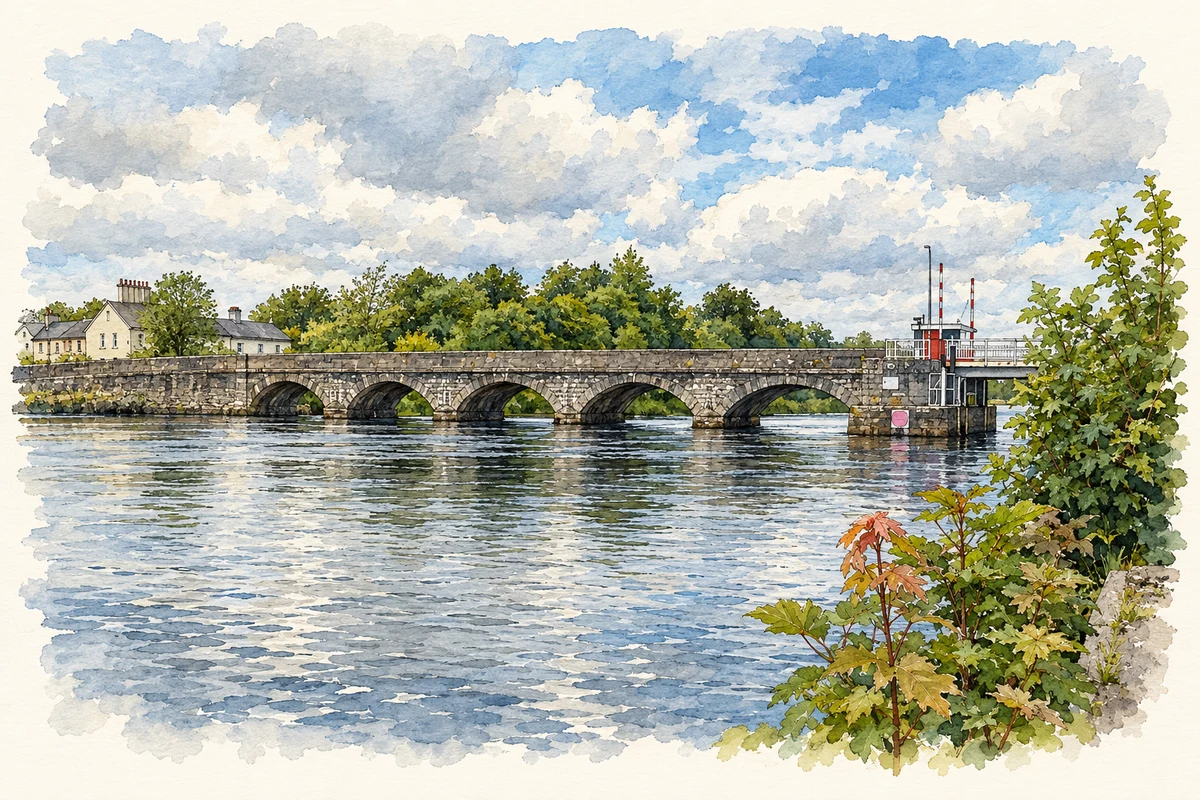
The five-arch bridge across the Shannon was built in 1845. Its stone piers, curved cutwaters and dressed arch stones belong to a programme of river improvements commemorated by a plaque on the parapet. The national architectural survey records the bridge on the Leitrim side of the crossing. At its eastern end, an automatic lifting section installed around 1970 replaced an earlier swing bridge. This moving span allows road traffic and river navigation to share the same crossing, while moorings below the bridge connect the village with passing boats.[2]
From canal to river navigation
Roosky's earlier navigation works took boats through a canal west of the Shannon. Built in the 1760s, this route included a lock that preceded the present river works. In the 1840s the Shannon Commissioners constructed the existing lock, alongside improvements that included the weir and road bridge. These successive schemes explain why the riverbank contains several different kinds of engineering. The lock controls a change in water level, the weir regulates the river and the bridge carries traffic across it while accommodating boats.[3]
The bacon factory and the fire
An EPA memorandum records pig slaughtering and processing at Roosky from the 1930s. The operation grew substantially, particularly between 1988 and 2002, and included curing, canning and wastewater treatment as well as slaughtering. A major fire in 2002 destroyed the slaughtering plant, curing hall and old stores. Slaughtering moved to other Glanbia factories, although meat canning continued locally until 2007. The factory's long life and eventual closure add a twentieth-century industrial history to a village more immediately associated with its river, bridge and boats.[4]
Both counts use the 2016 settlement boundary, allowing like-for-like comparison. CSO supplies the 2022 count on this older boundary for comparison only. The official 2022 Built Up Area has different boundaries.
View population figures
Roosky — Census 2016 settlement footprint — census population
Roosky, Leitrim and Roscommon — Census town, CSO 2006 report
2002–2006: census town
329people · 2006
These are the historical areas published in the 2006 census report. Boundaries may differ between censuses and from modern settlements. Legal towns, environs and suburbs are shown separately; none has been combined into a modern settlement total.
View population figures
Roosky, Leitrim and Roscommon — Census town, CSO 2006 report — census population
Roosky, Leitrim and Roscommon — Census town, CSO 1996 report
1991–1996: census town
220people · 1996
These are the historical areas published in the 1996 census report. Boundaries may differ between censuses and from modern settlements. Legal towns, environs and suburbs are shown separately; none has been combined into a modern settlement total.
View population figures
Roosky, Leitrim and Roscommon — Census town, CSO 1996 report — census population
These figures use different area definitions. Read the boundary note before comparing them.
Roosky, Leitrim and Roscommon
Published census settlement populations
564people · 2016
Settlement boundaries changed during this period. Differences may reflect boundary changes as well as population change. Where a 2011 legal-town-and-environs count is shown, it has not been recalculated onto the 2016 settlement boundary.
 placenames