Grange's old courthouse now interprets the Spanish Armada wrecks at nearby Streedagh. Archaeology within the village also reveals traces of its own earlier castle landscape.
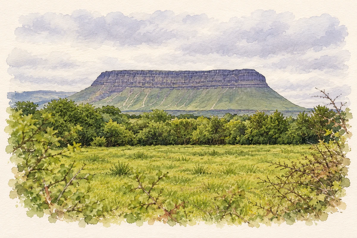
Illustration, Benbulben viewed from Grange
⊕Recorded locationGrange54.39358° N · 8.52698° WInteractive map supplied by OpenStreetMap.
These Irish name elements are associated with this record in the Logainm glossary.
An element’s translation is a clue, rather than a complete explanation of the name. Its form and meaning depend on local history and the full Irish name.
Recorded forms
An Ghráinseach· Irish · main form · validated name
Grange· English · main form
Place & story
Traces beneath the village
The hill north of Grange preserves the location of a medieval Cistercian settlement and an O'Hart castle. Archaeological monitoring during works at the church in 2010 found a substantial foundation interpreted as the castle's eastern wall. The work also identified small spreads of shells, although no finds established their date. The surviving foundations lay below later garden soil and service trenches. These discoveries show how remnants of the earlier settlement remain beneath buildings and spaces used by the modern village.[2]
The wrecks off Streedagh
Three Spanish Armada ships were wrecked at nearby Streedagh in September 1588: La Juliana, La Lavia and Santa Maria de la Visón. Divers located the wrecks in 1985. After storms exposed further material in 2015, the National Monuments Service investigated La Juliana, originally a merchant ship built at Mataró in 1570. The underwater project recovered nine bronze guns, a carriage wheel and a bronze cauldron for conservation. Surviving timbers and equipment provide direct evidence of the ships that came to grief on this coast.[3]
The courthouse tells the survivors' story
The Spanish Armada Visitor Centre occupies Grange's old courthouse. Community volunteers interpret the wrecks and the history of the expedition, connecting the village with the nearby shoreline. A docudrama draws on the testimony of Captain Francisco de Cuéllar, one of the survivors. Available in English and Spanish, it follows the experience of a man who lived through the disaster and left an account of his time in Ireland. The centre gives the former civic building a new use in explaining this shared Irish and Spanish history.[4]
Both counts use the 2016 settlement boundary, allowing like-for-like comparison. CSO supplies the 2022 count on this older boundary for comparison only. The official 2022 Built Up Area has different boundaries.
View population figures
Grange — Census 2016 settlement footprint — census population
These are the historical areas published in the 2006 census report. Boundaries may differ between censuses and from modern settlements. Legal towns, environs and suburbs are shown separately; none has been combined into a modern settlement total.
View population figures
Grange, Sligo — Census town, CSO 2006 report — census population
These figures use different area definitions. Read the boundary note before comparing them.
Grange, Sligo
Published census settlement populations
586people · 2016
Settlement boundaries changed during this period. Differences may reflect boundary changes as well as population change. Where a 2011 legal-town-and-environs count is shown, it has not been recalculated onto the 2016 settlement boundary.
Benbulben viewed from Grange, County Sligo illustration: based on a Benbulben (1,725 ft.), Ireland's 'Table Mountain', from Grange by Ben Brooksbank. AI-assisted watercolour and ink adaptation; cream paper margins added, incidental clutter omitted and fine details simplified. Licence: CC BY-SA 2.0.
 placenames